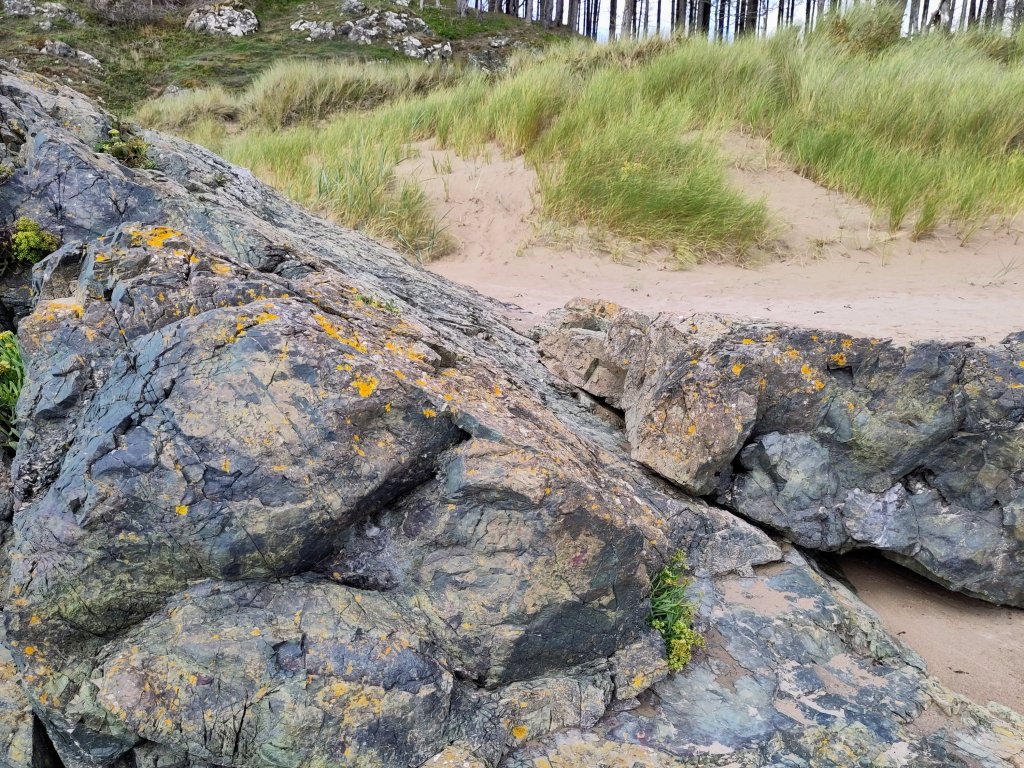
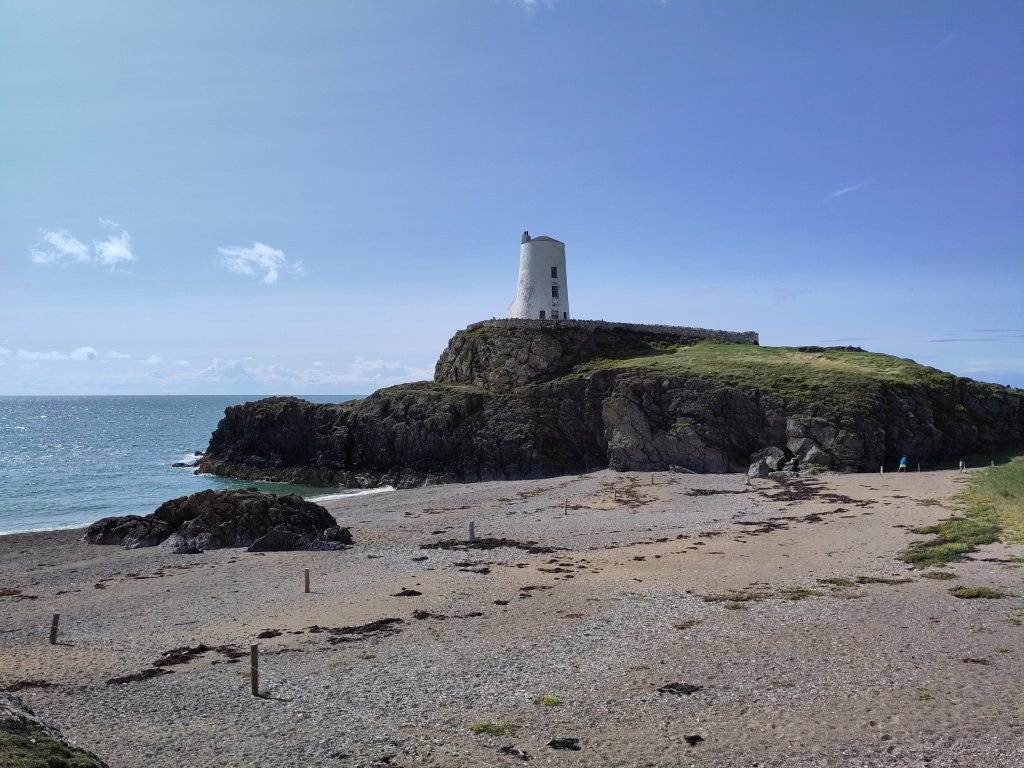
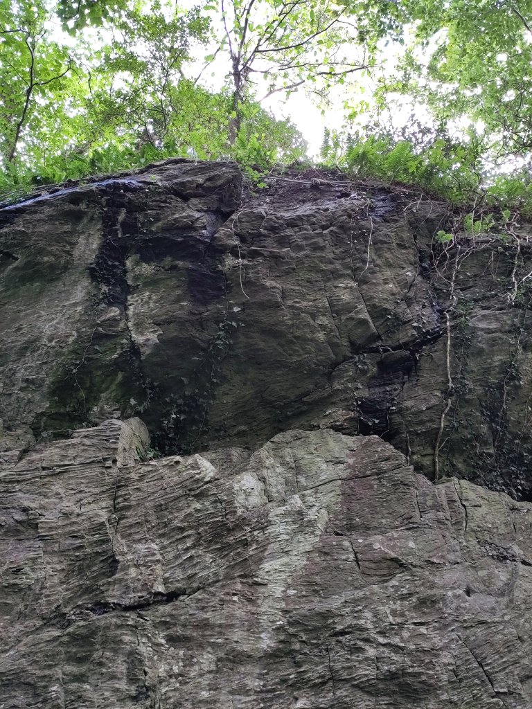
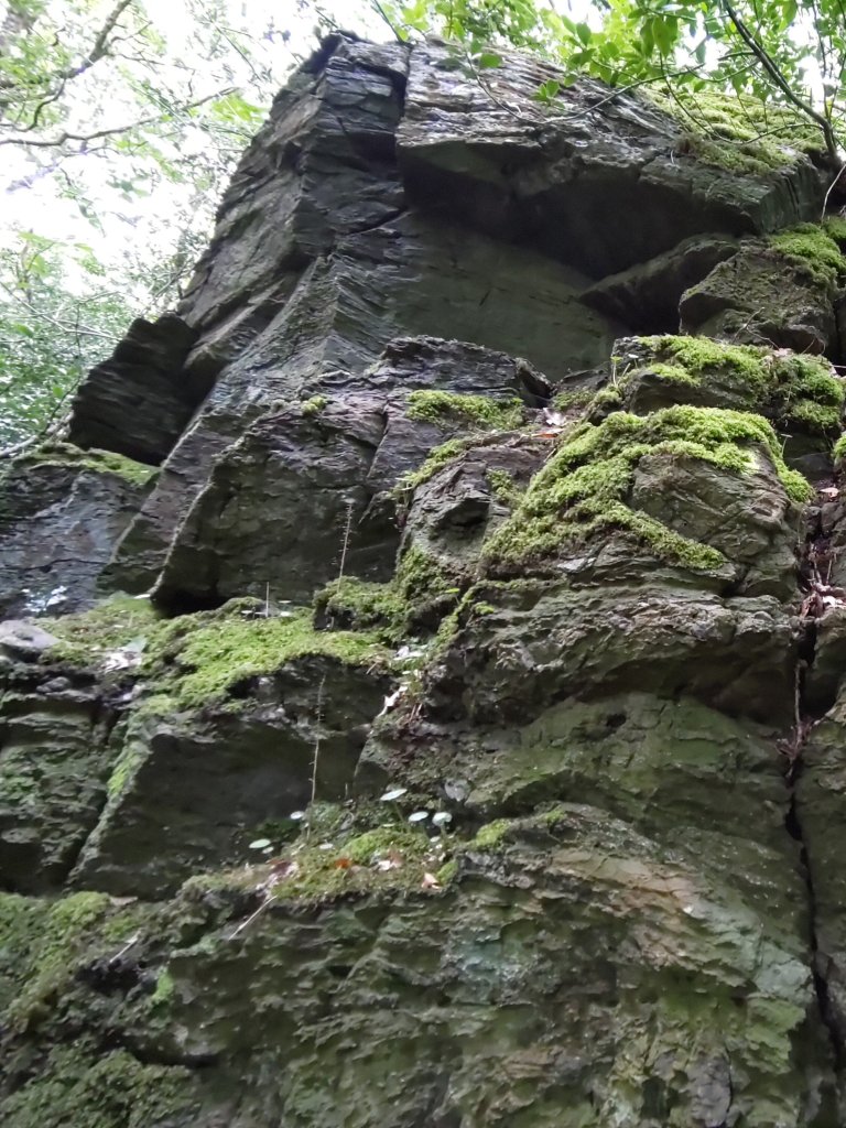
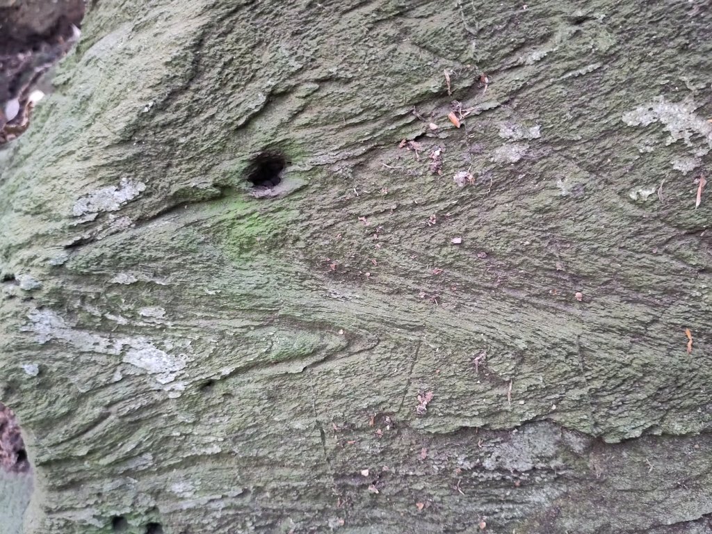
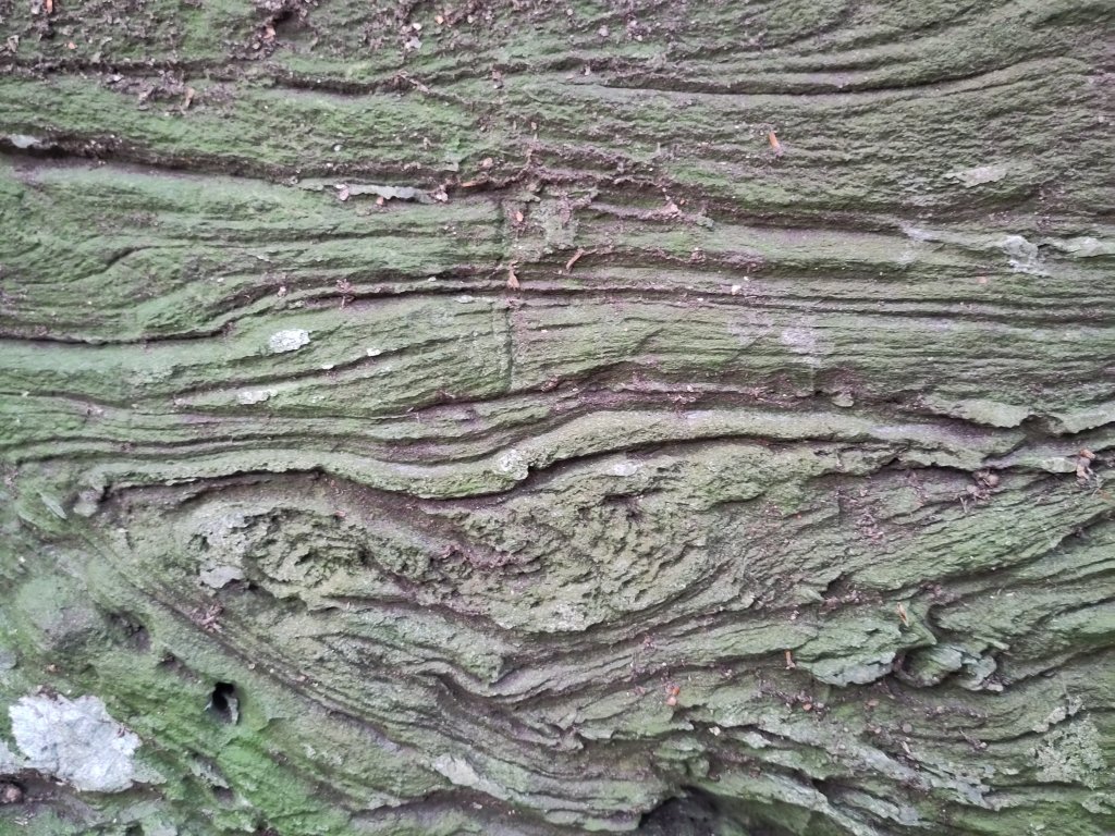
Saint Patrick’s rocks (my name :-), created by some of Britain’s oldest life forms.
Stromatolites (earliest bacteria to be photosynthetic – like modern plants) which formed these limestone rocks – just like modern corals do in shallow tropical waters today. Sadly a microscope is required to see the fossil bacteria and I left mine at home!
This represents one of the most revolutionary moments in the history of our planet.
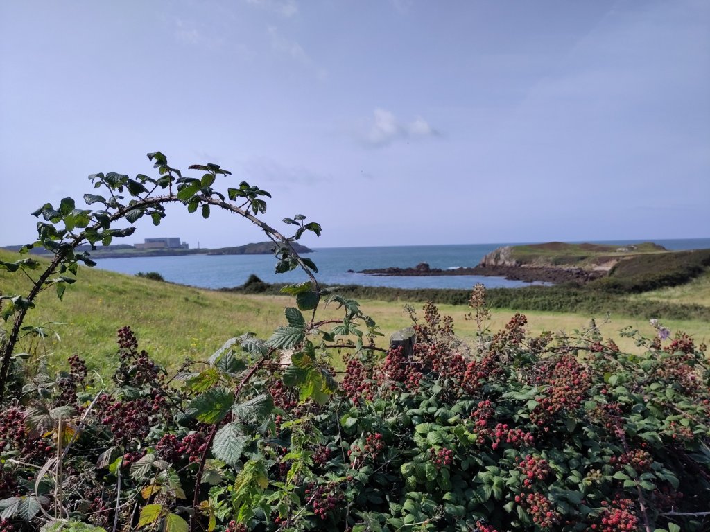
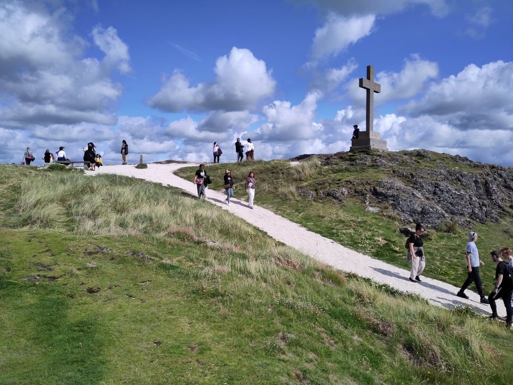
These were near a bench commemorating the spot that the Dalai Lama (allegedly – I haven’t fact checked this) declared was the most peaceful spot in the World.
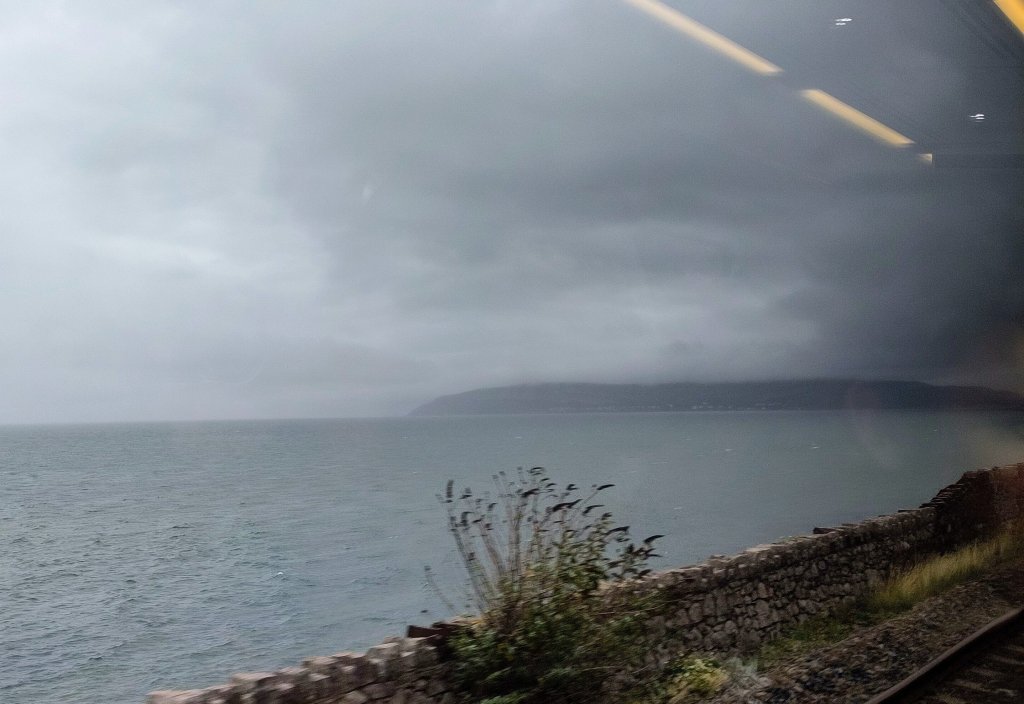
It is overlooked by one of Britain’s nuclear power stations, which dominates a nearby headland.
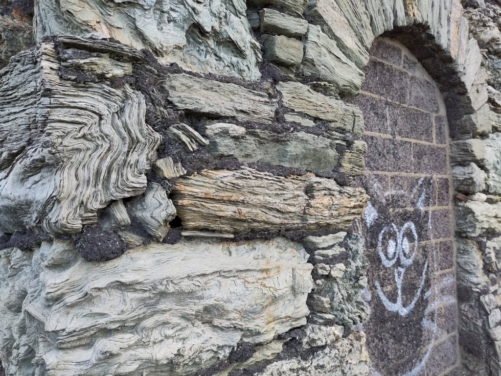
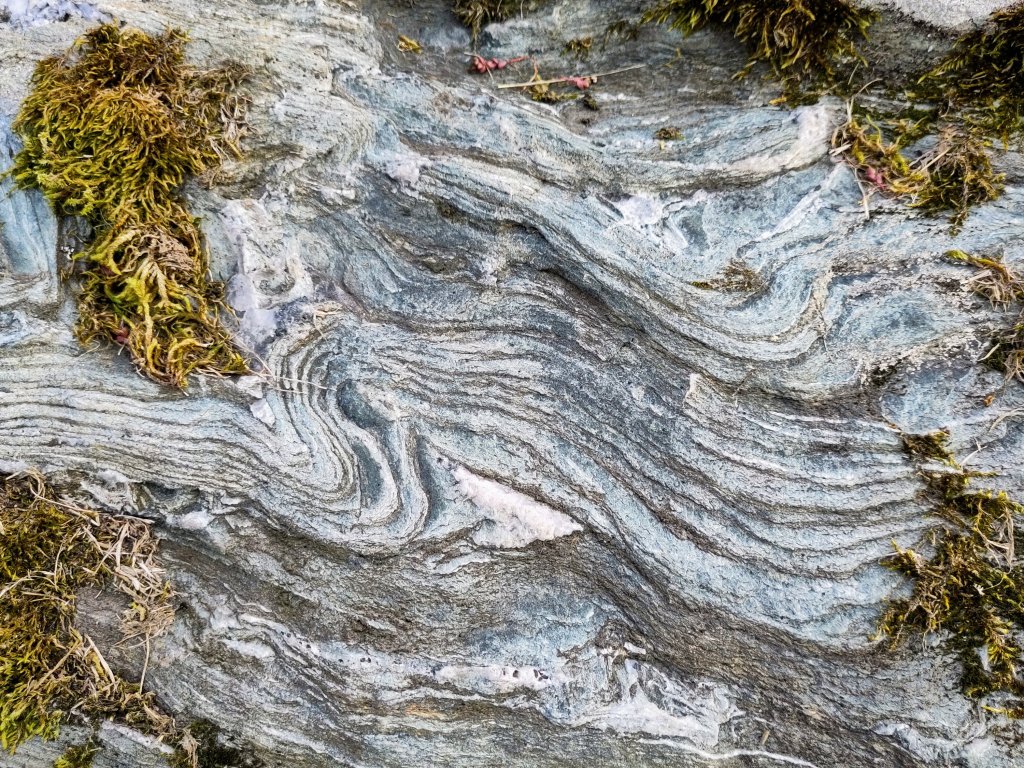
Then a quick dash to get to Holyhead’s ‘New Harbour’ before the last bus of the day. To see foliated New Harbour schist:
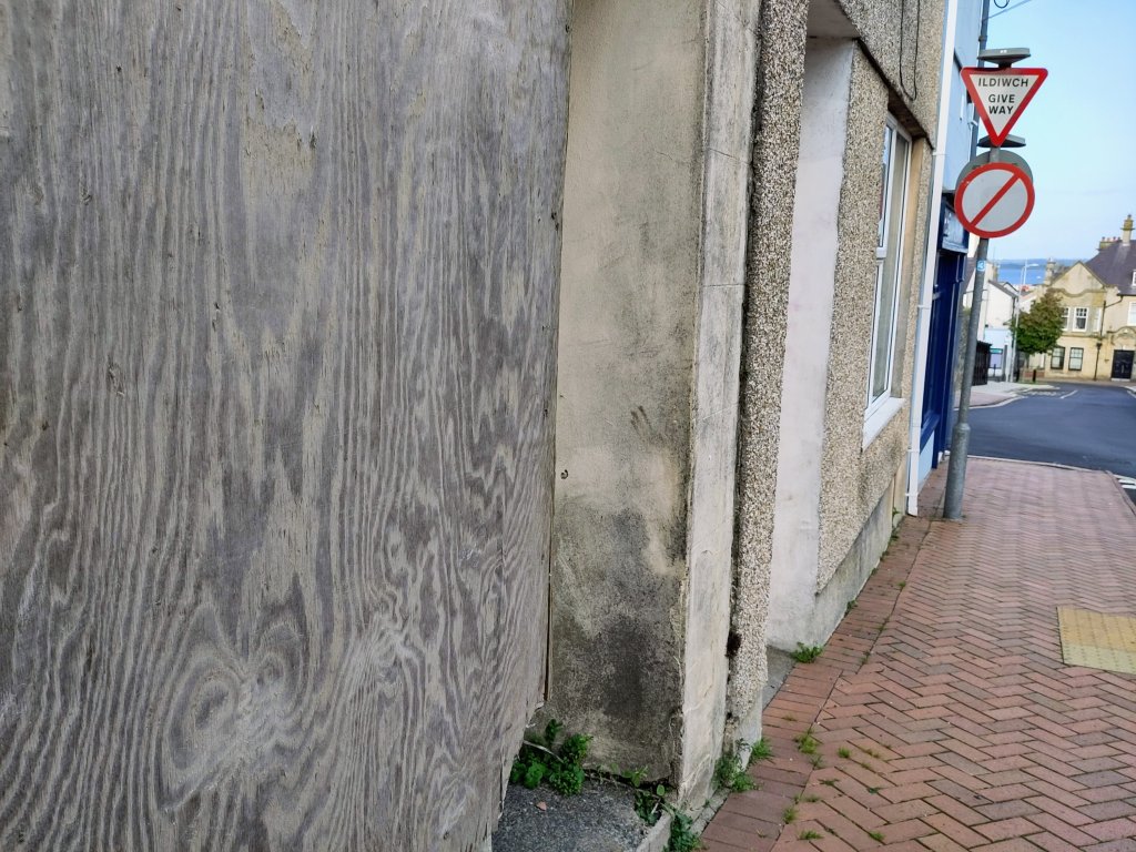
Graffiti cat on blocked up door in a wall constructed of New Harbour foliated schist rocks, Holyhead.Beautifully contorted New Harbour foliated schist rocks, Holyhead.Another blocked up doorway, made from slices through once living trees, Holyhead.
Life, Water and Plate Tectonics
Tomorrow, during my train journey home, I hope to share more controversial information on the links between rocks, water and life.
That plate tectonics has been essential to the maintenance of life on Earth has become generally accepted during the past couple of decades of this new century. The earth’s geological processes, driven by plate tectonics, enable a recycling of elements essential for life to exist.
Water is essential to plate tectonics, for it acts as a lubricant and lowers the melting point of basalt. Water is also essential to life.
As a biologist by training, with some physics, chemistry and biochemistry included, I have been increasingly aware that life does not merely passively react to its environment. It actively participates in bio-geo-chemical processes, especially in the water cycle…
I am alive – and I definitely affect the world around me – but I hope my contributions to change are generally positive (on balance 🙂
And thinking of balance – it is that time again! Nos da, bawb! (Good night, everybody!)
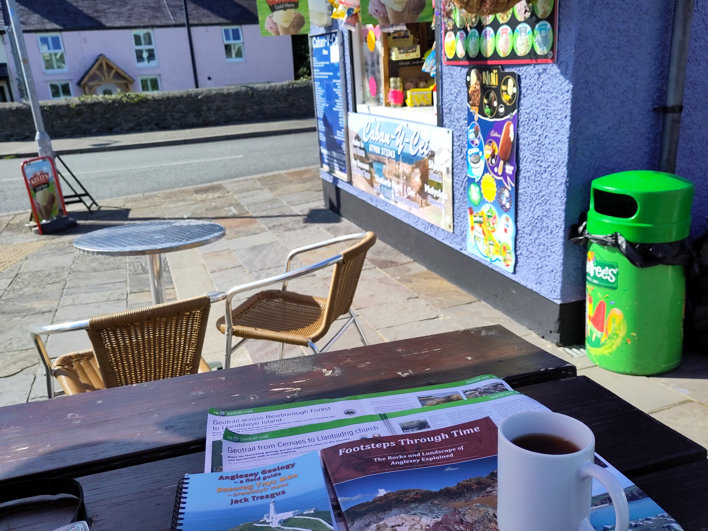
A struggle to make it out of my tent in time for *the* bus. My initial destination was brunch in Niwbwrch (Newbury).
After a delicious club sandwich, reviving coffee and an excellent set of instructions on how to get to my my destination I was off!
The beautiful forest was planted on top of a sand-dune. The grains of sand – a form of oxidized silicon – is relatively inert and hard. Therefore, thousands of years ago, when glaciers scoured the rocks between here, Northern Ireland and Scotland, the commonest surviving remnant of the crushed rocks was wind blown and water washed sand.
Pillow Lava
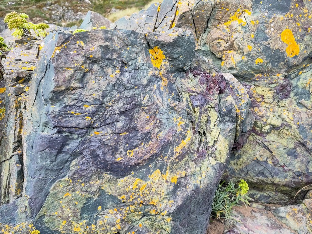
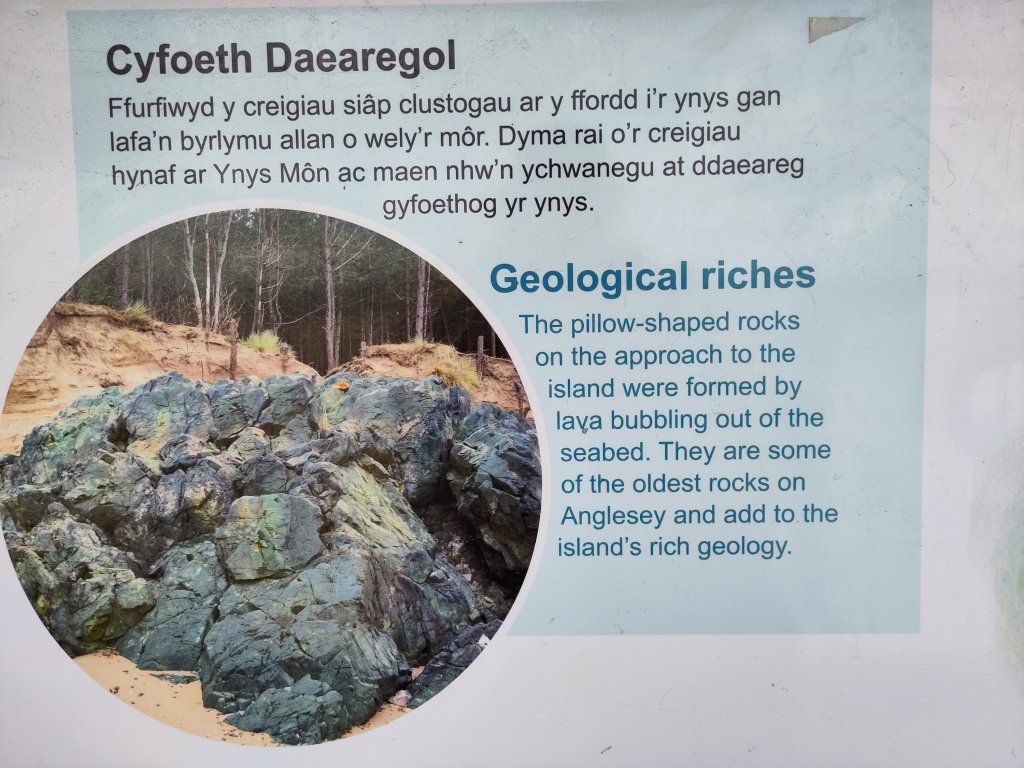
My first rocks were exactly what I hoped to find – great billows of solidified pillow lava. Easy to recognise 🙂 Proof of volcanic seabed activity, hundreds of millions of years ago.
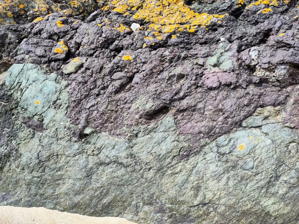
The outermost of the red-hot lava-flows, when they hit the cold seawater, they exploded into tiny fragments. The parent lava rock – basalt – is a dark green-ish colour. But the exploded ashy material has oxidized to a rusty red. The yellow colour on top is a lovely crusty little lichen that, more than half a billion years after the lava was first extruded out of the Earth, found itself a home on the edge of this sandy beach.
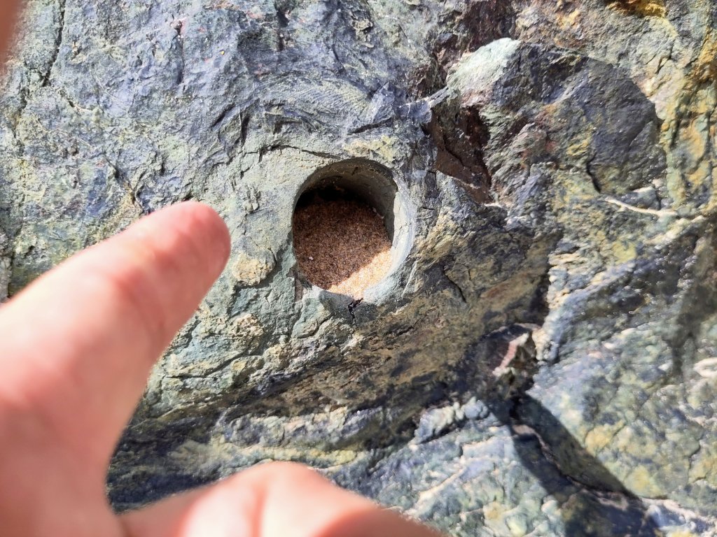
A perfectly circular hole in basaltic pillow lava.
How do I know that this lava is about 580 million years old? I could say that I read it in a book. But the authors read it in a scientific journal – probably published by the recent Japanese team of geologists who made an in depth study of Anglesey’s geology.
Japan is a series of volcanically active islands on the edge of the Pacific Ocean’s ring of fire. Some of Anglesey’s ancient geology has been observed as happening in present day Japan, such as the recent terrible earthquake which triggered an extremely destructive tsunami (tidal wave).
The hole above – and I saw a few of them on my geological travels – was made by a rock coring drill, by scientists needing to take samples back to their laboratory for dating.
Mélange
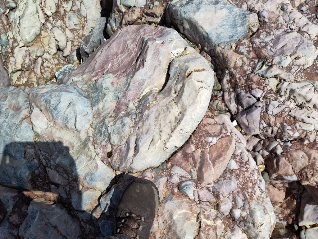
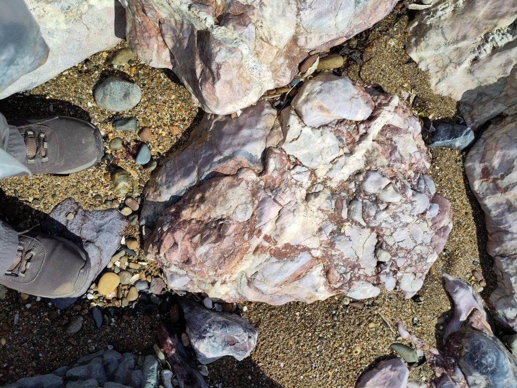
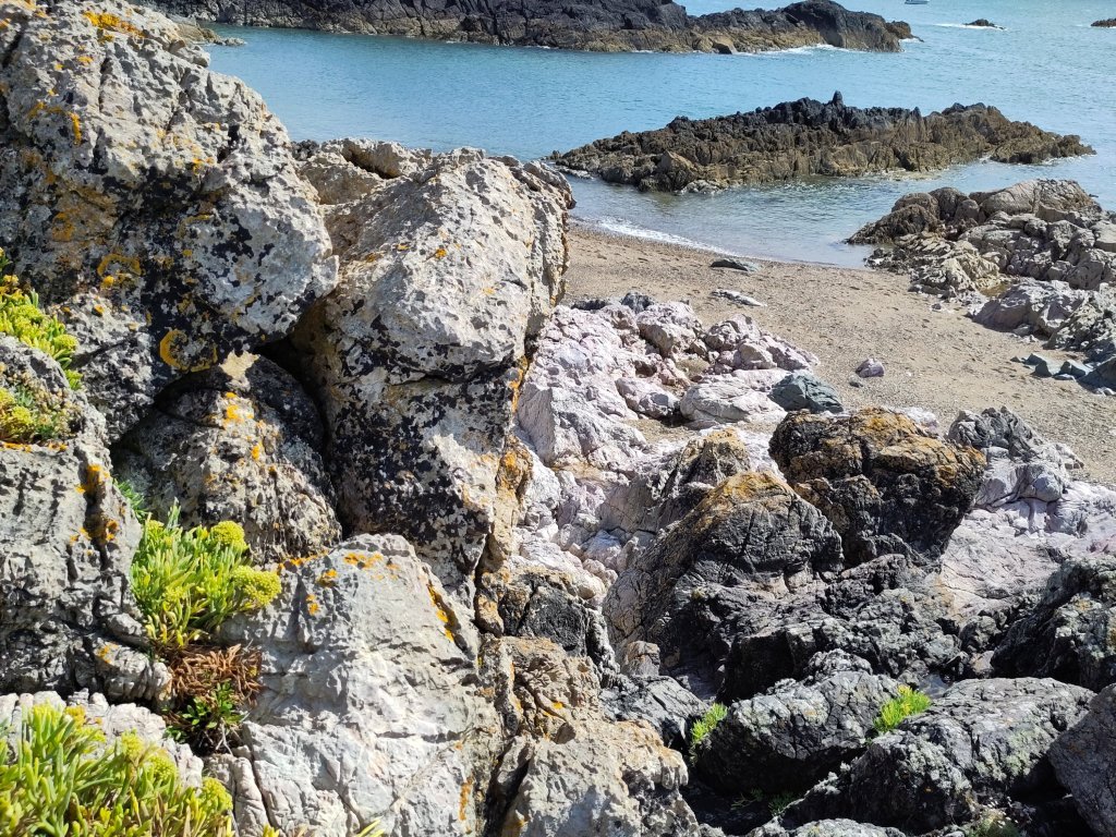
Mélange is found in the rocks behind the photographer!
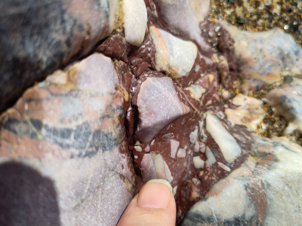
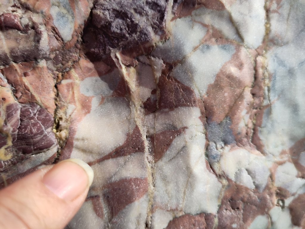
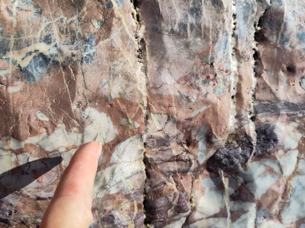
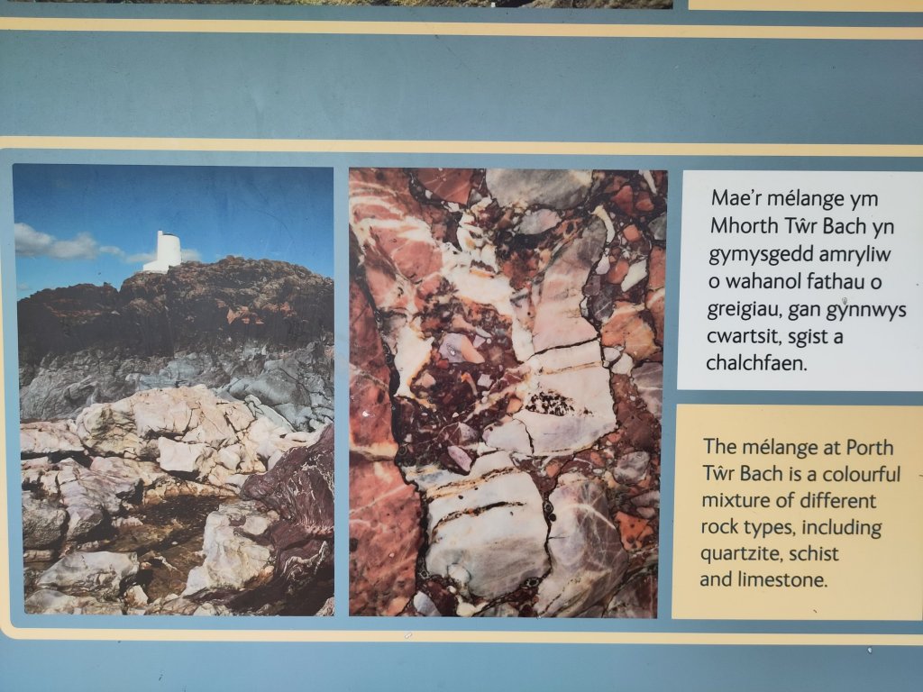
I love the word mélange. A random blend or mixture of rocks all stuck together like fruit and nuts in a Christmas Pudding 🙂
Breccia: a rock consisting of more than 30% poorly sorted, angular fragments (clasts) greater than 2mm in size (cf. conglomerate).
The angular nature of the inclusions indicates their being associated with a sudden catastrophic event such as a landslide, flash flood or tsunami.
Conglomerate: a sedimentary deposit containing more than 30% of rounded rock fragments (clasts) larger than 2mm in diameter (cf. breccia).
Often called pudding stone, with its inclusions having been rounded by the action of continuously moving water, such as a river or waves on a beach.
Mélange: a large body of rock comprising chaotically arranged rock fragments of varied sizes contained within a fine-grained matrix. It is formed from sediments and rocks on the oceanic crust that are underplated at a destructive plate margin (Llanddwyn and Cemaes Bay).
Mélange is therefore (if I’m right) a kind of breccia.
Destructive Plate Margins
Do you remember what I wrote in Ancient Geology 4.1: Wandering (In)Continents? How the blueschist rock under the Marquess of Anglesey’s Column was pillow lava that erupted from the centre of an ocean which then found itself on a sideways moving ‘conveyor belt’ as continual eruptions of new lava pushed the old lava sideways till it had nowhere to go – when it met a continental plate – except downwards.
Why downwards? Basalt – what oceanic crust is mostly made of – is heavier than most continental rocks – whose parent is largely made of granite, which is less dense. Imagine oil floating on water. The oceanic crust is heavier than the continental crust, so it sinks downwards, back towards the centre of the Earth. This is called subduction. It happens at a destructive plate margin.
[Edit: I now know that the reality is a little more complex – but I think that what I wrote is close enough not to need rewriting.]
Mélange Constituents
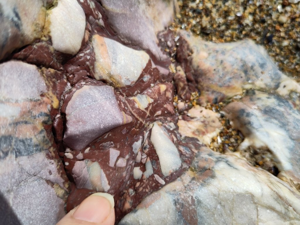
Jasper
The ocean floor is covered in all sorts of other stuff. When it is near dry land, fine grains of sand can be eroded by ice; and the wind can blow them out to sea, and rain can form rivers which can also wash sand out to sea.
There is often iron present in sand – which gives it a nice orange colour. However, when sand meets very, very hot lava it can vitrify – turning into a glass like substance called chert or chalcedony. In the presence of iron it can become a beautiful bright red coloured stone.
Other rock fragments include limestone, of which more in part 8 [to be written Tues or Weds 🙂 ].
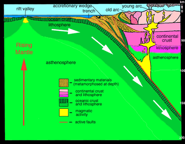
I like Wikipedia and I like diagrams. The diagrams in books about Anglesey were somewhat confusing. But I begin to imagine that I understand thanks to Wikipedia 🙂
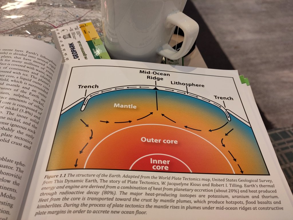
Ok, the lithosphere is the outermost bit of the Earth which is solid. The top-most part of it shown on the left side of the above diagram is the oceanic crust, heading towards and then below the continental crust, shown on the right. Where they meet, on the ocean side is a trench, but on the continental side of the trench is a wedge of material, called here, the accretionary prism.
The frictional forces at the entrance to the subduction zone cause the layers of the oceanic crust to delaminate. I read (somewhere!), in relation to the formation of blueschist, that the prism contains material arranged like a cascade of regularly falling dominos. The actuality, it seems to me, is that one should imagine all the dominos initially all lying flat, and that friction at the entrance to the subduction zone pushed them upwards.
The accretionary wedge/prism concept explains why it is hard to understand on the ground. It is a geological mess, an absolute Mélange. But a pretty one all the same.
What Next
I deliberately missed out the limestone and marble formations I saw on Llanddwyn – I am saving them for the write up of Tuesday’s outing – which I may not write up till my return journey on Wednesday.
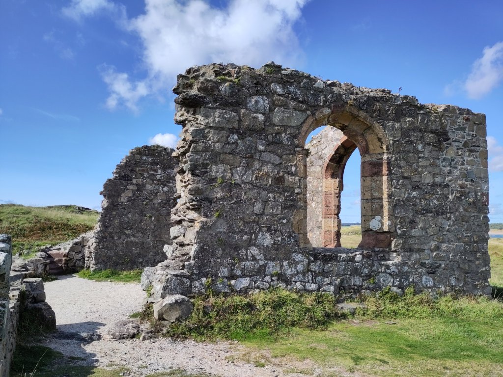
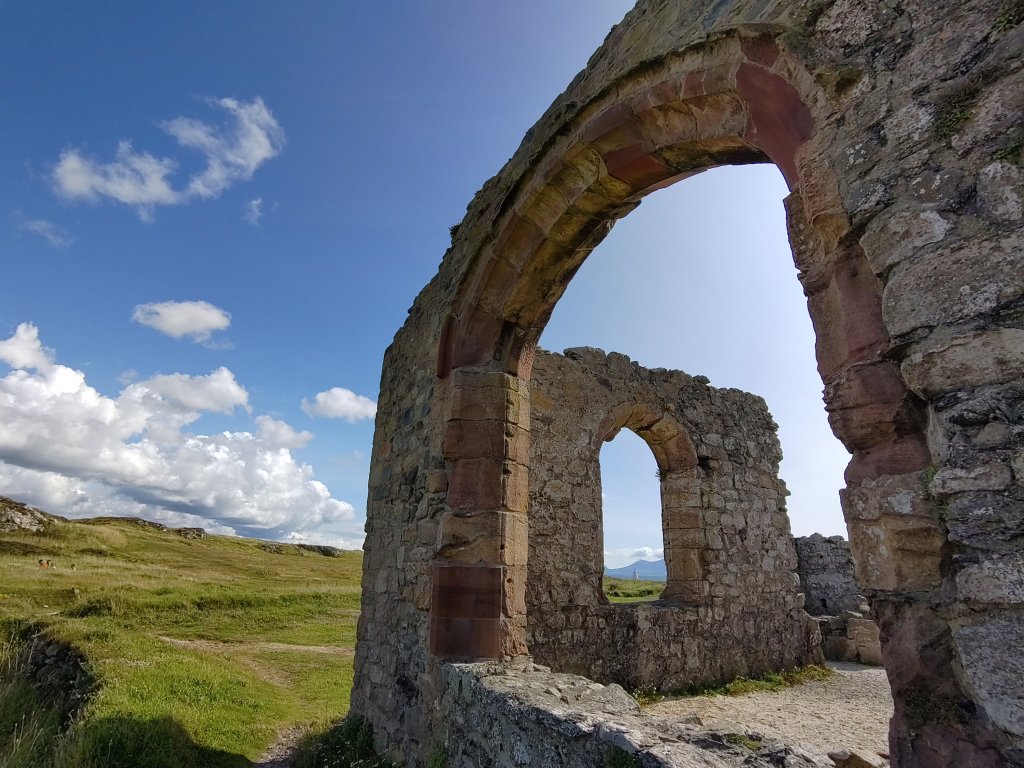
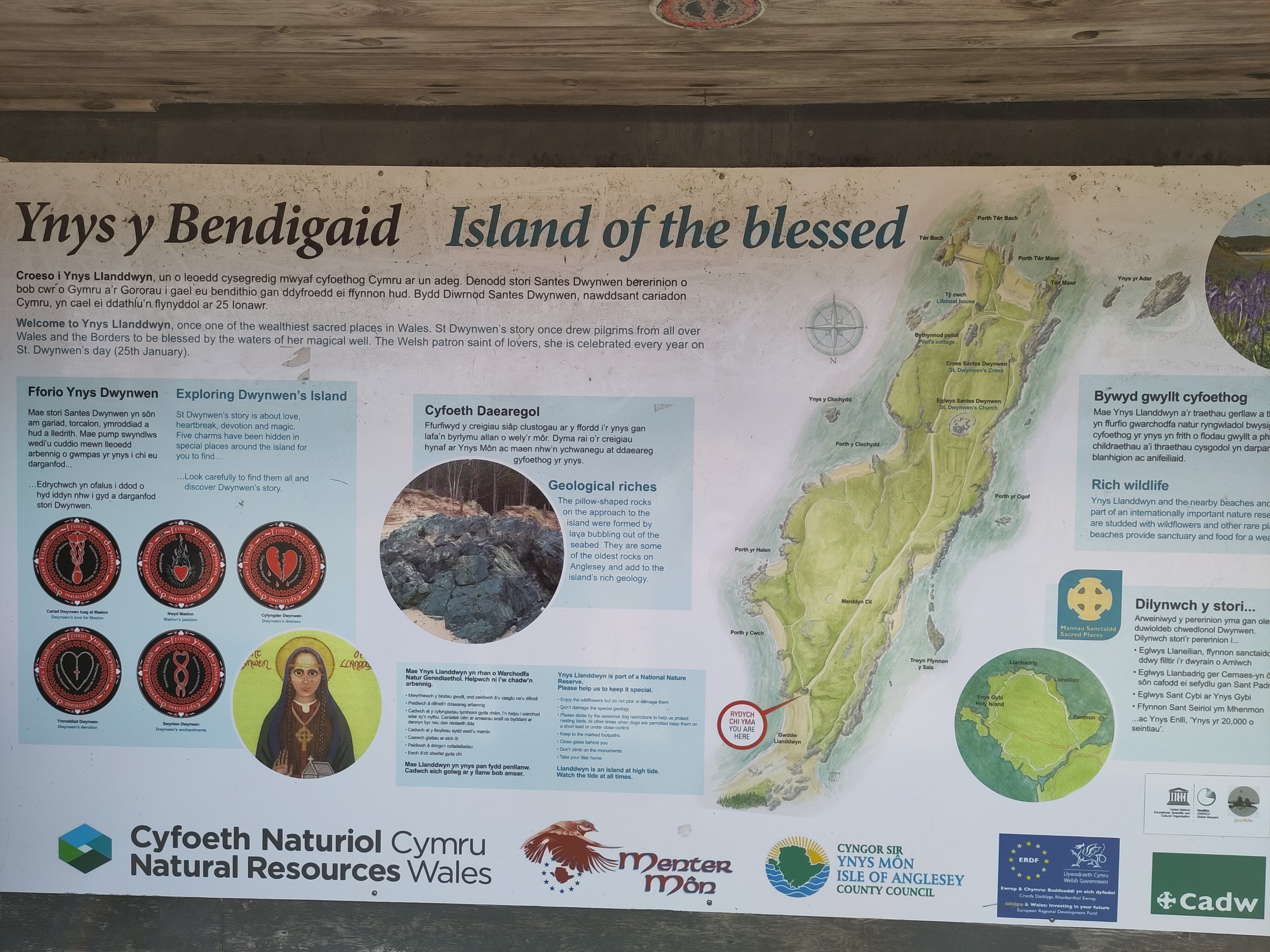
The Blessed Isle
Saint Dwynwen, a story of love, heartbreak, devotion and magic.
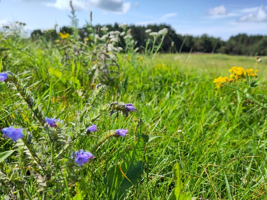
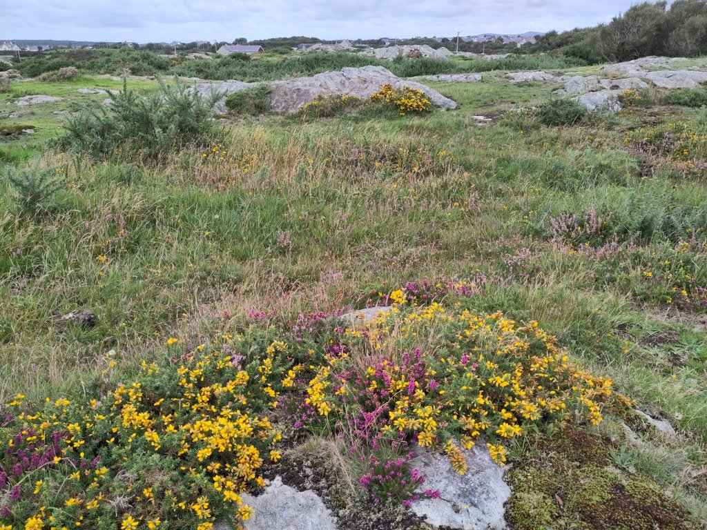
Another difficult start (my body wasn’t happy at first) but it ended well. An early-ish start because buses on a Sunday are limited, and a rush at the end to catch the last transport of the day. However some beautiful but confusing rocks in the middle – and some very pretty flowers 🙂
I remembered to bring my walking pole today. Yesterday my knees didn’t want to raise me to the vertical every time I sat, knelt or crouched down to photograph an exciting rock. It doesn’t help that my main geology book weighs quite a bit! A single walking pole works for me best if I am doing more than just walking.
Today’s rocks were a lot more challenging to find and understand which meant that for the second day in a row I don’t have the time to tell you about the exciting details of today’s or yesterday’s adventures.
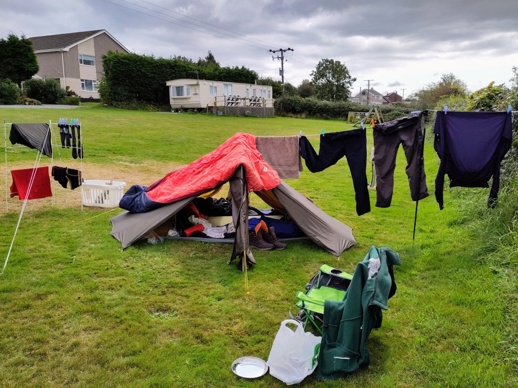
However, tomorrow I will take a holiday (from looking for new rocks). Fortunately it is a Bank Holiday Monday, so buses don’t run to my next destination – a tropical desert island – till Tuesday (all will be revealed)! Yes, Monday is wash-day, so I plan to do my laundry 🙂
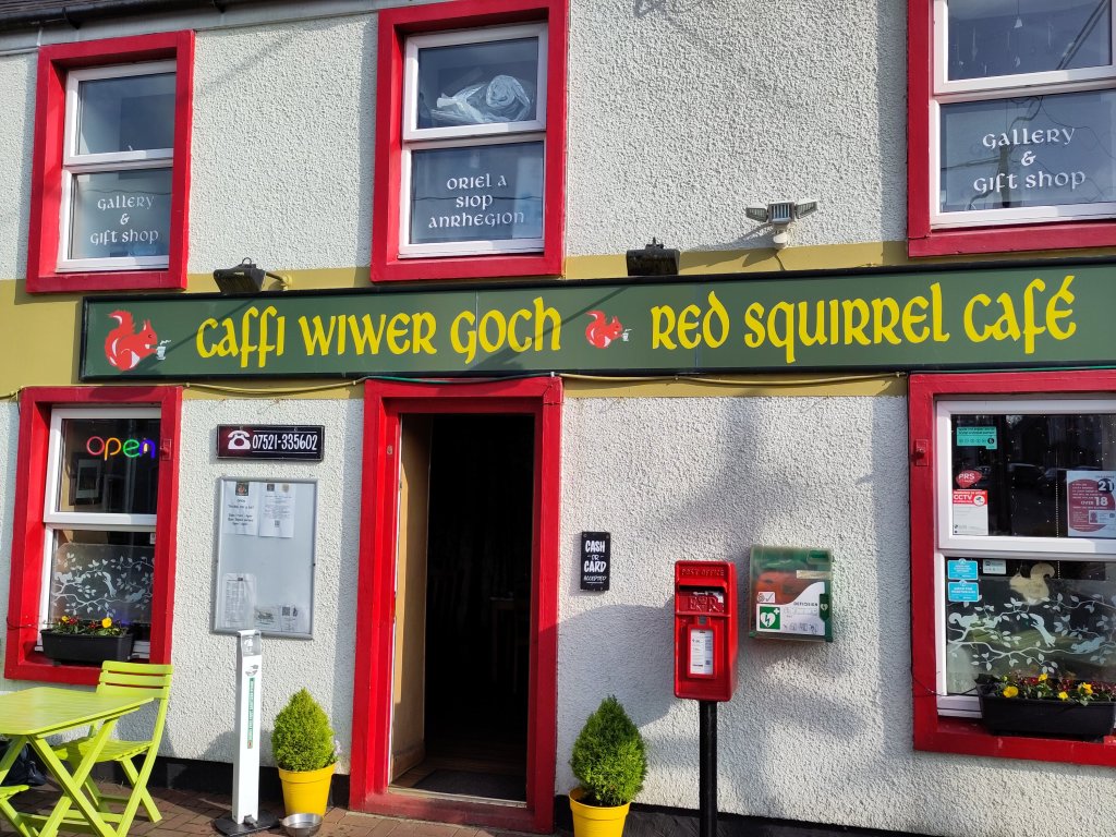
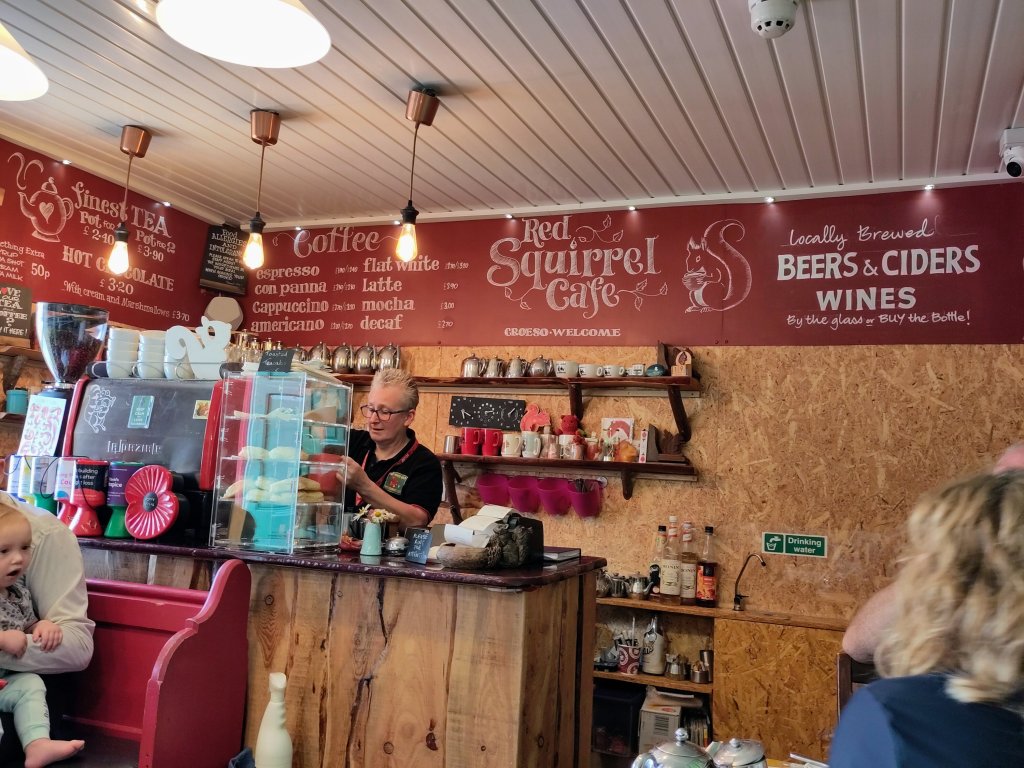
I also plan to catch up with reading, understanding and sharing with you some of the incredible stories that the rocks I have already found have to tell. Also I hope to share some of the adventures involved in finding the rocks, such as yesterday’s discovery of the wonderful Caffi Wiwer Goch (Red Squirrel Cafe). I also need to charge my big portable usb battery. It takes a long time to recharge, but once charged it will easily keep my phone going till I leave on Wednesday. A lot of my research, navigation (including the somewhat challenging Welsh public transport), my photography, this blog, and my audiobook entertainment, all happens on my mobile phone – which uses lots of battery.
In future I think that I may work best with 1 day exciting adventure, 1 day ‘holiday’ at the campsite. Allowing my mind and body to catch up is important 🙂
An exhausting day. Down, then up, then wow, then exhausted legs, then more wow. Then planning for the morning and then… Nos da, bawb! (Good night, everybody!)
I will hopefully find time to tell you all about it tomorrow 🙂
The Marquess of AngleseyAnd his blueschist foundations
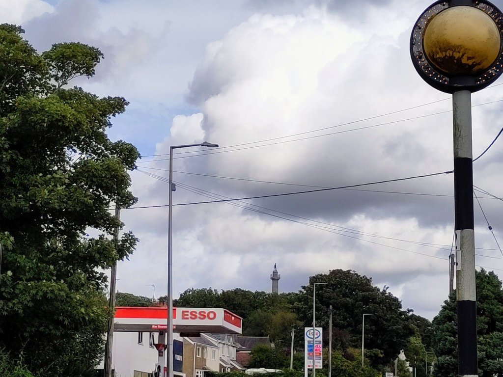
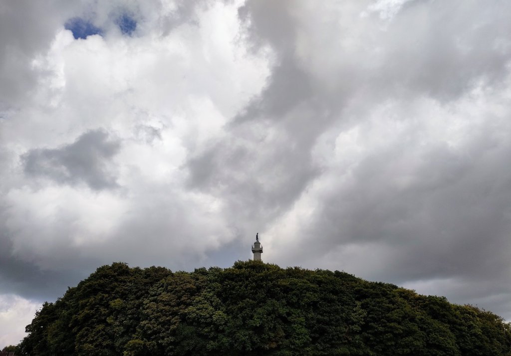
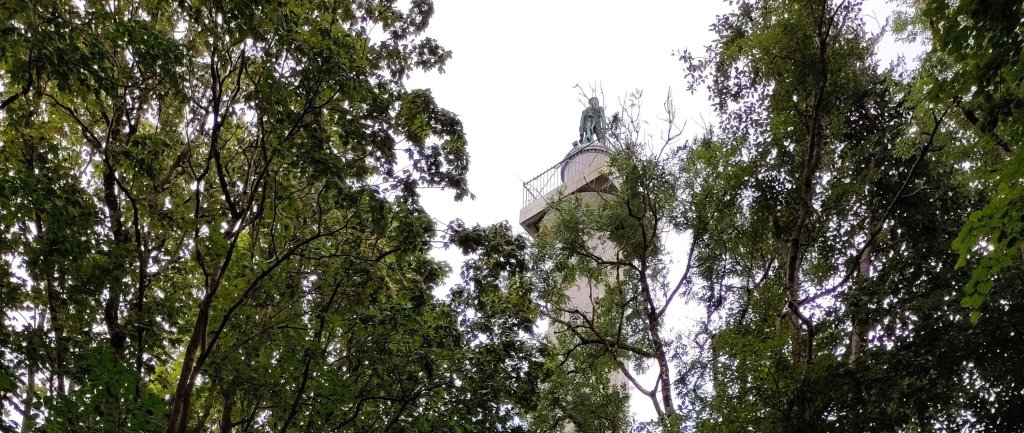
The Marquess of Anglesey was someone famous in the Battle of Waterloo. More importantly for our story his monument was built on a prominent exposure of blueschist rock.
In my previous post I told of my new-found understanding of its formation. How it originated as a fine grained rock called basalt that forms when lava erupts under the sea and cools very quickly. Then I told how such basalt rock on the ocean bed can be pushed sideways until it gets pushed down under a continental plate in a process known as subduction.
As it gets pushed down it is subjected to pressures higher than I can easily imagine. But, if at a depth of about 35 kilometres (less than 1% of the distance to the centre of the Earth!) it was thrust upward due to volcanic forces and/or earthquakes, before it had a chance to actually melt, then, over the course of millions of years, it would appear on the surface, metamorphosed into blueschist.
The fact that this particular outcrop of blueschist happens to be one of the oldest examples in the world is why geologists get excited about it. However, my interest is not that it has been dated to up to 590 million years ago, the Precambrian era. It is that an understanding of how it was formed only became possible with the concept of plate tectonics.
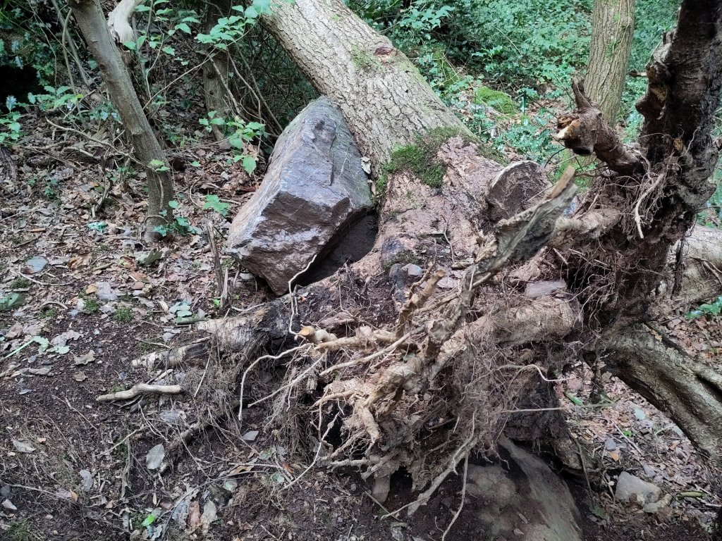
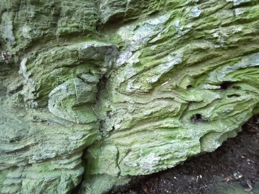
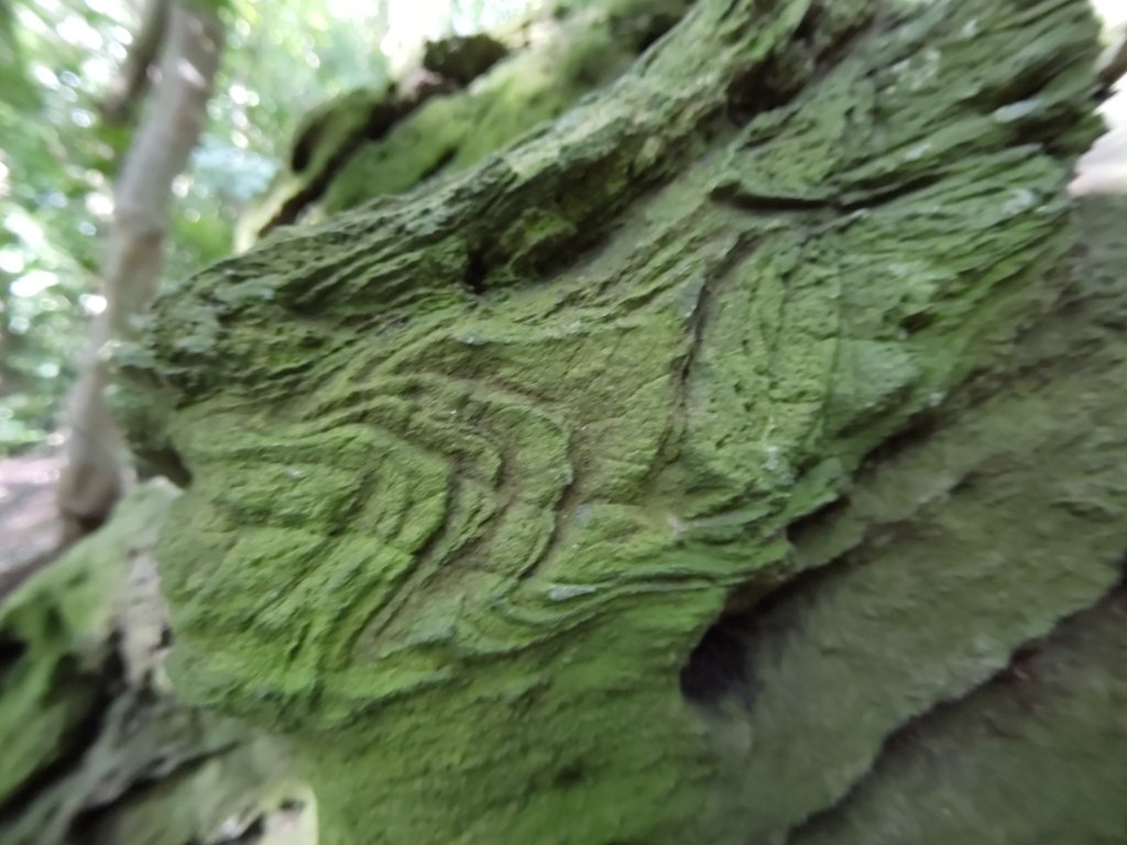
The green colour is due to moss and algae, but a fresh break near the top reveals its blue colour A fallen tree reveals a boulder of weathered blueschist Some geologists think that these swirling patterns are remnants of the original folds of the basalt pillow lava from which they originatedNot being a proper geologist I like to think I can see the frozen forms of solidified demons and monsters, or perhaps weirdly contorted plant-like forms.
However this may be, it is a truly remarkable type of rock. It was recognised as something special by the earliest prehistoric peoples to build their burial chambers out of stone. I had planned to visit the Plas Newydd Burial Chamber, and the even more spectacular Bryn Celli Ddu. Both are within a few short miles of the Marquess’s Column. They will have to wait for another visit…
Nos da, bawb! (Good night, everybody!)
P.s. tomorrow I might see more pillow lava further up the coast 🙂
p.p.s. At the time of writing I was confused about the differences between tectonic plates and oceanic and continental crust. I leave it as an exercise for my readers to discover where I went wrong.
Taking it easy today. Looking after myself after an unfortunate (dicky tummy doesn’t do it justice) accident in the early hours of the morning.
After a detour to visit 2 local pharmacies for suitable medications I felt brave enough to head for the rocks which form the foundations of the Marquess of Anglesey’s Column.
Blueschist!
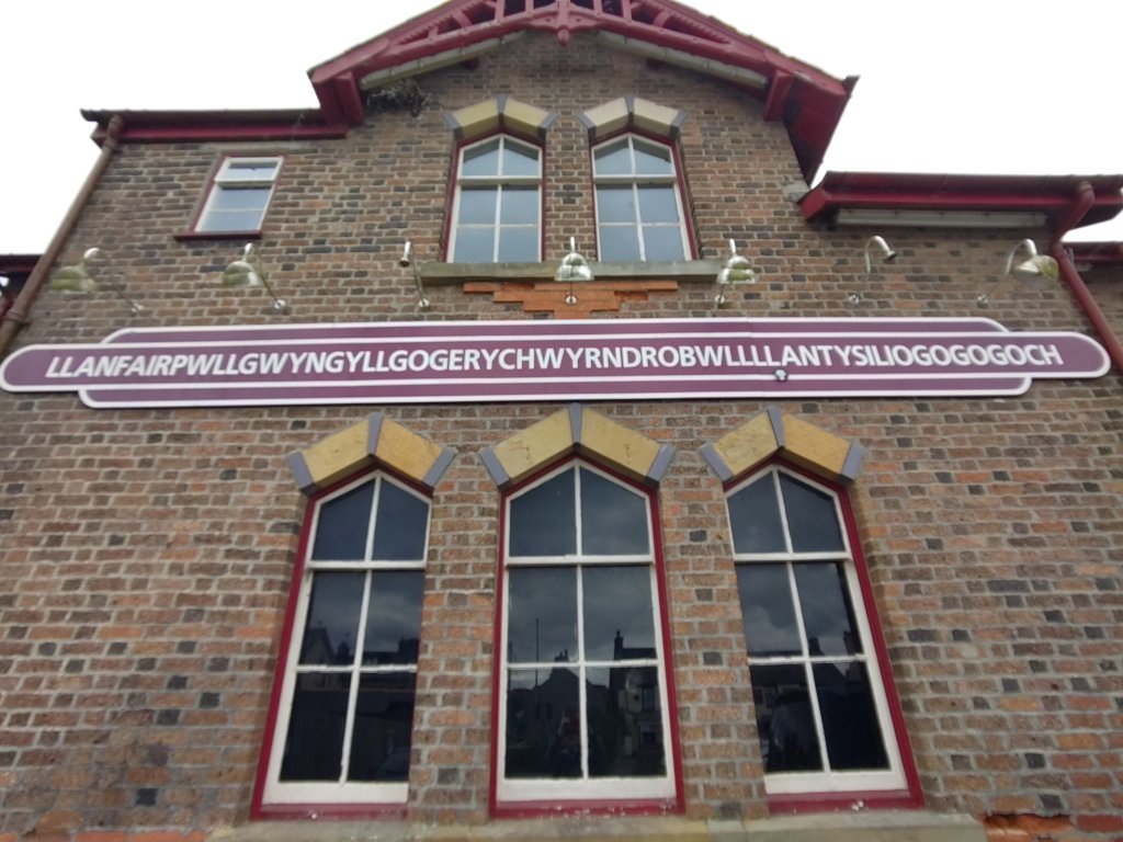
Not an Anglo Saxon euphemism for my condition. It is the type of rock I hope to find once I have finished my lunch (veg soup & a roll with a large peppermint tea). The nearest toilets were near a famous railway station.
Luckily locals just call it Llanfair P G!
But First The Science Bit
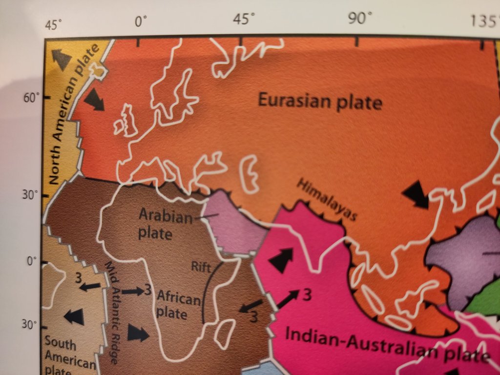
Ever since the first accurate maps of the Atlantic coasts of Africa and South America people have noted that the two continents appear to fit. However a coherent explanation why (how come) was only developed during the 60’s and 70’s.
Continental Plates
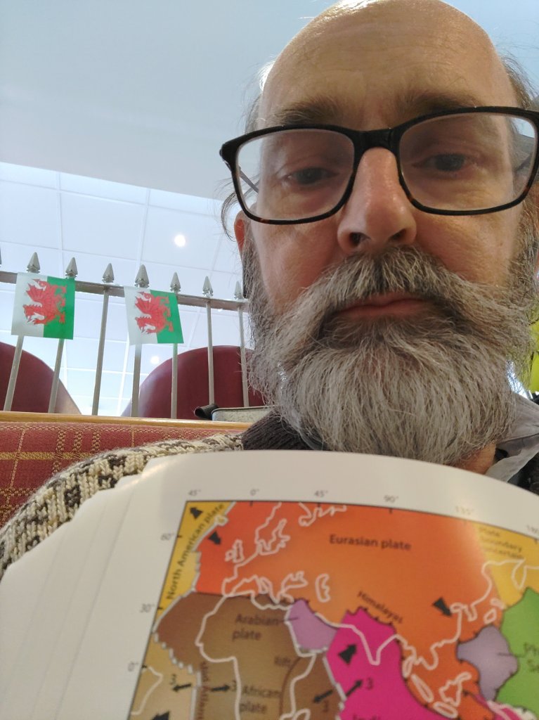
The ‘Footsteps Through Time’ book (my bible for this adventure) is the most up-to-date and detailed guide to Anglesey’s geology. However, since the most recent geological research was done by a Japanese team, most of the diagrams are centred on Japan and the Pacific, not the Atlantic. I leave it as an exercise for a reader to find a nice map of the Atlantic.
Try to find one that shows the Mid-Atlantic Ridge. It is hidden so deep down that submersible craft only managed to visit it after we had landed people on the Moon.
Pangaea
335 million years ago, during the days of the swampy Carboniferous Era, when great layers of coal were formed, a supercontinent came together called Pangaea. It only started breaking up a little over a hundred million years later, just as the first dinosaurs started turning up.
Mid-Ocean Ridges
This break-up separated Africa from South America and Europe from North America. And thus, the Atlantic Ocean was born.
I like to imagine that the Mid-Atlantic Ridge is a sort of giant linear crack which separates these continents. Boiling hot lava is being pushed upwards through this crack like toothpaste squeezed out of a tube.
Great quantities of lava billowed out from the centre of the earth, forming shapes like great overstuffed blobby pillows. As it hit the cold water it instantly solidified leaving no time for crystals to form. Such lava rocks are generally of a type called basalt.
Now imagine that this process is like two great conveyor belts. The solidified lava gets pushed sideways, in opposite directions, by new molten lava being squeezed out of the central crack in the middle of the Atlantic. The Atlantic expands.
But there are other mid-ocean ridges, such as the one in the Pacific Ocean. It too is pushing new oceanic crust sideways. What happens when they meet?
They could both push each other upwards, causing the Earth to inflate – forming great mountain belts – but this theory was rejected for a better idea.
The edges of these tectonic plates were pushed down – subducted.
As the basaltic pillow lava gets pushed downwards, sometimes other types of forces get involved. Volcanics and earthquakes can, over millions of years, push rocks from deep down – up to the surface.
Remember I said I want to see blueschist? This was basaltic pillow lava, forced by subduction, 35 km underground. At this depth the pressures are supposed to be enormous!! But the temperatures are not hot enough to completely melt it. It transforms – it becomes a beautiful blue-coloured metamorphic rock – like a caterpillar becoming a butterfly.
However, time – my time measured in hours – just like geological time – is moving on. I just hope after all this exciting build up I can actually find it 🙂
P.s. Fortunately my insides feel much less volcanic.
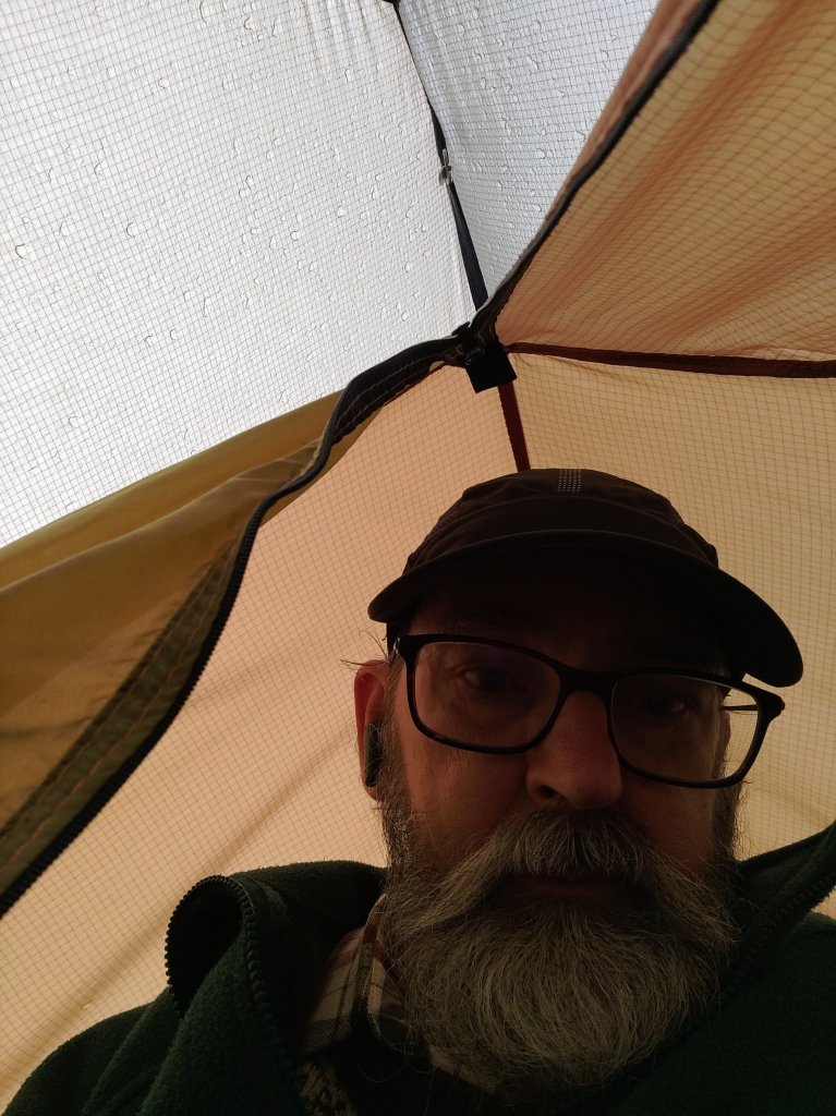
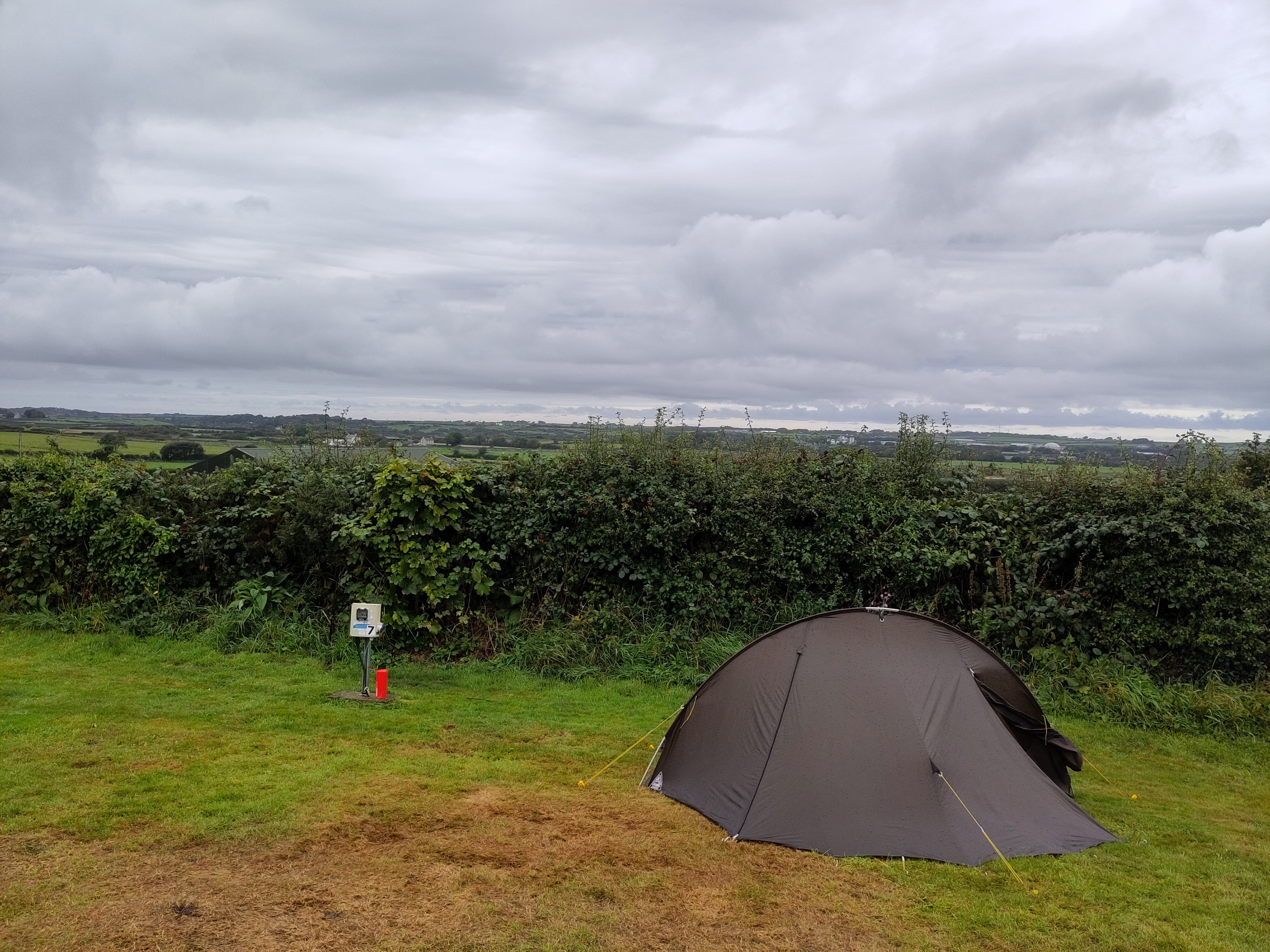
My first research result of the day was that I had survived my epic journey and that I was surprised to discover that I still love camping! There was light rain on and off during the night – but it is supposed to rain when camping in Wales 🙂
By the time I had my head out the wet entrance to my tent it had stopped raining and there were breaks in the clouds. The temperature was mild and I had remembered to check my boots for any slugs or other beasties before putting them on 🙂
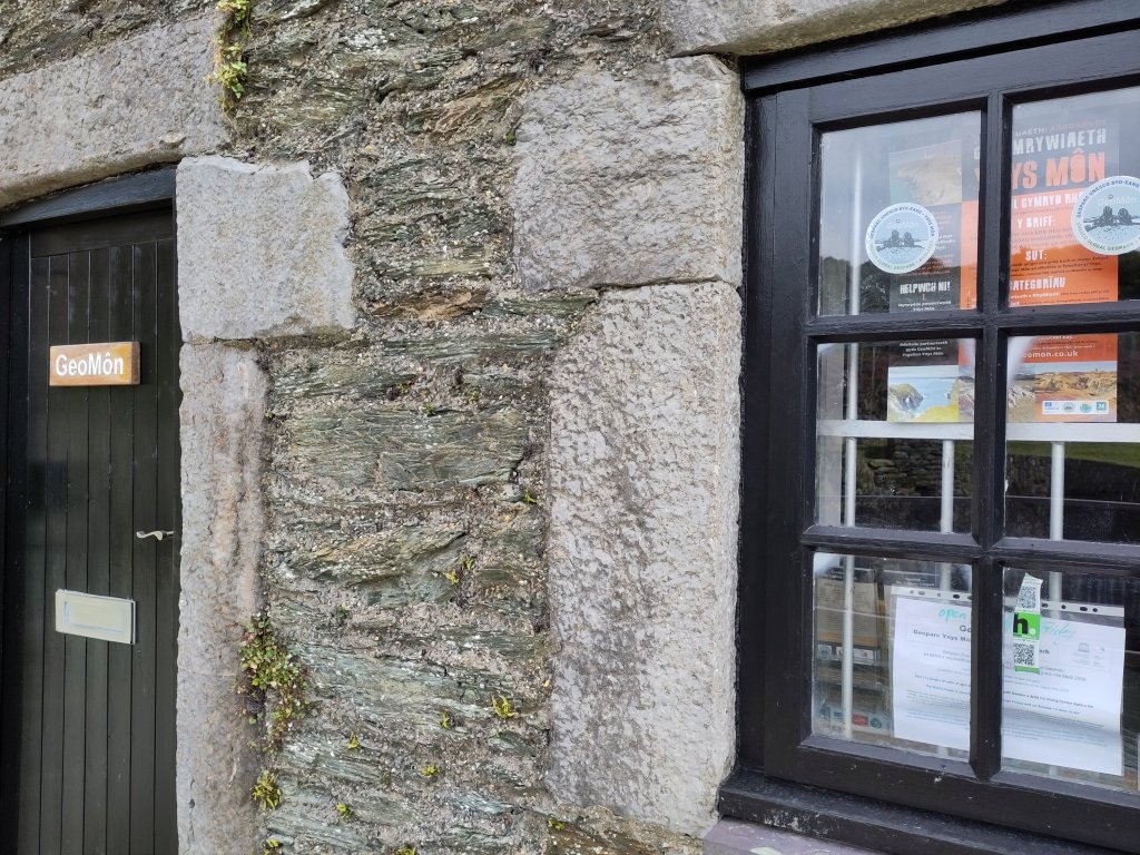
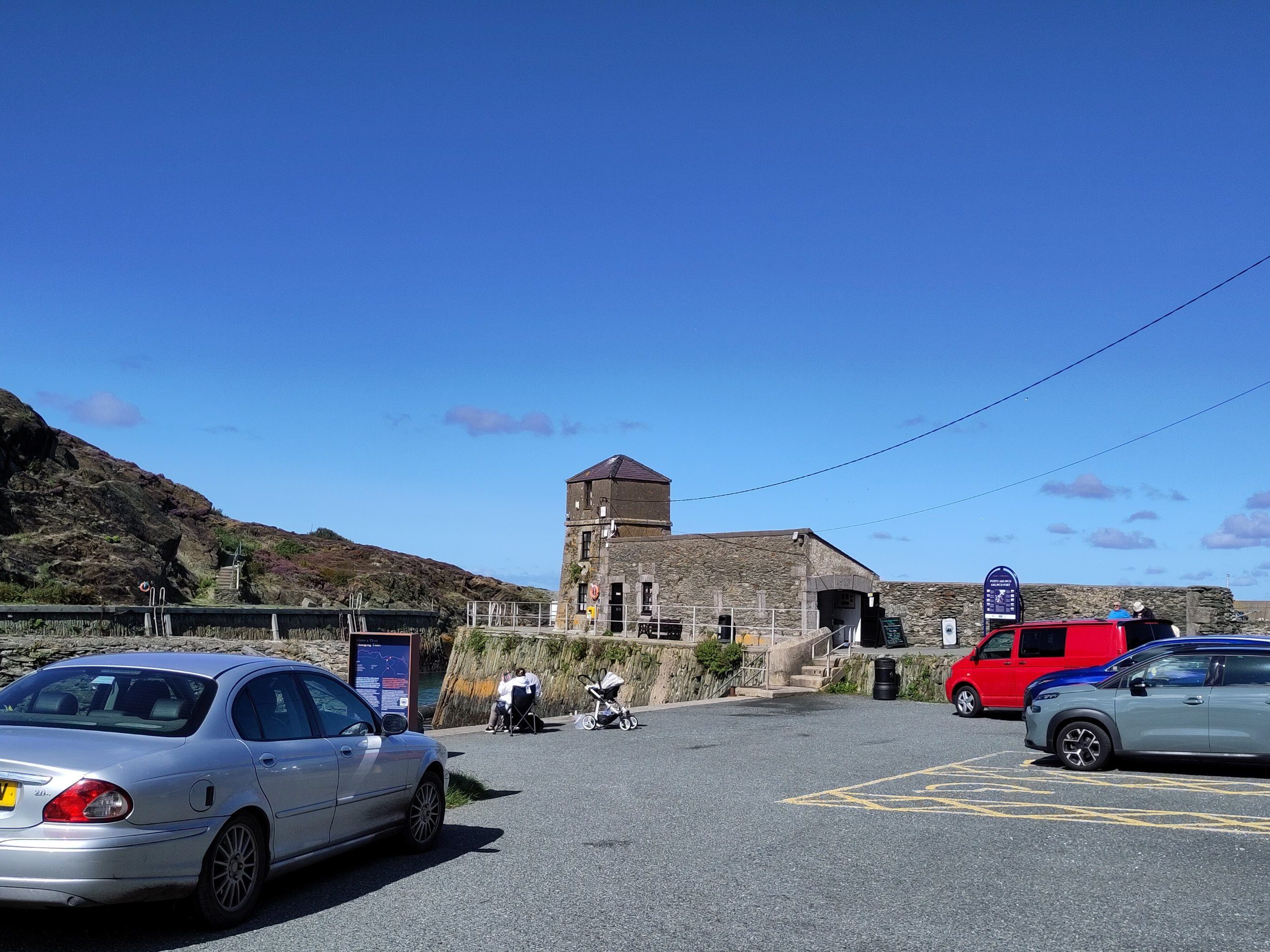
This was my destination for the day. It houses an incredibly well researched and displayed collection of rocks and information boards, of interest to even the most casual of visitors. Entirely run by volunteers, it is well worth a visit – and your money. I bought a lot of books and other literature, as well as some beautiful cards.
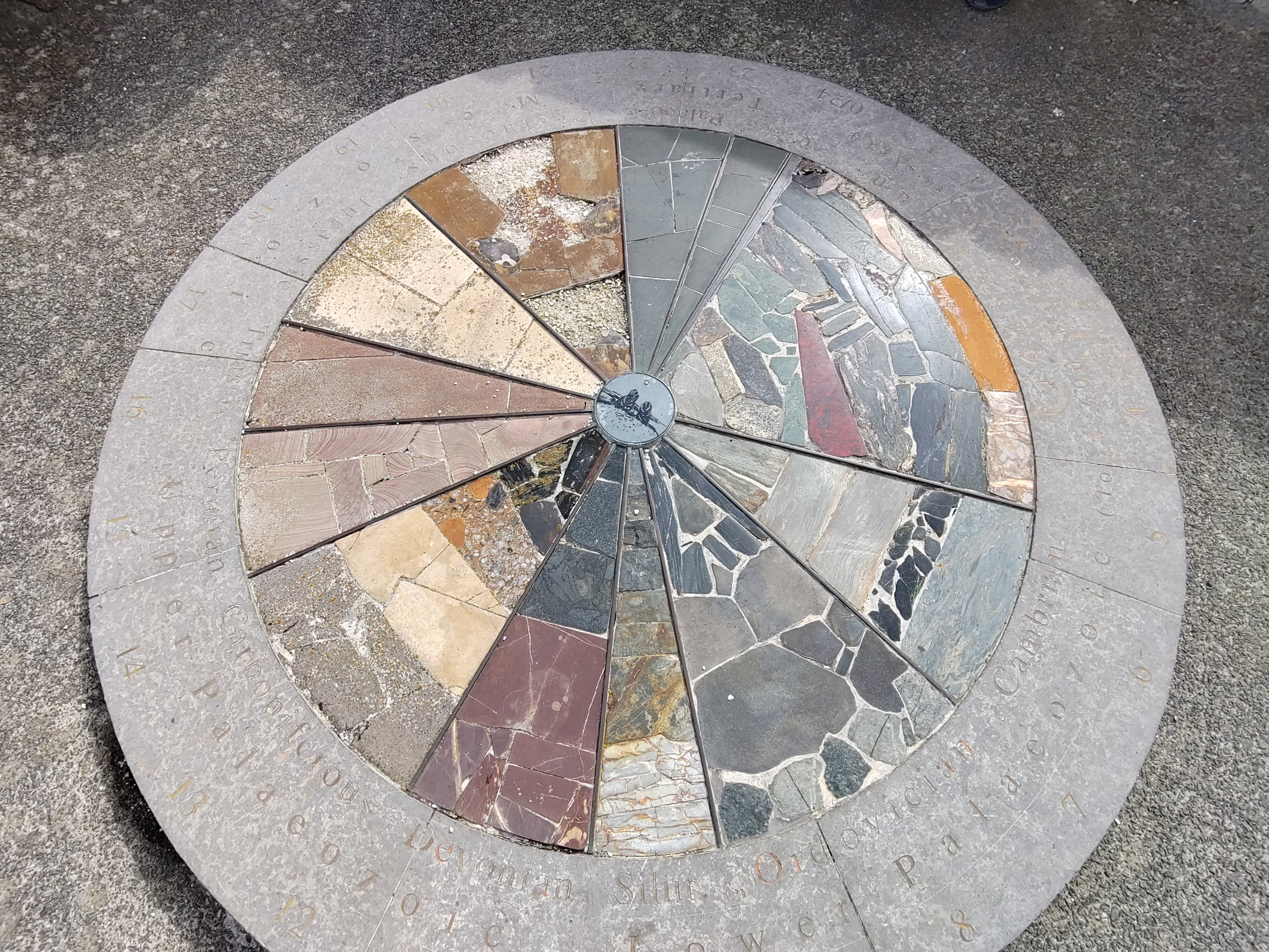
Needless to say there was nothing casual about my visit! My first discovery was a geological time-clock on the terrace outside of the museum….
…
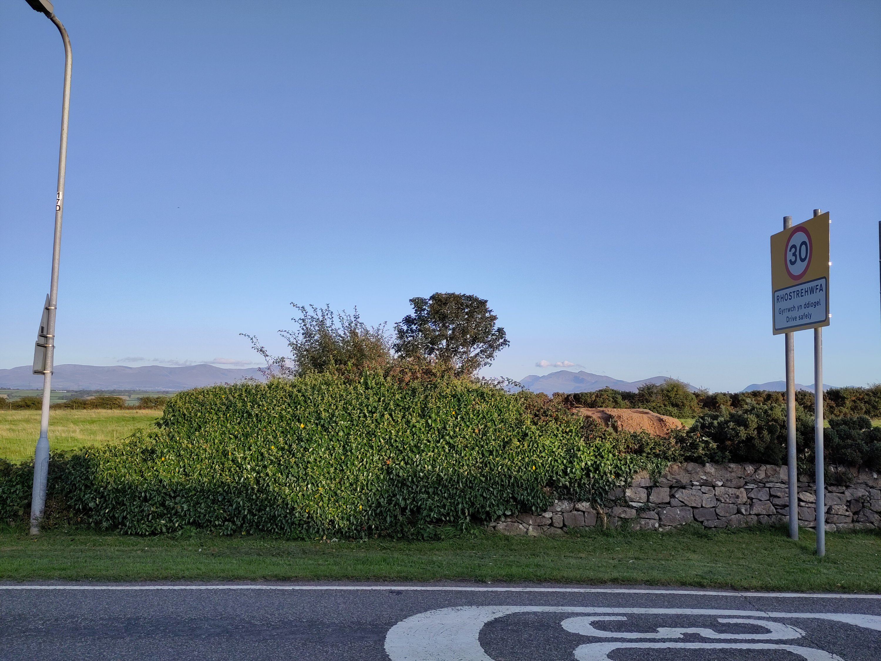
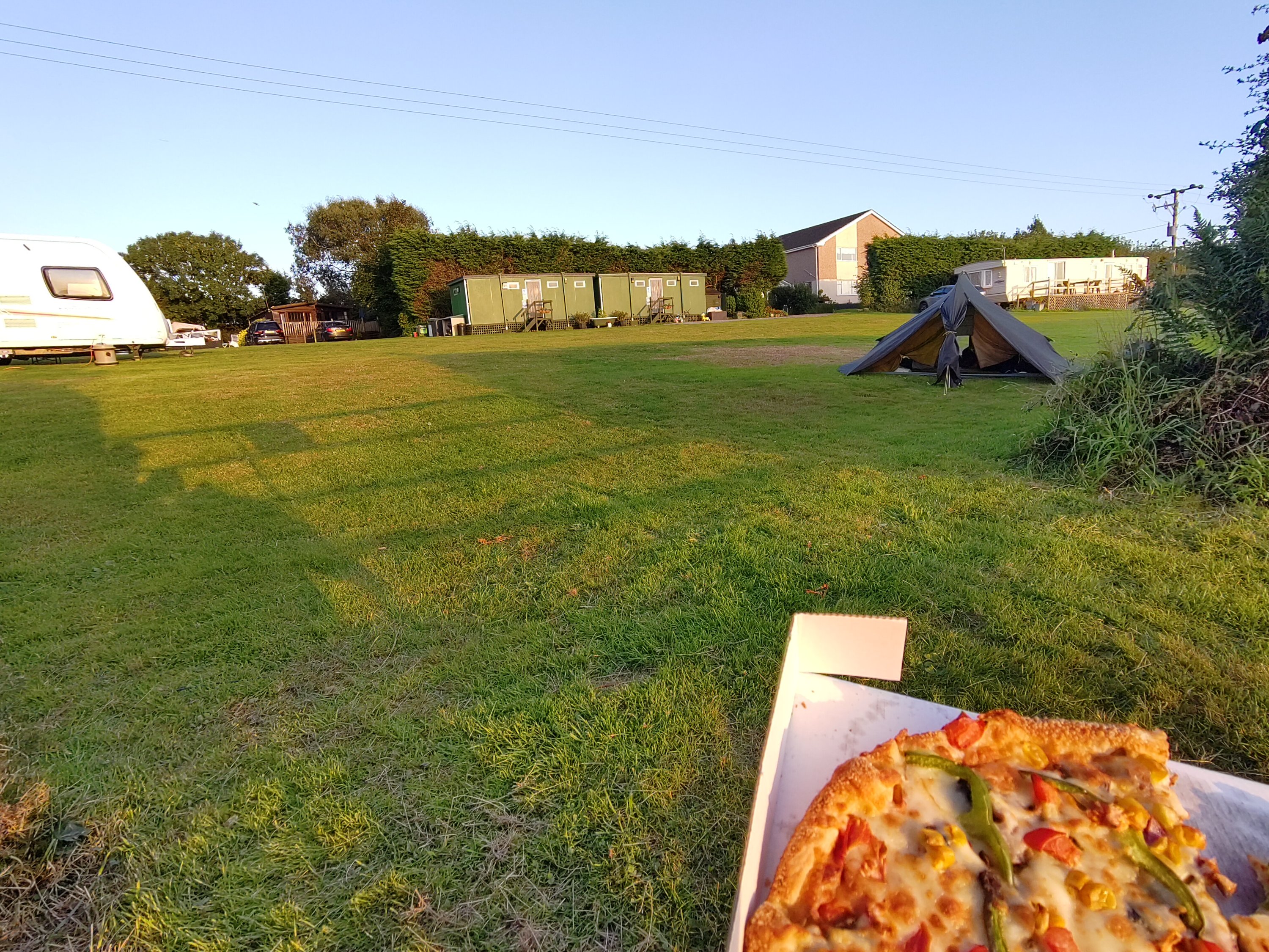
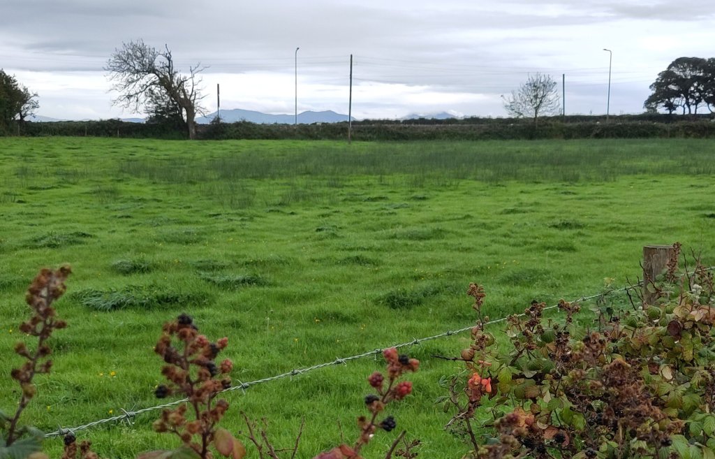
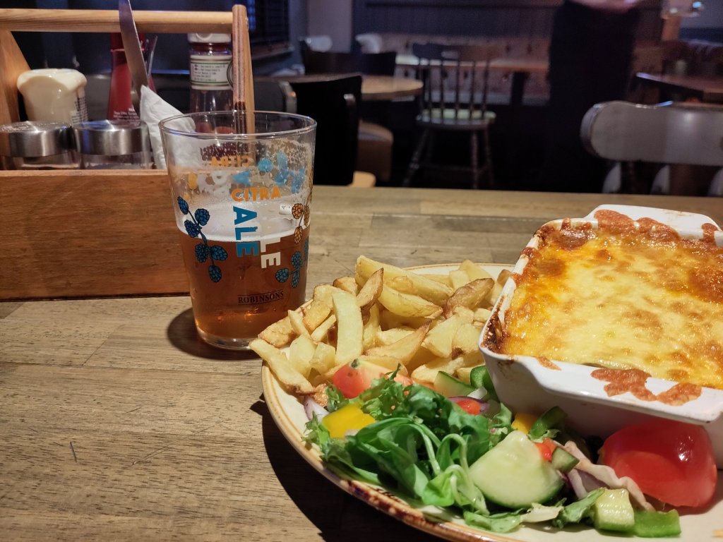
Snowdonia in the distanceDinner al fresco – there was also a healthy salad 🙂
It is again bedtime… You have been saved from a long and slightly technical geological overview of Anglesey and the details of my future plans in this wonderful Geopark. Nos da, bawb! (Good night, everybody!)
There is so much that we take for granted. Such as my mobile phone being capable of capturing images of an intelligent ape walking upright carrying his accommodation on his back. There are so many reasons for considering this as a miracle.
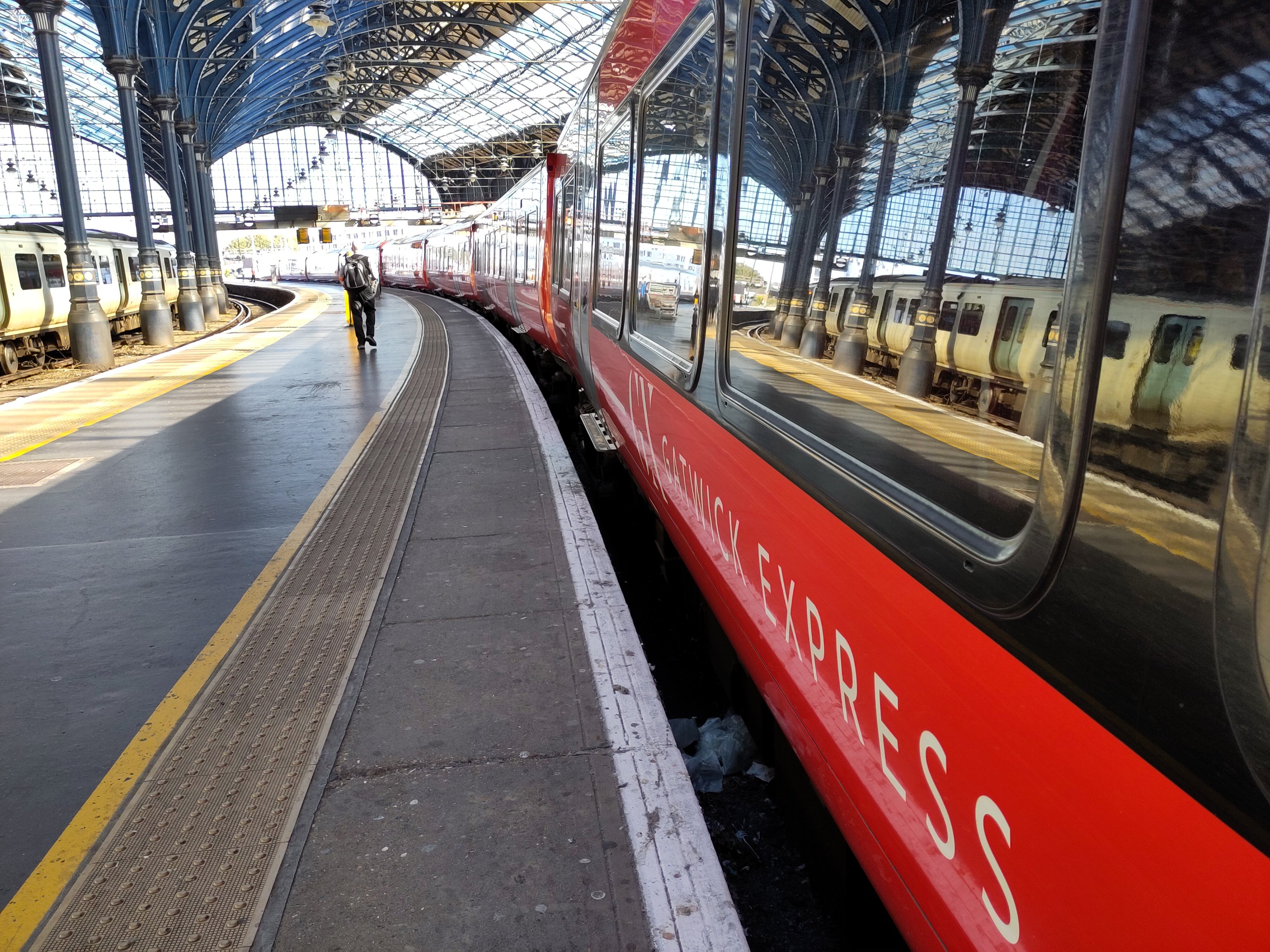
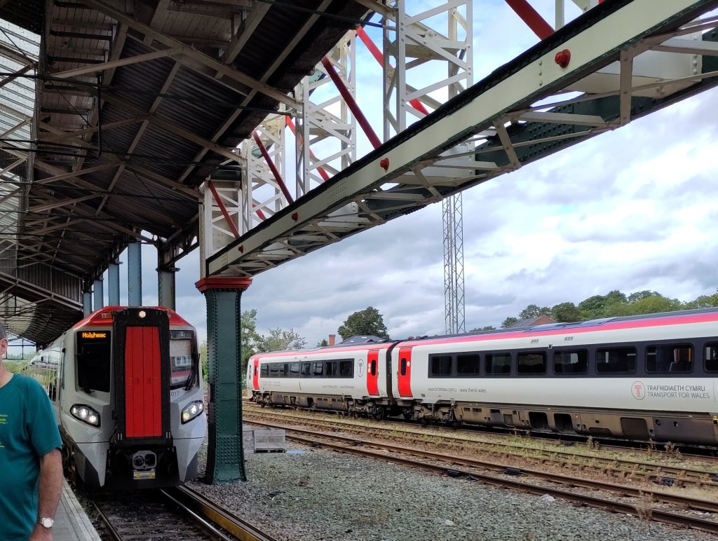
At one level it was miraculous that this particular human being – me – managed to leave the house on time carrying so much stuff! I am now on a wonder of modern technology – a train – speeding towards the far north-west of Wales on hundreds of miles of iron rails.
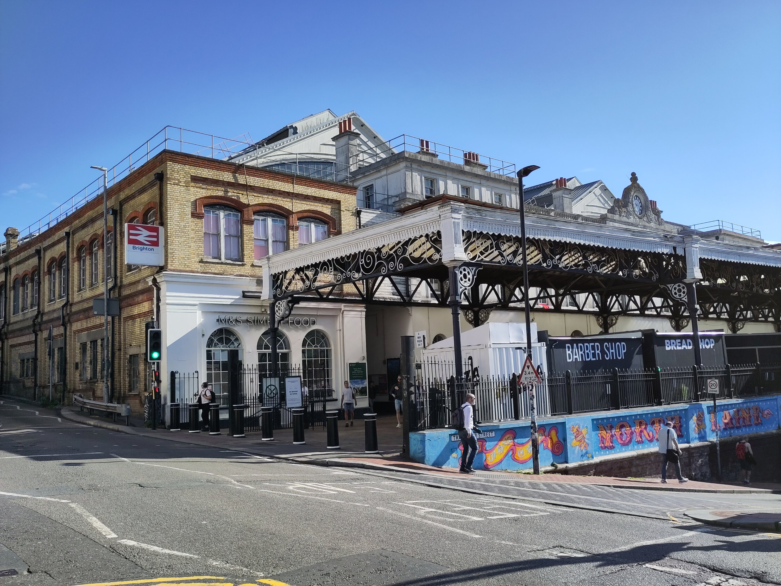
I have left Brighton and the chalkland hills of the South Downs and am on my way, travelling backwards through geological history towards some of the oldest rocks in England and Wales.
In a way, the trains I will be catching are like wondrous time-machines, speeding me simultaneously forwards into the future, and backwards into the dim and very, very, very distant past.
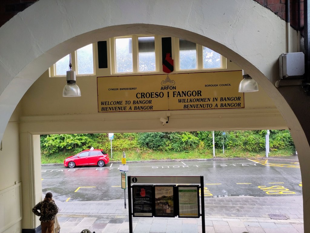
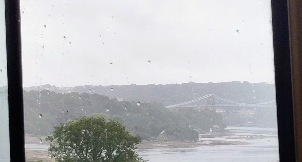
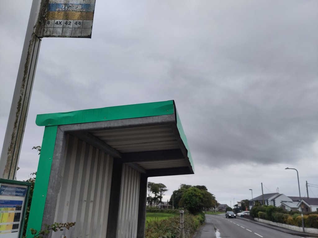
Chester to BangorY Gogarth (Great Orme)Croeso I FangorMy first view of Anglesey from the X4 BusMy stop, Rhostrehwfa!10 mins walk (& it stopped raining!)How does my tent work?View back to mainland Wales & Yr Wyddfa (Snowdon)
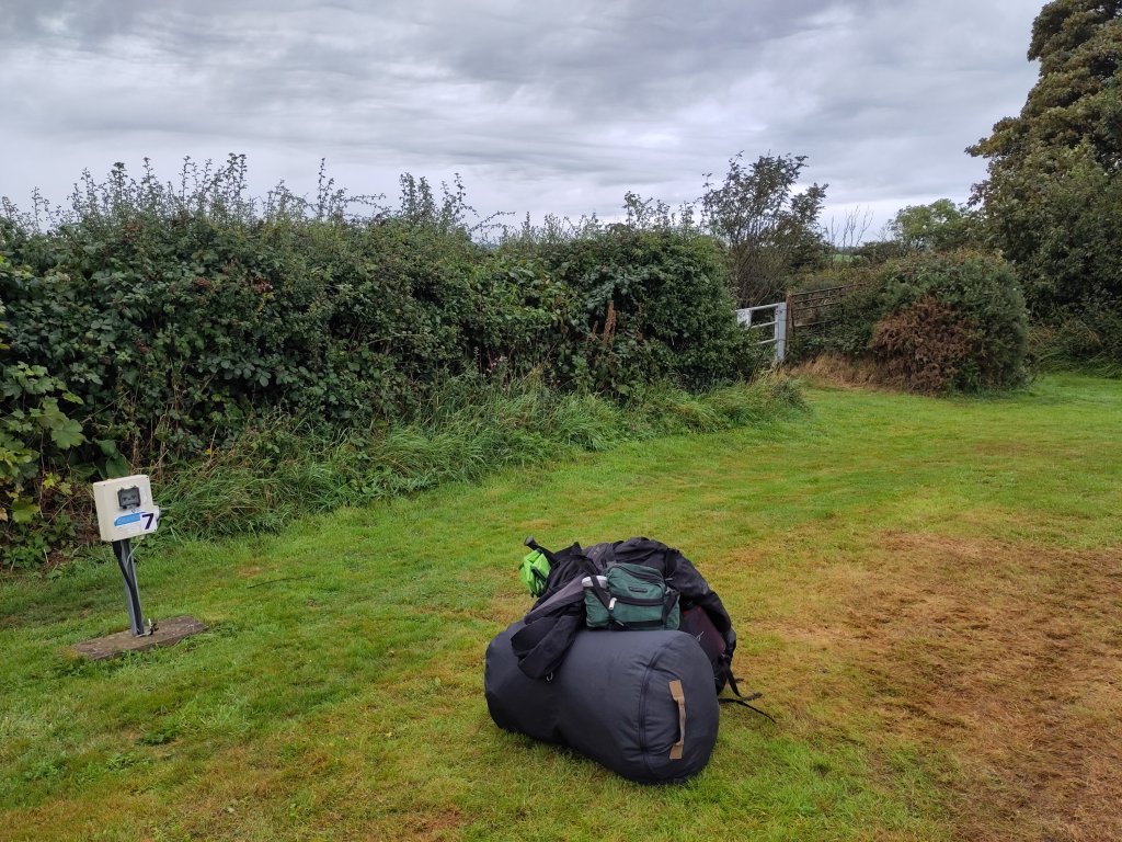
Tent erected. Stuff randomly thrown in for later now for the pub and dinner 🙂
In the beginning God created the heaven and the earth. And the earth was without form, and void; and darkness was upon the face of the deep….
Genesis 1
In the Beginning…
All stories or histories need a beginning. This blog is about the history of an isolated farm labourer’s cottage whose demolished remains lie hidden in the top NW corner of Castle Hill National Nature Reserve, famous for its chalk downland fauna & flora, midway between Brighton & Lewes.
The cottage’s origins lie in the Georgian period, over 200 years ago, and are connected with the Prince of Wales coming to Brighton resulting in the son of Kingston’s biggest landowner running up a huge gambling debt. However, in the history given here, and in my walks and talks, I have taken the story back further to start with the prehistory of the Kingston and Balsdean Downs.
My history has become the story of a landscape, and the people and geography that shaped it. I have given many guided walks across these Downs. They are where I was born. They are where both my parents were born. And something I took for granted was the stuff under our feet – chalk and flint.
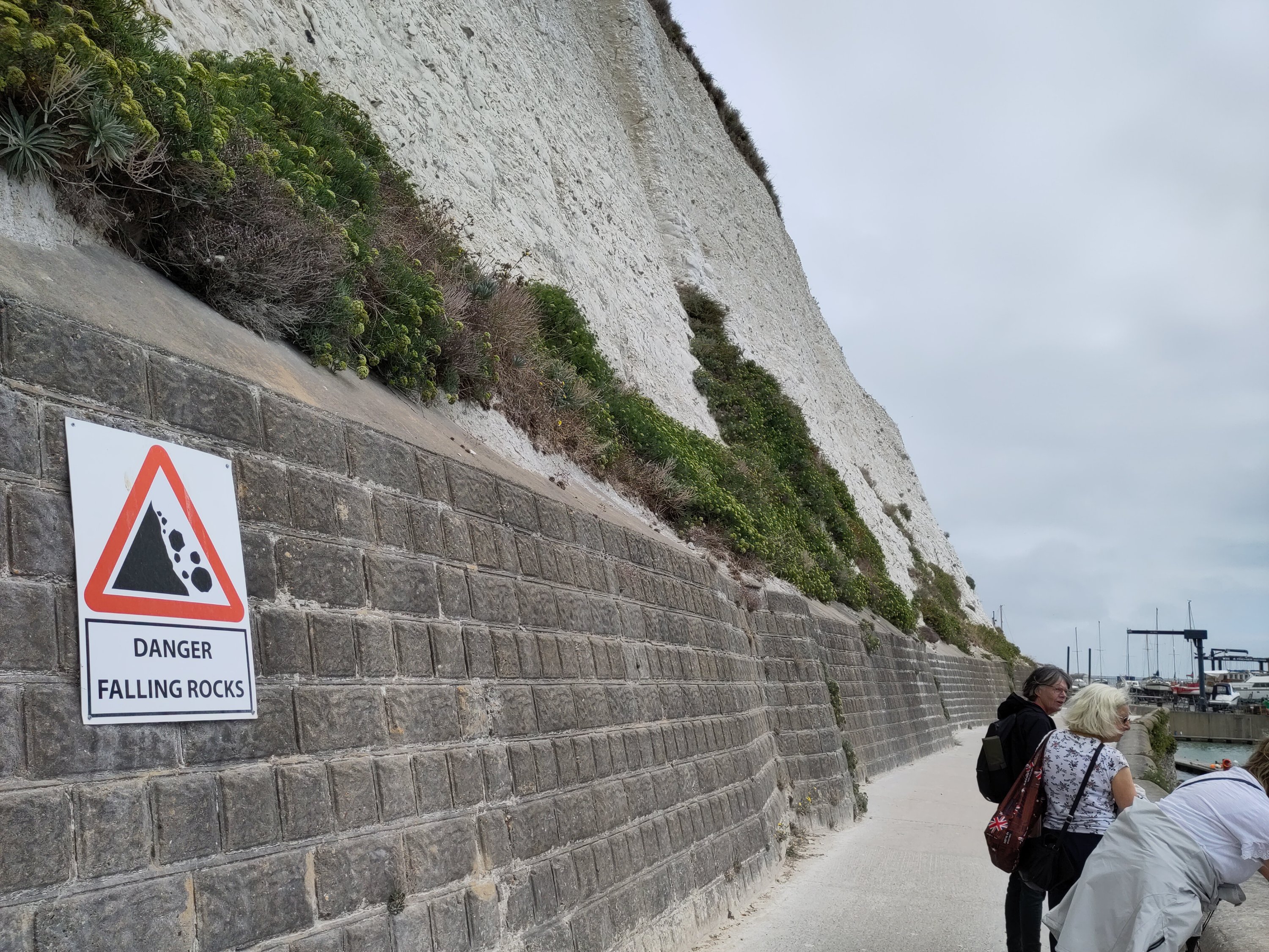
The rocks under our feet can be seen exposed in the cliffs between Brighton and Beachy Head – brilliant white beacons of chalk. Their formation influenced so much of the later history and natural history of these most beautiful of South Downs that I needed to include them in my studies.
Of Chalk, Flint and Geology
I have now given two guided Healthwalks on our chalk and flint geology. But I am not a geologist. So when the two geologists who attended my last geology Healthwalk said I should study geology properly because I was really good at sharing my (limited) knowledge I thought – why not!
Ynys Môn (Anglesey)
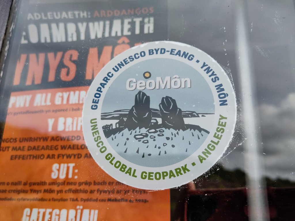
After much consideration. I chose a camping trip to Anglesey as my first geology ‘classroom’. GeoMôn GeoPark – which covers the whole of Anglesey – is a UNESCO world geology heritage centre – one of the best places in the World for studying plate tectonics. This means that evidence for the movements of the continents across the face of the Earth throughout hundreds of millions of years of history can be experienced there. And understanding the story of our chalk South Downs involves understanding the forces involved with plate tectonics – of which much more later.
Chaos and Void
This is not a description of the earliest geological processes in Earth’s evolution. It is a description of the state of my packing! I haven’t been camping for a few years so I discovered that a lot of my old gear needed replacing. As many of you may know I have ADHD and Asperger Syndrome which means that, despite my intelligence my practical abilities can be somewhat chaotic. The void represents the gap between a completely organised, packed state of readiness and where I am now!!
So, without further ado, I will close now so I can get on with all the necessaries, then get some sleep ready to set off for Anglesey in the morning 🙂