A History of Newmarket Farm in Twelve Objects
Object 2: Maps and Plans
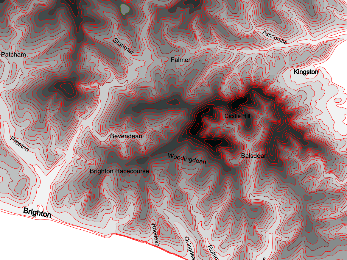
Contour Map of area between Brighton and Lewes
Right click to open at higher resolution
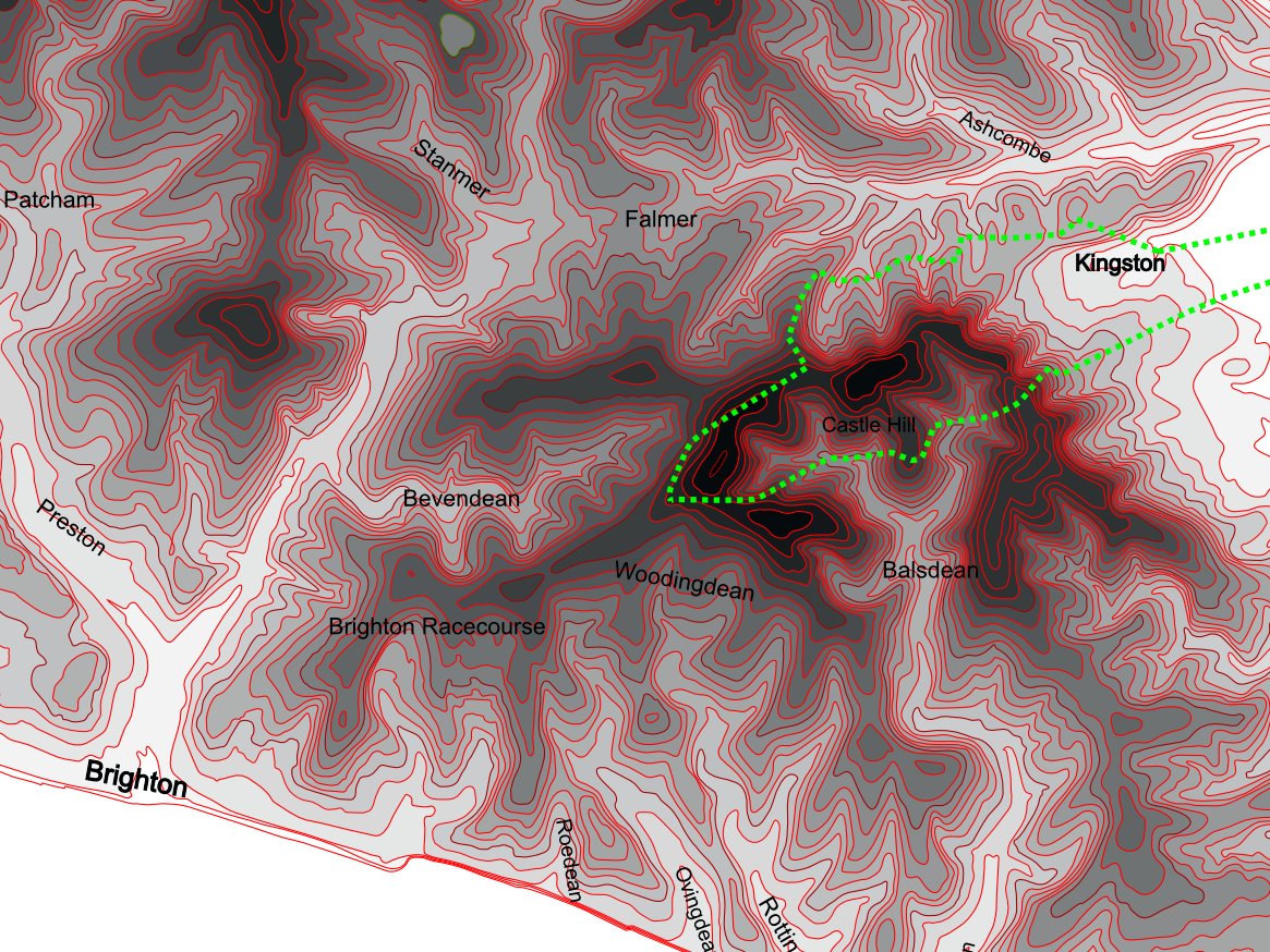
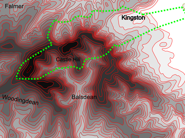
Contour Map with Kingston Parish Boundary
Kingston Parish Enclosure 1830
- Kingston Parish before enclosure in 1830
- Open strip fields and water-meadows in the east
- Sheep grazed downland held ‘in common’ in the west
- After enclosure the ‘Kingston Down’ was transferred to private ownership
Kingston Parish
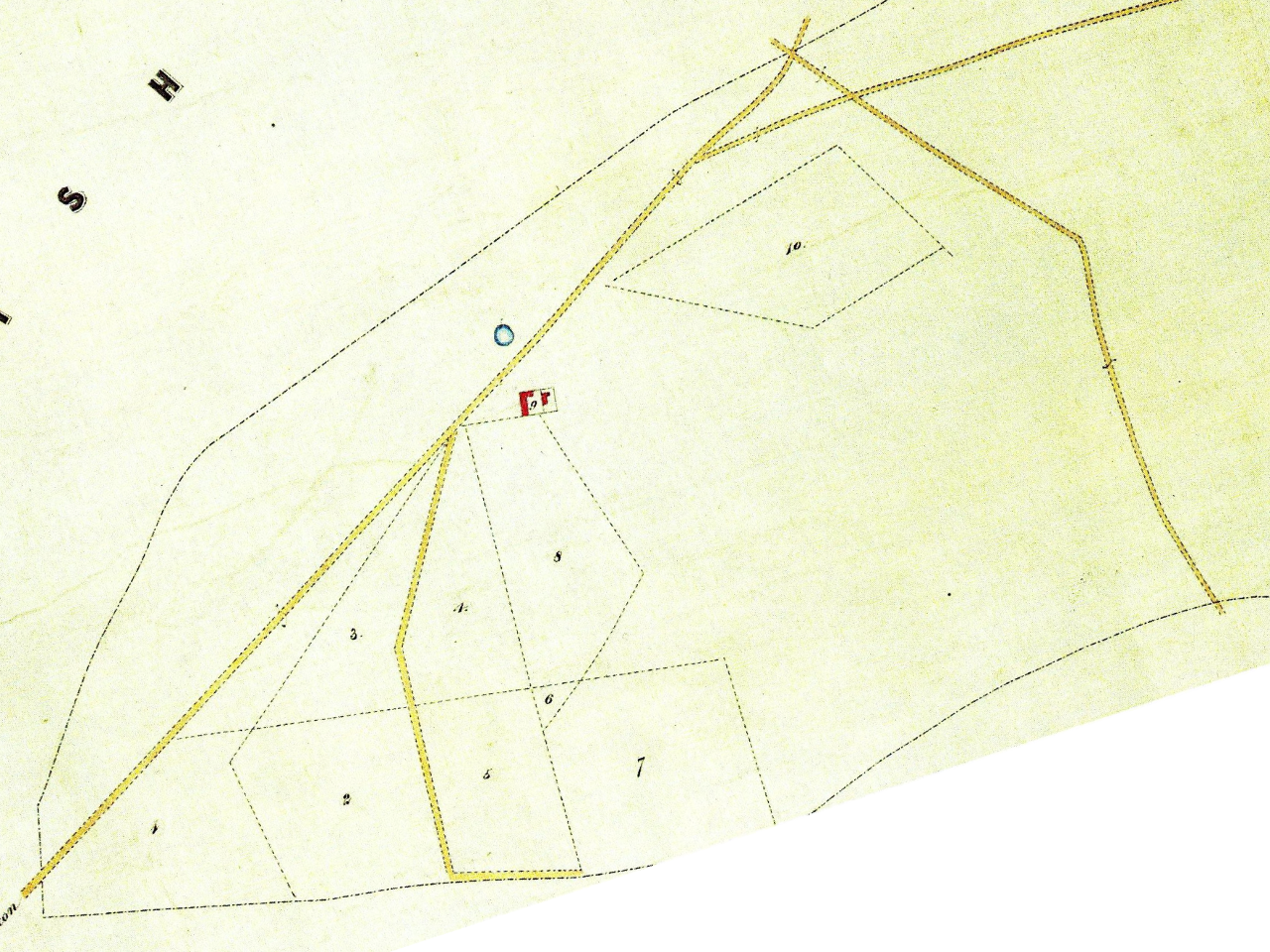
1830 Enclosure plan of Newmarket Hill
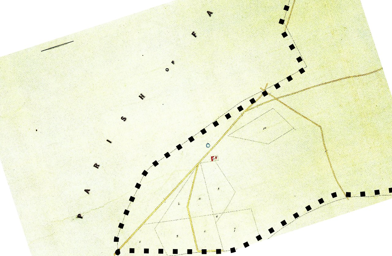
Earliest plan of Newmarket Farm
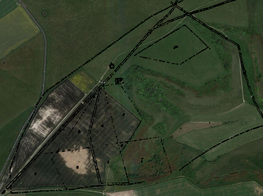
Google Satellite Image of Newmarket Hill & Outline of 1830 Plan
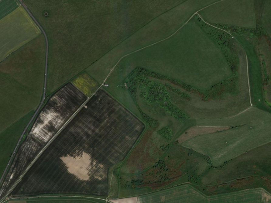
Google Satellite Image of Newmarket Hill
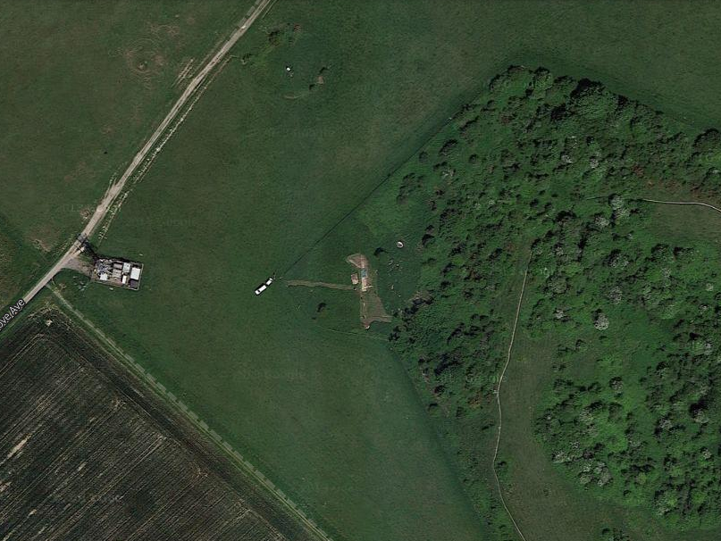
Google Satellite Image of Newmarket Hill, Aerial, Dew Pond, and NW corner of Castle Hill NNR
Google Satellite Image of NW corner of Castle Hill NNR, and Newmarket Farm Dig; 6th June 2013
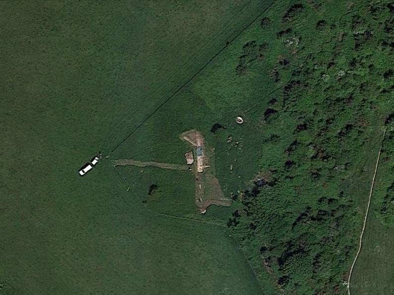
Google Satellite Image of NW corner of Castle Hill NNR and Newmarket Farm Dig; 6th June 2013
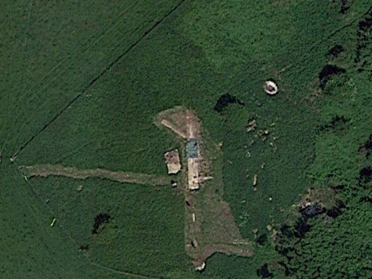
Google Satellite Image of Newmarket Farm Dig overlaid with dig plan

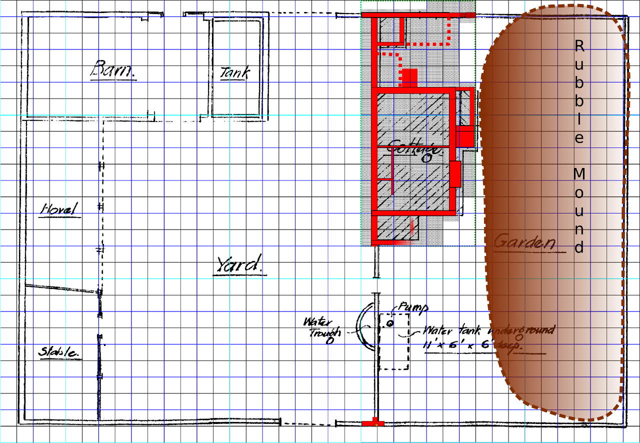
Newmarket Farm Dig Plan
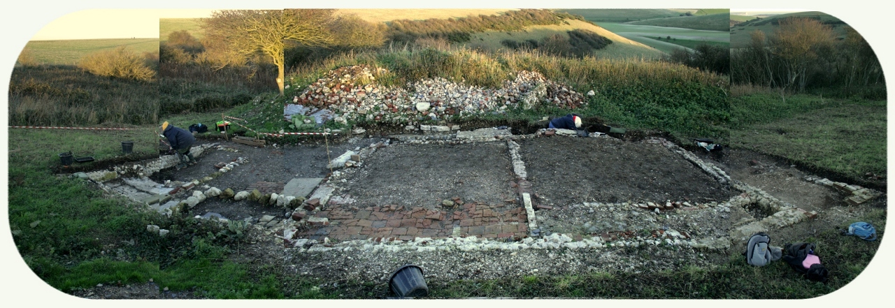
Newmarket Farm Cottage Excavation – Right click for enlarged image
End of part 2 of 12 part presentation
Previous: Object 1 – Personal Memories
Next: Object 3 – Documents
