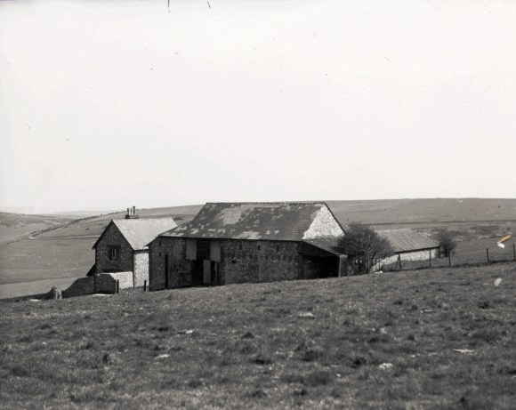
Newmarket Farm photo possibly taken in about 1924. From a collection of photos by Capt. Bertie Hubbard Maclaren. Brighton & Hove Royal Pavilion and Museums, ref. HA930078.
Two hundred metres above the nearby English Channel, Newmarket Hill crowns that part of the South Downs which lies between the towns of Brighton to the west and Lewes to the east, and between the villages of Rottingdean to the south and Falmer to the north. It’s top is in the parish of Kingston near Lewes, the village of which is about a mile and half away. It is now only about a mile to the north-east of the relatively modern village of Woodingdean and a mile and a half to the north-west of the deserted medieval hamlet of Balsdean. Its south-eastern slopes form a part of Castle Hill National Nature Reserve which is a site of European importance. This blog is about the history and ecology of its surrounding downland.
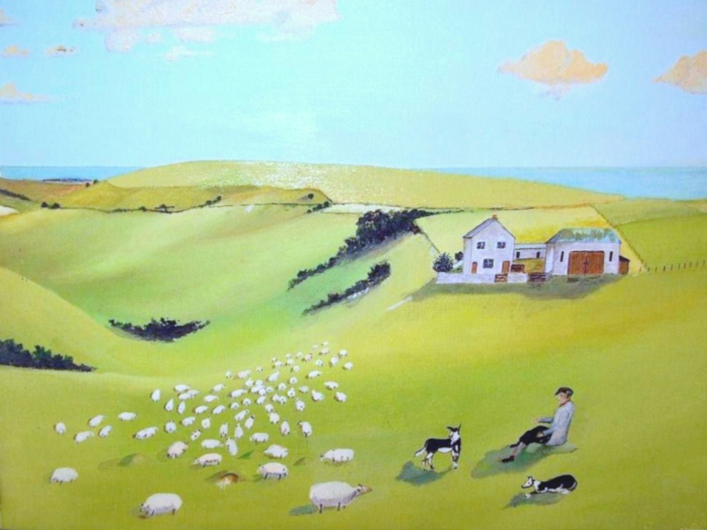
Newmarket Farm by Douglas Holland.
In April 2013 I managed – as a volunteer for Natural England – a community based excavation of the site of a 19th century farm labourer’s cottage, farmyard and barns called Newmarket Farm, just inside Castle Hill NNR, near the summit of Newmarket Hill. It was built in 1830 and was the birth place of my mother in 1942, shortly before it was requisitioned for military training by British and Canadian troops stationed both locally and further afield in SE England.
Newmarket Farm location. Overlay of old and new O.S. maps and Google satellite images.
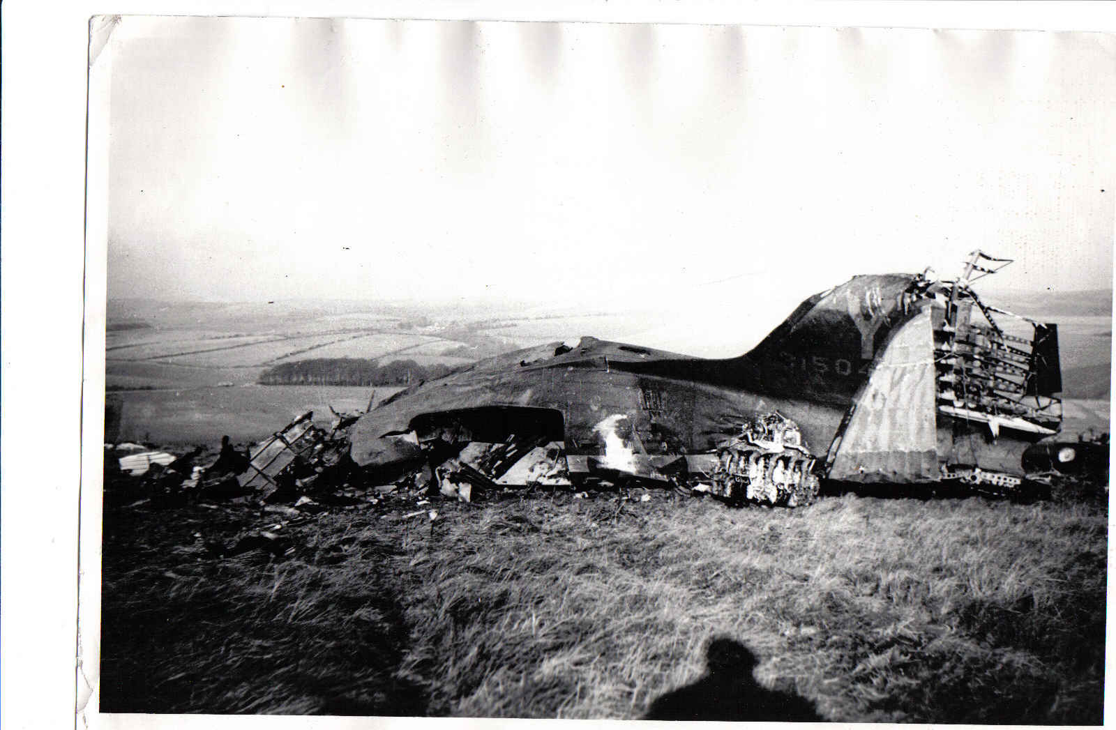
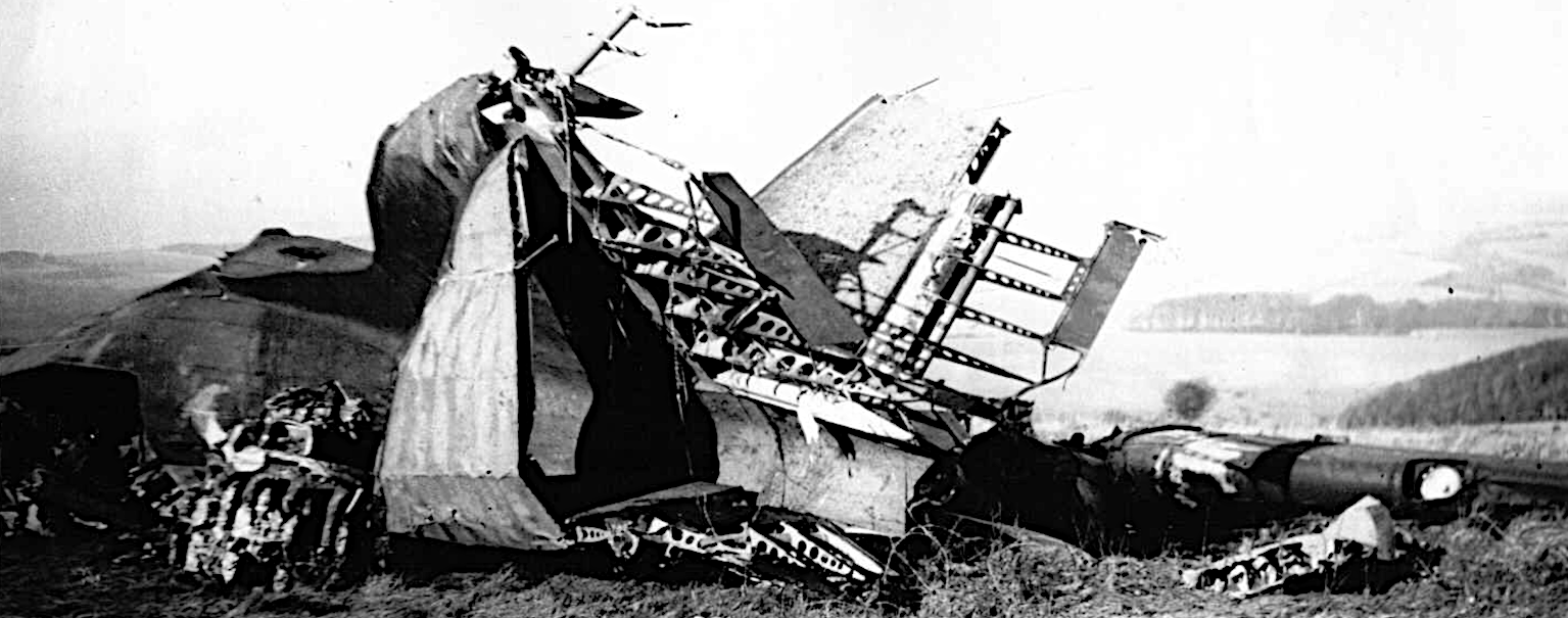
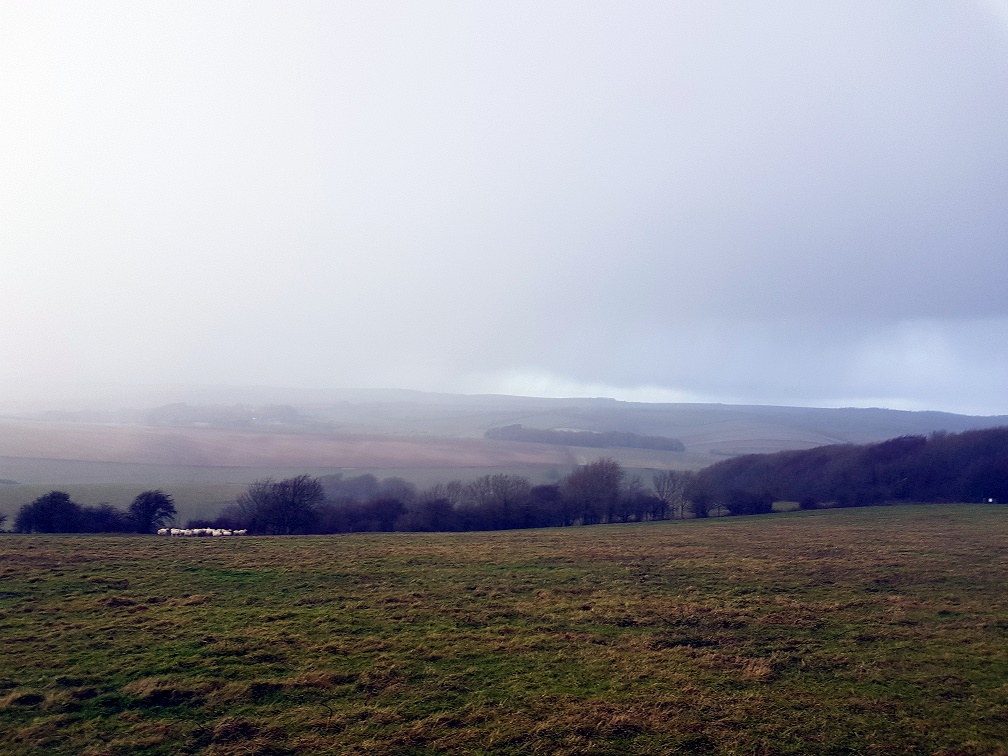
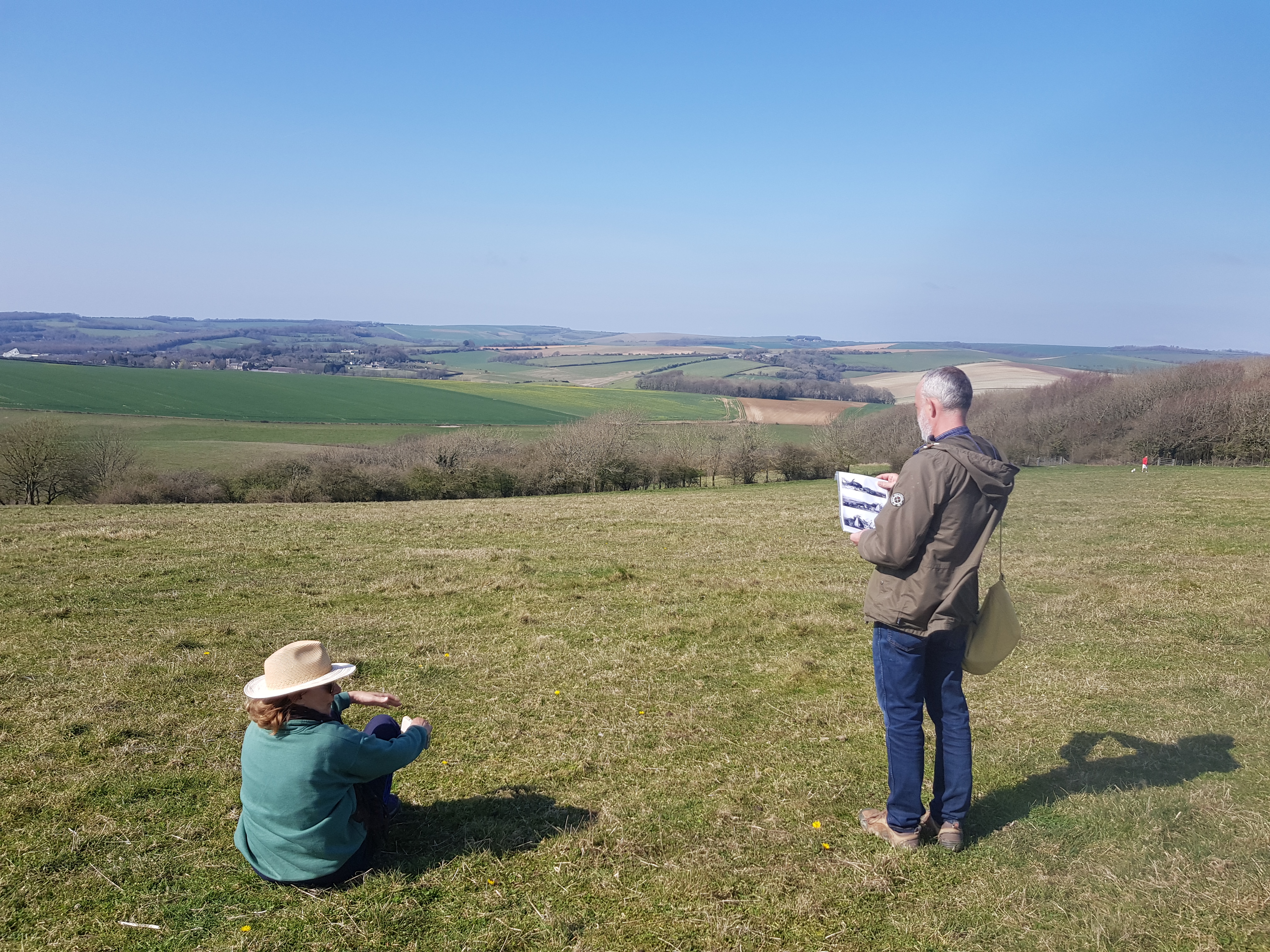
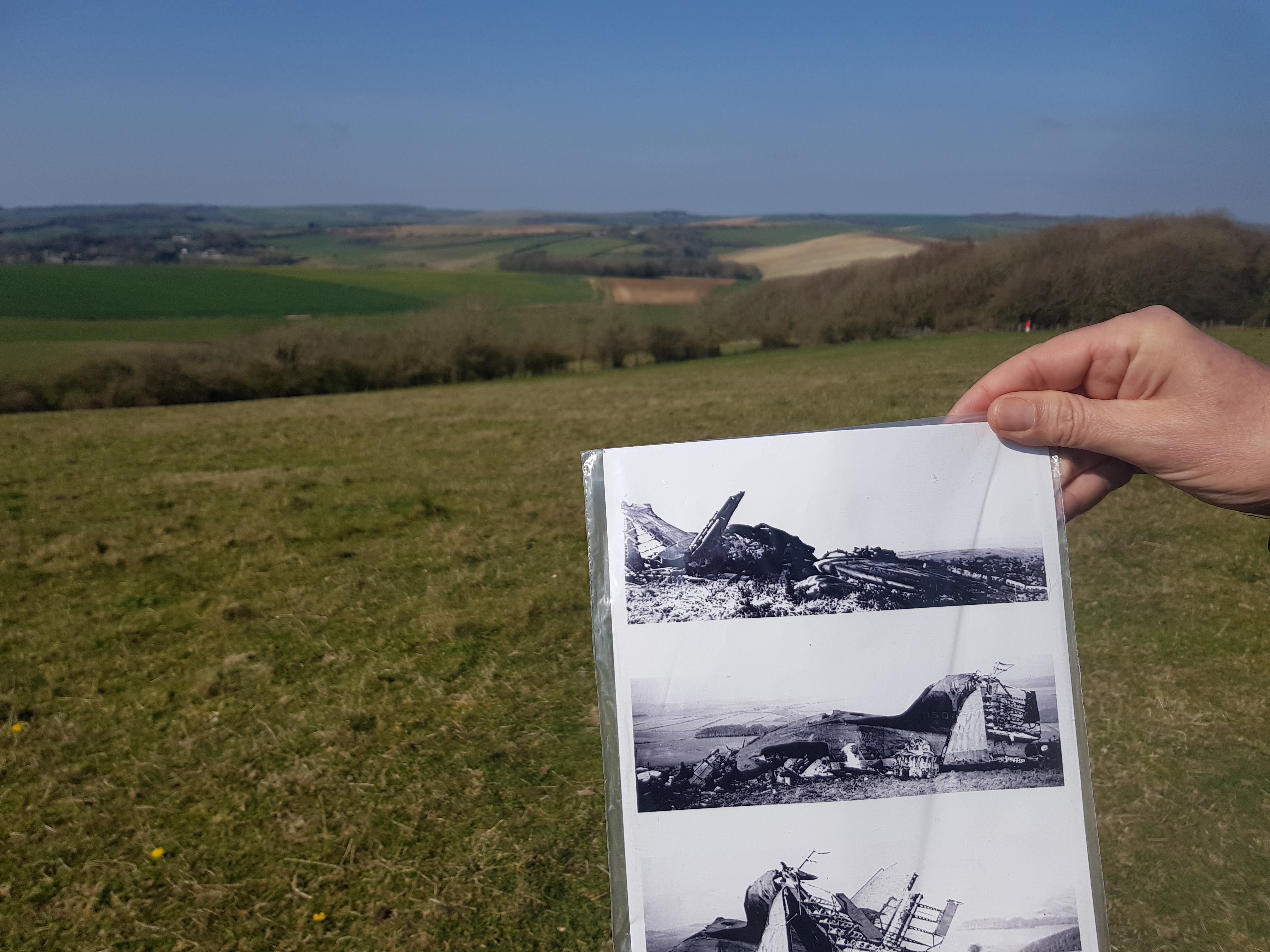
1944 Dakota plane crash, with Crandean Plantation and Balmer Farm left of centre in the background.Another view, with Newmarket and Crandean Plantations with trees of Balmer Farm behind to the right of the picture, and Stanmer woods far left.Site of WW2 Dakota crash; Balmer Farm, hiding in the mist left of centre, Cranedean Plantation centre of background and Newmarket Plantation on the right.
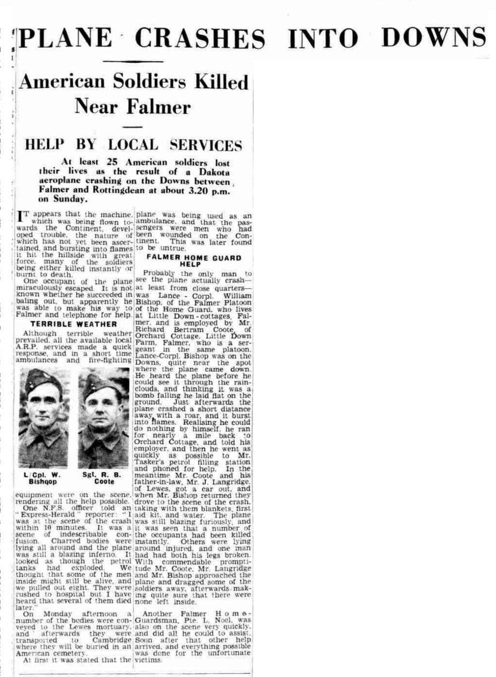
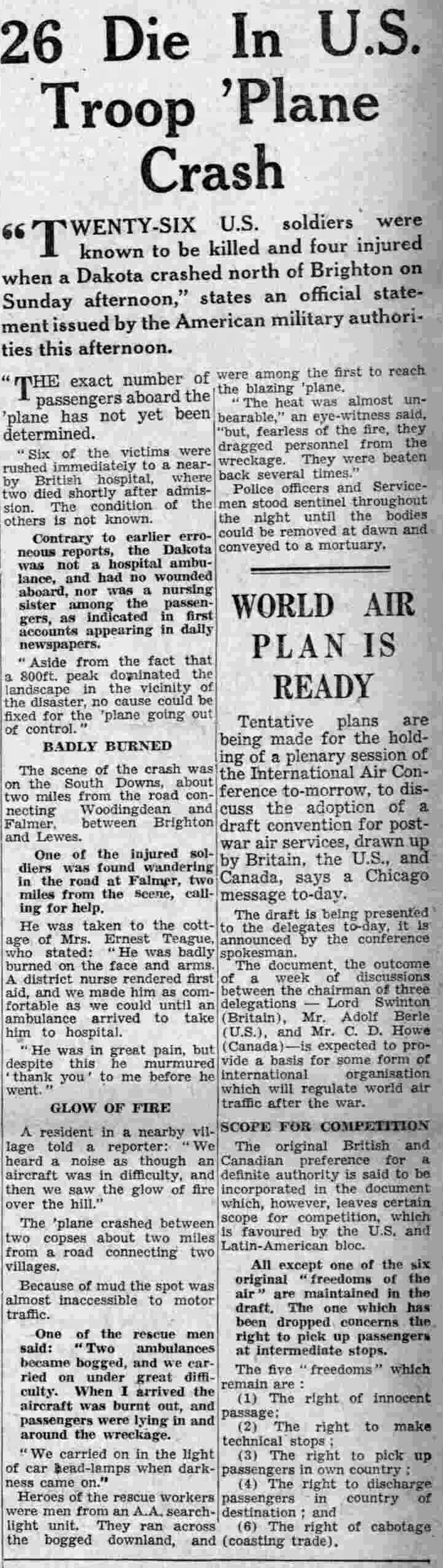
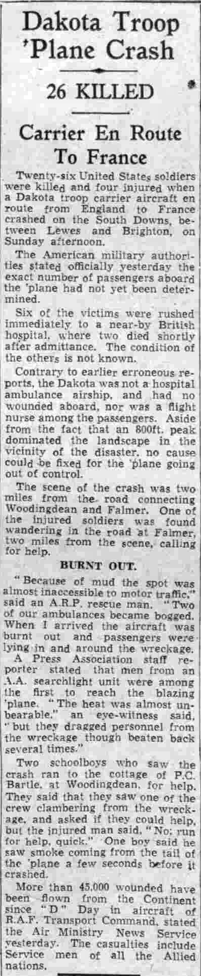
Tomorrow is the 80th anniversary of this tragedy. I am sorry that I was unable to organise a commemorative visit to the site of the crash this year as I had hoped. I have previously written of it here and here. A few years ago I was privileged to speak to two eye-witnesses. Included below are some pictures from a walk I led two years ago, confirming the location of the crash site – as well a number of newspaper reports.
Lest we forget.
Unknown newspaper report of Dakota plane crashGloucestershire Echo, 20 November 1944 The Western Morning News, 21 November 1944
Yesterday I went for a walk on the wild side in preparation for a special Healthwalk I will be leading on Friday 21st June. The Downs have a different character in the evening. The day-shift is going to bed and the night shift is waking up.
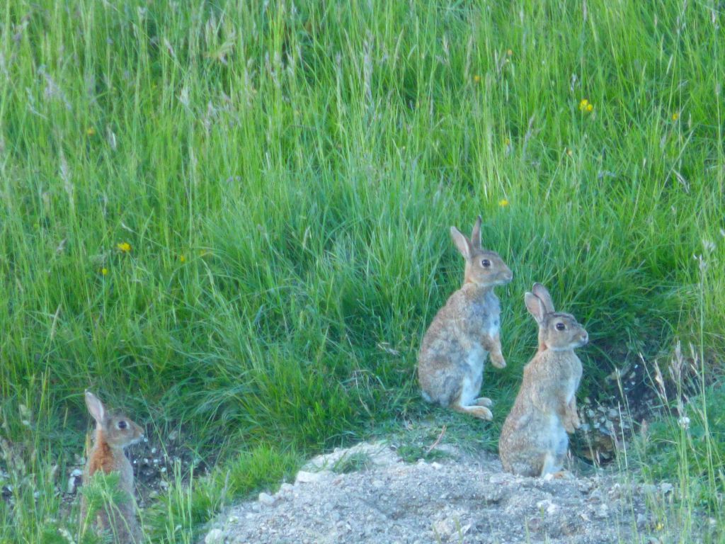
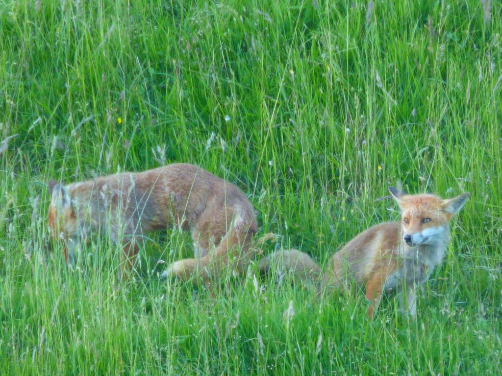
My destination for this year’s wildlife walk is Bird Brow, a site that I knew was a significant badger set in the past. My parents and I regularly went badger watching on the hillside opposite Bird Brow back in the mid-late 1970s and were never disappointed. However, yesterday evening at least 3 of the set’s holes were occupied by several rabbits and a pair of foxes. It was wonderful to watch the foxes ignoring their rabbit neighbours. Nevertheless, the rabbits never left the close vicinity of their burrows whilst I was watching.
A close examination of the former complex of holes that made up the badger set failed to find the tell-tale signs of recent badger specific activity. Many of the holes were obviously actively being used by burrowing animals but there was an absence of discarded bedding or of well worn paths leading away from the set, both of which are typical of badger activity.
This part of the downland valley between the Balsdean and Kingston Farms is part of the huge Swanborough Farm. They regularly keep cattle in this valley. It is possible that Swanborough Farm successfully applied for a licence to cull badgers in the hopes that this would prevent future outbreaks of bovine tuberculosis. The evidence is mixed and highly emotive as to whether culling badgers is effective or necessary.
Later in the summer the nights are much warmer. I much prefer August for watching night-time wildlife. With the descent of the sun, the singing of daytime grasshoppers, rubbing their legs together, are replaced by crickets (with their longer legs and antennae) rubbing their wings together. The extra warmth also seems to bring out more night-time scents. In the dark our senses of smell and hearing work overtime – senses which are normally overwhelmed by that of sight.
However an evening walk on the longest day, is far less likely to end in tragedy. Walking in the dark – though I enjoy doing so at my own risk – is not something to be encouraged with others. The hard, sharp flints which line our downland trackways, are always ready to receive an unwary walker should they trip and fall. I have chosen a more distant spot this year because it is rarely visited by late evening dog walkers – an issue with badger sets nearer to Woodingdean. Health and safety is a very real consideration.
A mid-summer walk to Bird Brow should provide the best of both worlds; late evening quiet – an absence of daytime hustle and bustle – combined with plenty of daylight to see our way. On my return yesterday, the sun was going down whilst black ground-beetles scuttled across my path and bats swooped and dived around my head, silhouetted against a beautiful sunset tinged sky, with a moon close to full riding high in the sky.
Our walk starts 6pm at the usual Castle Hill car park meeting place just north of the junction of Bexhill Road and Falmer Road, immediately beyond Woodingdean, on the edge of the South Downs. Because of the early start I recommend bringing food and drink, something to sit on, and very warm clothing. The set is an hour or more’s walk away and we will be sitting watching in a windy valley on a shaded hillside with no shelter for an hour or so, before returning with the setting of the sun, arriving back about 9.30pm. The temperature drops very quickly as it dips towards the horizon. Assuming a cloudless sky, on Friday we should see the moon, just one day before it is full.
Foxes in the centre of the (former?) badger set area, Bird Brow, near Balsdean.
The Apennine limestone mountain chain in the distance, from the flat Po Valley.
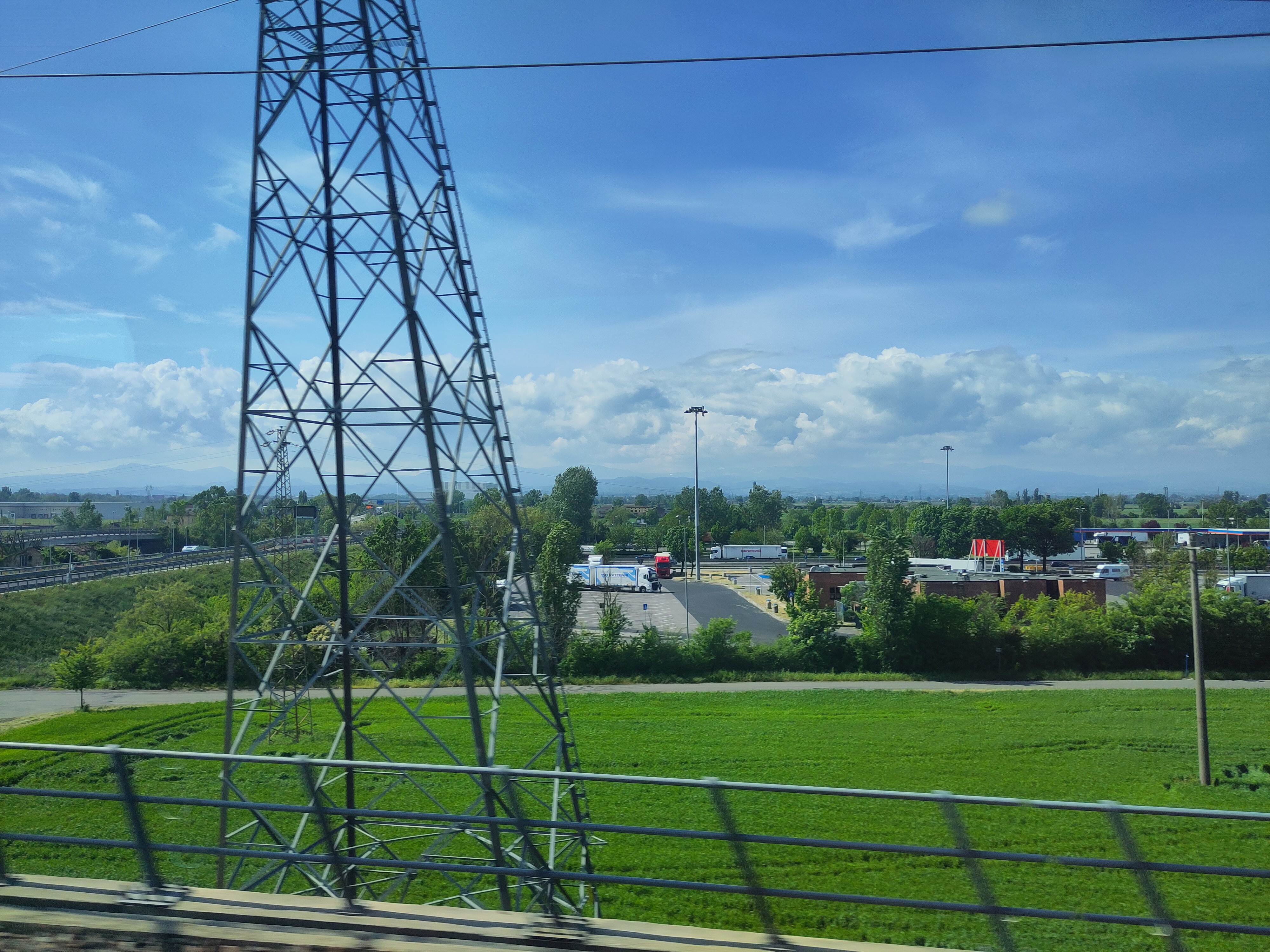
On the next leg of my epic journey through France, Switzerland and Italy, I travelled south-east, leaving the Alps behind. My train crossed the flat plain of the Po Valley which is situated on top of a micro-tectonic plate called the Adriatic or Apulian plate. It wraps itself around the limestone mountain backbone of Italy – the Apennines.
Originally my plan was to understand the geology and formation of the chalk South Downs by developing an understanding of the Italian limestone mountains of the Umbria–Marche, as written about in the book by Walter Alvarez, The Mountains of Saint Francis: The Geologic Events that Shaped Our Earth. The book is an excellent introduction to geology.
Chalk is a very pure form of limestone. The Umbria-Marche limestone Apennines are better studied by geologists. A very simplistic reason for the uplifting of the South Downs – to form the beautiful rounded hills that I grew up with – was the collision of Italy (which more than 30 million years ago was a peninsula of Africa) with Europe, which resulted in the uplifting of the Alps. The ripples of this collision spread out as far as England, lifting the Downs up out of the sea (if my very limited understanding is correct!).
So my plan was to visit as many of the sites as I could which were written about in this book. I wanted to directly experience and share what I could of his teachings, especially those aspects which might help me better understand the story of the formation of the chalk South Downs.
Mentioned almost in passing in the book was a reference to a small but important geological study centre called Coldigioco which Walter Alvarez had helped create with help from his former PhD student Alessandro Montanari. So, after making initial plans, I emailed Dr Montanari if I could visit his geological ‘observatory’ for a night on my return journey to England. He replied that I should stay for at least 3 days and that he would be happy to be my personal tour guide to the geological sites of the area!
Next stop, therefore, was the Osservatorio Geologico di Coldigioco! This was by way of a train to Ancona, and another to Castelplanio, where I was met by Sandro Montanari. We drove through beautiful green farmland with lots of hedges and woodlands, all bursting into full leaf. The low hills we drove through at the feet of the Apennines were, I was told, the remains of a series of terraces which had formed during the many warm and cold periods of the ice age. After passing through the village of Frontale (near Apiro), which is dominated by a mountain called Monte San Vicino, we soon arrived at Coldigioco.
Group photo of the inaugural foundation of the International Big History Association, near Coldigioco in 2010. Sandro Montanari is centre front in a red tee shirt and Walter Alvarez is behind Sandro wearing a beret. Monte San Vicino dominates in the distance. Wikimedia Commons.
1944 Dakota plane crash, looking NW, with the trees of Balmer Farm top right in the far distance, Cranedean Plantation below it in the central distance to the right of the wing, and the W edge of Newmarket Plantation closest right. Top left, the woods of Stanmer Park can be seen in far distance. The village of Falmer is hidden behind the central part of the plane’s wreckage.
This year marks the 80th anniversary of D-Day. A crucial element of our success was an American workhorse transport plane, the Douglas C-47, otherwise known as the Dakota. Some five and a half months after our initial invasion, on Sunday 19th November 1944, a routine transport of mostly American troops from France ended in disaster, immediately north of the Balsdean Downs — almost exactly midway between Brighton and Lewes. It was the worst recorded plane crash on British soil to that date.
A technical report stated:
Douglas (Model DC-3A-456) C-47A-80-DL, msn 19512, USAAF serial number 43-15046, crashes at Lewes, Sussex, England, at 1510 hours local. The aircraft strikes a hill while flying in low overcast, explodes and burns; 25 of the 30 people aboard are killed.
The exact location of this air-crash appears to have been lost in recent years. Based on photographs it can be identified as being approximately 140 metres south-southwest of the southern edge of Newmarket Plantation, on the north side of the Newmarket Hill ridge, at a point from where Balmer Farm is (more or less) in line with the centre of Cranedean Plantation and the western edge of Newmarket Plantation (TQ 3677 0771). One of the first to arrive at the accident site was a friend’s mother driving an ambulance, as well as schoolboys from Woodingdean who’d seen the flames from over the hill. At the time it was well reported in the press, and various Internet sources have provided further details.
It was stated that the USAAF (439th Troop Carrier Group) military flight departed Chateaudun Airport (LFOC), France and was destined for Newbury-Greenham Common RAF Station (EWY/EGVI), United Kingdom. It was carrying 25 passengers (23 personnel of the 92nd Troop Carrier Squadron, 1 from Group Headquarters, 9th Air Force Troop Carrier Command) and 2 French civilians), 4 or 5 crew, as well as 13 type B-4 bags and all personal equipment. Aircraft was not believed to have been overloaded.
They encountered poor weather conditions on route. At the time of the accident, the cloud ceiling was low with a maximum horizontal visibility estimated at 800 meters. In addition, the wind was blowing from the south at an estimated speed of fifteen knots. It was elsewhere reported reported as flying at minimum altitude with minimum visibility — apparently a not uncommon occurrence — and that in attempting to descend, after clearing a 645′ hill, the aircraft probably was forced into the ground by the turbulent weather (or crashed into cloud-shrouded Newmarket Hill at a height of 600 feet (180 m) [though I prefer Castle Hill, for reasons given below]). The aircraft was being flown by an experienced crew and at such a low altitude, an unexpected downdraught might have forced the aircraft down before the crew could react to and counteract it (this tallies with the wind direction and topography based on my proposed crash location given above). According to a survivor onboard there was an electrical failure so: “They did not have their lights to see the hill nor the equipment to know their height or direction”. Another report gives the flight direction as being from England to France (I believe this may be wrong; see below). It burst into flames after crashing, and wreckage was strewn over a wide area. ARP workers ran 2 miles to the crash site (the distance from Woodingdean ARP First-Aid Post) and rendered what assistance they could.
Crew:
Pilot
1st Lt. Donald Q [O] Reid
USAAF
Killed
Navigator
T Sgt. Walter J James
USAAF
Severe burns
Sgt. Bryce D Hacking
USAAF
Burns and other injuries
Sgt. Orazio R Toglia
USAAF
Burns and other injuries
Cpl. Eric Ackerman
USAAF
Burns and other injuries
Passengers:
92nd Transport Squadron:
Pilot
1st Lt. Roy L Gritz
USAAF
Killed
Navigator
1st Lt Stanley E Lis
USAAF
Killed
Pilot
2nd Lt. Russell W Barron
USAAF
Killed
Crew Chief
T Sgt. John H Young
USAAF
Killed
Crew Chief
T Sgt. Howard F White
USAAF
Killed
Glider Mech
S Sgt. Donald S Horstick
USAAF
Killed
Instr. Specialist
S Sgt. James H Holly
USAAF
Killed
Crew
Chief S Sgt. Arthur M Hackett
USAAF
Killed
Cook
Sgt. Barbato C D’Andrea
USAAF
Killed
Engineer
Sgt. Joseph H Alba
USAAF
Killed
Glider Mech
Sgt. Jake E Hesser
USAAF
Killed
Baker
Sgt. Felix R Sobkowiak
USAAF
Killed
Engineer
Sgt. William Hickson
USAAF
Killed
Glider Mech
Sgt. Sherman W Miller
USAAF
Killed
Glider Mech
Sgt. Harold F Mills
USAAF
Killed
Transport
Cpl. Richard M Jones
USAAF
Killed
Engineer
Cpl. Paul A Kokko
USAAF
Killed
Engineer
Cpl. Charles W Evenick
USAAF
Killed
Refuel. Unit
Pfc. Byron G Peacock
USAAF
Killed
Transport
Pvt. Roland P Lariviere
USAAF
Killed
Engineer
Pvt. Frank R Mix[n]er
9th Air Force Troop Carrier Command
Group Headquarters
Unidentified
USAAF
Killed
Unidentified
Unidentified
Frenchman
Killed
Unidentified
Unidentified
Frenchman
Badly injured
The clearance document showed the aircraft had 30 personnel aboard, including crew, though the above list only gives 29. Of the 6 injured, 2 died the same day, at the Royal Sussex County Hospital, Brighton.
One report gave the accident as occurring 5 km (3 miles) NE of Brighton. This is more or less correct only if measured from Black Rock, the eastern most part of urban Brighton, not from the town centre. I believe that this, the references to Newmarket Hill, and the IWM photo notes, may have led people to have misidentified the site and orientation of the crash. The photographs clearly show the tail pointing approximately eastwards, strongly indicating the flight path to be more or less from the east, westwards. Chateaudun Airbase is to the SSE of the crash site, and RAF Greenham Common, to the NW. A direct route would have taken them over considerably more open water of the English Channel, which may have been an issue if flying in low visibility without instruments. If I am right, its flight path led it to encounter turbulence whilst crossing Castle Hill, approximately 1 km to the east of Newmarket Hill.
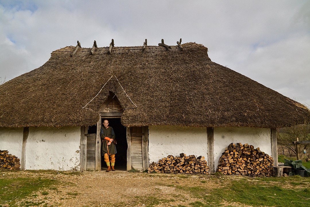
Still struggling with my lurgy. Even if I do my Saxon history walk on Saturday, I will be cutting it very short. I have therefore chosen to give the walk’s historical content here. It is taken from the book I am currently writing with the support of my mother.
Where to start? I will begin at the beginning.
Prehistoric beginnings
This eastern half of the South Downs, centred on Lewes, has been famous for its rounded broad-backed sheep grazed hills since they were described in Gilbert White’s Natural History of Selborne in the late 18th century. These treeless prairie-like grasslands were likened to the Argentinian Pampas by WH Hudson over a hundred years ago. But they are not naturally so. It took some five thousand years of grazing, most famously by sheep, to produce the flower rich chalk grasslands preserved today in nationally important nature reserves such as Castle Hill.
The earliest sign of human activity that I have found on these Downs was half a broken Neolithic polished flint axe head, found near an ancient ridgeway track, locally known as the Juggs Road. The flint axe was made by Britain’s first farmers, to help them clear the forests to make way for their fields. Evidence of this forest was found on Whitehawk Hill, at the end of Brighton Racecourse, in the bottoms of the ditches which formed part of a large Neolithic Causewayed Enclosure. Charcoal, pollen grains and snail shells have been rescued from the prehistoric ditch fills. These tell a story of (temporary?) clearings in an otherwise wooded landscape. Whitehawk Camp, as it is known today, was constructed hundreds of years before Stonehenge, for ceremonial purposes and as a place where they buried their dead. Sadly though, we don’t know where these people actually lived and worked their fields. But it is possible to make an educated guess.
Of Chalk, Flint, Clay and Water
The geology that underlies the hills of the Balsdean and Kingston Downs is seen at its best in the towering white chalk cliffs which meet the sea between Brighton Marina (Black Rock) and Newhaven. This chalk has three properties of relevance to our story.
Firstly it contains nodules of glassy flint which prehistoric peoples shaped into razor sharp tools, such as the polished axehead that I found. Secondly, it is a porous rock that absorbs water like a sponge. For this reason only the lowest and largest of our downland valleys have ever possessed running water, and then only in the winter, at times of high rainfall. These are known as winter-bourne streams, such as flowed down the valleys either side of Falmer, along the Brighton to Lewes road, whenever the water-table rose to the surface.
The other important factor that determined where people lived was the soil. Essentially, our area of downs has three types of soils: A chalky alkaline, light soil, especially on the steep hillsides; acidic heavier clay on the hilltops (called clay-with-flints) which has an orangey colour; and the valley fills, called head deposits, that are a more fertile mix of chalk and clay, eroded from the sides of the hills.
Soils are formed through the interaction of living organisms with eroded minerals, either from the underlying geology, or the eroded remains of former overlying geology. Verdant forests can help produce deep fertile soils. But our chalk is extremely pure, which means it contains very few of the minerals that are essential for life. The chalky soil, which can be clearly seen at the top of the cliffs, is therefore often only inches deep. The nutrient poor chalk was therefore unable to support great forests with deep roots.
However, much deeper, richer clay soils are to be found on the relatively flat tops of the hills. These are the decayed remains of all the geological formations that were laid down on top of the chalk over millions of years, which — because of the hills’ relatively flat tops — haven’t been washed down into the valleys below.
Plants, especially those we grow to eat, prefer a neutral soil, such as the mix of chalk and clay which forms the more fertile soil found in the valley bottoms. It is here that the earliest farmers may have lived, perhaps on the edge of the steeper slopes, easier to clear of their trees, but also near sources of open water. The aptly named Poole Valley in Brighton may have been an ideal location for an important family group to live. Whitehawk Camp, on the hill above, with its distant views, would have been where many such family groups from miles away came together for festivals, perhaps to mark the seasons. Such gatherings may have enabled a trade of goods and ideas, helping to cement bonds with distant tribes.
The western chalk Downs differ from our eastern South Downs because of the former’s deeper, more fertile soils and their greater distance from the sea. The Hampshire and West Sussex chalk Downland had more woodland, the East Sussex South Downs, was more open, with prairie-like grassland. This difference resulted, over the course of hundreds if not thousands of years, in two different breeds of sheep being found either side of the River Adur. The more profitable eastern Southdown sheep breed may have encouraged farmers to keep more of them, thereby accentuating the differences between these two areas even more.
Bronze Age Deforestation of the Downs
The invention of the bronze axe marked the beginnings of the complete deforestation of these Downs. The exact details of how fast this happened are not entirely known, but the general picture of an increasingly deforested Downs — which coincides with indications of an increased population density — seem clear. We know this because archaeologists have found a large increase in grass pollen and of sun loving species of snail on the Downs in this area from Bronze Age deposits. A bronze axe makes easy work of felling a tree in comparison with easily blunted flint tools. But the invention of bronze wasn’t the end of the use of flint, for on the Downs, with just a little training, it is a matter of just a few seconds to pick up a flint and strike off a flake with a useful razor sharp cutting edge. Back in the Neolithic probably the highest status object that one could own was a polished flint axe-head. The quality of flint tool making during the stone age was extremely high. But with the advent of bronze, a flint knife became a poorly made disposable object without any status value. Nevertheless, these poor quality Bronze Age worked flints are extremely common on the Kingston and Balsdean Downs.
Other monuments to their presence in the landscape are their burial mounds, which are also relatively numerous (such as on top of The Bostle, and on the low ridge overlooking Newmarket Bottom). More enigmatic are their many cross-dykes — linear banks and ditches that cut across hill tops and ridges. One cuts right across the eastern end of Bullock Hill; a long one cuts across the ridges from the east of Newmarket Bottom, to the western end of Cold Coombes, forming a diagonal boundary between the Newmarket and Castle Hills; others cut across Castle Hill itself, forming the northern edge of the mysterious rectangular earthwork which gave Castle Hill its name (possibly a high-status Bronze Age stock enclosure, but definitely not a castle!). Though their purpose remains ambiguous, when freshly cut, the bright white exposed chalk would have been seen from miles away — a huge statement of their presence in the landscape.
All of this strongly indicates that they were living and farming in significant numbers right in the heart of the Balsdean Downs. But these Downs were without water, which is absolutely essential for the survival of a farm. Therefore, despite a relative lack of definitive archaeological evidence in this country for this period, they must have dug deep wells into the chalk and/or constructed clay lined ‘dew ponds’. Evidence for both has been found abroad even for Neolithic peoples, so it was at the very least, in principle, possible. An alternative is that they carried water from spring fed sources at the foot of the Downs, from several miles away, but this is not a sustainable option. One such well, which was almost certainly prehistoric, was discovered due to the erosion of the cliffs near Beachy Head. It was 40 metres deep.
Celtic and Roman Balsdean
The transition from the late Bronze Age to the Early Iron Age, especially in the East of Sussex, was almost certainly one of cultural transition and absorption of ideas, rather than of conquest or revolution. It has been proposed that such separate labels for the peoples who lived some three thousand years ago is not helpful. The metal changed from Bronze to Iron, but (most) people didn’t.
This change of technology enabled a more intensive use of the land, increasing productivity and, therefore, population pressures. Fortified enclosures, such as Hollingbury Hillfort, may have been a place of retreat in times of strife. The Roman conquest would have been one such event.
Romans were definitely in the area. Their coin hoards have been recorded as being found on these Downs ever since antiquarians became interested in writing about local history in the eighteenth century. A sherd of posh Samian tableware was found on Bullock Hill. But it is highly unlikely to be from a posh villa, at least not in the vicinity of Balsdean, for these hills and valleys are dry. The Romans considered water, especially in the form of a spring, as sacred. No nearby water, no villa. The nearest known site of a villa was to the west, immediately south of Preston Park on the London Road next to where the Wellesbourne stream used to flow in winter. Others have been found a short distance to the north of the downs, on or near the greensand ridge — which was served by an east-west Roman Road — such as at Plumpton, whose parish today is long and narrow and extends all the way up and over the Downs, almost reaching the Brighton to Lewes road to the south. It may possibly reflect the extent of many such villa estates, whose landholdings may be recorded by more modern parish boundaries north of the Downs.
The native Britons at the time of the Roman Conquest were (culturally but not necessarily genetically) Celts, peoples of the Iron Age. Developments in farming technology and our mild climate meant that we exported at least some of our excellent quality grain to Gaul, even before the Romans arrived. Their small rectangular fields are exceptionally well preserved on the Downs to the north-east of Balmer. But they can also be seen in old aerial photos and modern satellite images (such as used by Google Maps) on the ridge-tops to the south-east and to the west of south Woodingdean, south-west of Balsdean. Despite the Roman invasion and occupation of Britain, for these native British farmers it may have been more or less business as usual. New technologies, new markets, new people in charge — but the seasonal cycle of ploughing, sowing and harvesting would have continued as before.
Ironically, during the time of the Romans, more of the Downs may have been ploughed than at any time till the Second World War. And, just as with the demands of the County War Agricultural Committees, the ploughing of what was previously valuable permanent pasture was perhaps done against the will of the local farmers themselves. Balsdean’s farmers may have just been simple farmers, but they were part of the Roman Empire and expected to make sacrifices in tribute to their Emperor all the same.
Also, the posh piece of Samian Ware pottery was more likely to be just from a local farmer who bought something expensive to impress the neighbours. An example of such a Romano-British farmstead was excavated at Rocky Clump in Stanmer. Nevertheless, despite the pottery almost certainly not being from a posh villa, it is proof that people were not only working but living here too. It is unlikely to have accidentally fallen off the back of a wagon, for there was no significant trackway over the hill that could have led to such a villa. The nearby Juggs Road (Drove Avenue), however, was called by some the Roman Road. It ran across the top of Newmarket Hill — where a coin hoard was buried — midway between Brighton and Lewes, both of which had villas in their vicinity. Between the Newmarket and Castle Hills, there is a fork in the track, heading northwards towards the villa at Plumpton.
The Kingston and Balsdean Downs may feel remote, or isolated, but they have always been connected to the rest of the world. Their international connections required ports. Well known were those near the town of Chichester in the west and the military fort of Pevensey in the east. In the centre are indications of there having been a commercial Roman port at Aldrington, Portslade. To its north, along the road from Hassocks to London, were large iron workings in the high Weald. And in its immediate vicinity many corn-processing ovens have been found.
Of note is that this port was east of the more modern harbour town of Shoreham. Longshore-drift — caused by sea currents moving pebbles from west to east — blocked the entrances to the rivers Adur and Ouse in the past and pushed them further along the coast — something that Brighton benefited from, 500 years later, in Medieval times.
Post-Roman Saxon Downland Decline and Rise; Times Changed, People Didn’t
The Saxons were one of many barbarian (bearded) peoples who were involved with the collapse and overthrow of the Roman Empire. They were already raiding (and trading with) Britain long before the Romans left. The challenge was that by the 5th century AD we were pretty much totally reliant on a cash economy to buy and sell goods at the market. Industrial production was specialised and its control centralised. So when Rome withdrew from Britain, taking all of their money with them, the economy collapsed. Farmers were no longer self-reliant. Slaves couldn’t be fed, or servants paid. Our urban population became starving beggars. Large arable farm estates collapsed. And trees returned to our Downs, for the first time in a thousand years or more.
This is more or less the traditional historical view of what may have occurred. Though the Empire was Roman, not British, this time of transition was generally pictured as an isolated England cut off from its wider Empire, set against a breakdown of civilized values of law and order, with rampaging hoards of Germanic savages, raping, pillaging and burning to the ground our country villas and urban cities. Variations on this image of a Germanic threat gained increasing popularity after the German unification of 1871.
Recent studies now strongly indicate a much gentler transition to a different way of life. The rule of law (mostly) remained, but the laws themselves changed. Germanic goods were (mostly) not forced on us by invading hoards, but were introduced through trade and barter. Our eastern facing districts in particular did a lot of trade with the peoples of Europe bordering the North Sea. The Byzantine civilization of the Mediterranean, which replaced that of Rome, traded with the western parts of Britain, especially Tintagel in Cornwall, because of its precious tin. We adopted their cultures, they joined us in relatively small numbers as settlers, as farmers, craftsmen and fisherfolk. There were battles, but they were relatively small scale affairs, greatly exaggerated by both sides. They didn’t wipe us out, or drive us away screaming into an imaginary wilderness which we in the south-east of England consider Cornwall, Wales, Scotland and Ireland.
The return of trees to our Downs, for example, was also not necessarily a return to a savage untamed wilderness. Our intensively farmed Romano-British arable fields were expensive to manage. This was the experience of Balsdean farmer, Guy Woodman when he was forced to obtain two expensive tractors to plough his new arable fields. But after the Second World War, Dalgety — who took on the Balsdean Farm tenancy — returned the farm to a much less intensive ranch style, which it had been before the war. It was cheaper and easier to run; the lower outputs were offset by considerably lower costs. For the late/post-Roman Balsdean Downs, one might therefore imagine a landscape similar to the New Forest, perhaps a parkland type of environment, with lots of grazing among isolated trees (early Bronze Age), or a more dense, generally closed canopy woodland with patchworks of clearings (Neolithic).
Genetic studies have been made of our modern British population, in particular those who were most likely to have ancestry from the area where they were living at the time of being tested (the same location as their parents and grandparents places of birth). They have shown that our native British population largely dates back to pre-Roman times.
Isotopic analysis of the chemical elements in tooth enamel is a way of testing where someone has eaten during the course of the growth of ones teeth. This has been done for many individuals excavated from early Anglo-Saxon cemeteries. Their skeletons are all outwardly identical. Their grave-goods are all more or less the same. But only just a very few had ever lived in Europe or Scandinavia. Just as the vast majority of people in Britain during the Roman period were British, so it was during the Anglo-Saxon period. We are culturally diverse; Angles, Saxons and Jutes all had an enormous influence on us culturally, but contributed relatively little to our genes, or if they did, it was no more than they had already been doing for thousands of years.
Examination of human skeletons excavated right across the country, from before, during and after the collapse of the Roman Empire showed no significant increase in battle scars during this challenging transition period. Yes, there were battles, but however violent they made themselves out to be in their stories, they do not appear to have systematically raped all our women or slaughtered and driven out all of our men.
Early Medieval Downs
The earliest discovered and excavated, culturally Saxon, post-Roman, settlements on the Downs were on ridge-tops. Later in the mid-Saxon, early Medieval period (8th century), these settlements moved down into valley bottoms, eventually becoming the villages which survive today. Bishopstone (near Newhaven) was one of them. From such limited information it was initially presumed that the earliest Saxon conquerors, nervous of attacks from local Britons, congregated on the hilltops. The more sheltered valley bottoms were only occupied some two or three hundred years later, once the native Britons had been driven out of the area.
However, since the advent of sophisticated DNA testing, isotopic analysis, better dating techniques and a significant number of early post-Roman (culturally Saxon) valley bottom sites also having been discovered, this story has changed. Simply speaking, hilltop sites are easier to find, and the peoples who were considered to be Saxon invaders turn out to be almost all native British who had adopted a largely Saxon way of life. However, during what some now call the early Medieval period (for our purposes, 8th to 10th centuries), many of our villages and farm settlements did establish a new valley bottom existence.
Most of our local ancient South Down farms and villages, from placename evidence, were established or continued their existence in this period:
Balsdean — Beald’s valley;
Bevendean — Beofa’s valley;
Falmer — Fallow mere, dark pool;
Kingston — King’s farm/settlement;
Ovingdean — Valley of Ufa’s or Ofa’s people;
Rottingdean — Valley of Rota’s people
Woodingdean or Woodendean — may be an exception, first appears unnamed as an isolated farm or outfarm, to the south of the modern village, on a 1714 map and may have acquired its name by copying the form of others in the area.
The latest thinking is that these peoples’ names, recorded in the names of their settlements, were not heroic Saxon warriors, conquerors of little corners of England. They were just local leaders, farmers, estate managers — founders of new farm settlements, but worthy of being remembered all the same. Kingston near Lewes was not the residence of royalty, a great chieftain, but merely one of many royal landholdings, bringing in an income to swell their coffers.
An observation of my own (which may or may not be original) relates to their geography. They are (almost) all located:
In the shelter of a ridge to their south-west, the prevailing wind direction;
At the coming together of two or more valleys; the exceptions, Falmer and Kingston, had a permanent pond or a spring respectively.
All of these factors would mean that their valley bottom soils would potentially be deeper, have a larger collection area for the run-off of rainfall, and the effects of winter gales would be less — hay ricks would be less likely to blow away (a problem reported by Woodman for Balsdean).
The locations of settlements at the meeting point of two (or more) valleys would have served a further purpose. Their arrangement is like that of a capital ‘Y’, consisting of two upper branches and one lower, with the farmstead in the middle. This enables the classic Medieval three field system – one in each of their fertile bottoms – a system possibly developed in the 8th century.
By Unknown author – Myers, Philip Van Ness (1905) [1885] “Growth of Nations” in Mediaeval and Modern History (Revised edition ed.), Boston, New York, Chicago & London: Ginn & Company, pp. p. 218 Retrieved on 12 January 2009., Public Domain, https://commons.wikimedia.org/w/index.php?curid=2979307
This was part of the Hundred Years War. A documentary on television indicated that this whole ‘skirmish’ may have taken place between just two high tides – about 6 hours. In that time several villages and their fields may have been ransacked and burnt and approximately 300 people from both sides were killed. The English did similar things in France.
My next walk is this Wednesday and Friday which aptly should include the Black Death. At present I have another man-cold which probably isn’t as bad as full blown plague but certainly helps me empathise. I am writing this in case I decide to cancel my walk if I don’t get any better…
Early Medieval Downs
The earliest discovered and excavated, culturally Saxon, post-Roman, settlements on the Downs were on ridge-tops. Later in the mid-Saxon, early Medieval period (8th century), these settlements moved down into valley bottoms, eventually becoming the villages which survive today. Bishopstone (near Newhaven) was one of them. From such limited information it was initially presumed that the earliest Saxon conquerors, nervous of attacks from local Britons, congregated on the hilltops. The more sheltered valley bottoms were only occupied some two or three hundred years later, once the native Britons had been driven out of the area.
However, since the advent of sophisticated DNA testing, isotopic analysis, better dating techniques and a significant number of early post-Roman (culturally Saxon) valley bottom sites also having been discovered, this story has changed. Simply speaking, hilltop sites are easier to find, and the peoples who were considered to be Saxon invaders turn out to be almost all native British who had adopted a largely Saxon way of life. However, during what some now call the early Medieval period (for our purposes, 8th to 10th centuries), many of our villages and farm settlements did establish a new valley bottom existence.
Most of our local ancient South Down farms and villages, from placename evidence, were established or continued their existence in this period:
Balsdean — Beald’s valley;
Bevendean — Beofa’s valley;
Falmer — Fallow mere, dark pool;
Kingston — King’s farm/settlement;
Ovingdean — Valley of Ufa’s or Ofa’s people;
Rottingdean — Valley of Rota’s people;
Woodingdean or Woodendean — may be an exception, first appears unnamed as an isolated farm or outfarm, to the south of the modern village, on a 1714 map and may have acquired its name by copying the form of others in the area.
The latest thinking is that these peoples’ names, recorded in the names of their settlements, were not heroic Saxon warriors, conquerors of little corners of England. They were just local leaders, farmers, estate managers — founders of new farm settlements, but worthy of being remembered all the same. Kingston near Lewes was not the residence of royalty, a great chieftain, but merely one of many royal landholdings, bringing in an income to swell their coffers.
An observation of my own (which may or may not be original) relates to their geography. They are (almost) all located:
In the shelter of a ridge to their south-west, the prevailing wind direction;
At the coming together of two or more valleys; the exceptions, Falmer and Kingston, had a permanent pond or a spring respectively.
All of these factors would mean that their valley bottom soils would potentially be deeper, have a larger collection area for the run-off of rainfall, and the effects of winter gales would be less — hay ricks would be less likely to blow away (a problem reported by Woodman for Balsdean).
The locations of settlements at the meeting point of two (or more) valleys would have served a further purpose. Their arrangement is like that of a capital ‘Y’, consisting of two upper branches and one lower, with the farmstead in the middle. This enables the classic Medieval three field system – one in each of their fertile bottoms – a system possibly developed in the 8th century.
Medieval Downs
The Norman Conquest brought new landlords, but our Downland peasants remained the same; sowing and reaping, baking and brewing, shepherding and milking. One new landlord, in about 1130, was the Lewes Cluniac Priory, whose prior was brought over from France by William de Warren, who fought with William the Conqueror at the Battle of Hastings. He gave them land, churches, mills and other industries, along with the people who looked after them, all from his holdings in thirteen counties, so they could pray for his and his family’s souls in perpetuity. Others made more modest donations. Lewes Priory’s Chartulary included many of those places mentioned in this book:
Balmer; (1091–1098) William de Warren gave 2 hides [the amount of land sufficient to support 2 (extended?) households]; and a hide of land which Eustace held and which belonged to the manor of Falmer; Godo also gave 2 hides;
Balsdean; (1091–1098) Hugh son of Hugh gave a hide; (1095) William de Warren gave the chapel; (c. 1175) Earl Hamelin de Warenna gave 100s. of land in Balsdean, namely 2½ hides and 1 virgate of land [a quarter of a hide] for the welfare of my soul and of Countess Isabel my wife and our children and for the souls of our ancestors, in free alms. Wherefore I will and firmly command that the monks have and hold the said alms well quietly freely and honourably as free and perpetual alms. And I and my heirs will acquit these lands at our own cost towards the King and towards all men from all customs and services. And the monks after our death shall celebrate the anniversaries of Countess Isabel my wife and myself;
Brighton; (1091–1098) Wiard gave half a hide and the tithe of his demesne [the land retained and managed by a lord of the manor for his own use]; (c. 1095) Ralph de Kayneto gave the church and the tithe [a 10% tax on all things for the church] which he had in that vill [land in a parish or manor]; William de Warrena gave two churches [!!] and in the same vill half a hide of land; (c. 1147) John de Kaysneto gave to God and St. Pancras and the monks half his land of Bristelmeston [Brighton] which his father had on the day when he was alive and dead, with all the men belonging to the land and with pasture and its other appurtenances; (c. 1090) William de Warrena also gave the tithe of my hay and half a hide of land at Bristelmestona which was Wiard’s, and Brithmer de Bineham with the land which he held of Ralph son of Warin; (c. 1175) William de Garenna gave 2 virgates of land and the third part of a quarter of a virgate of land with all its appurtenances in the vill of Brittelmeston, which lands Ailwin the skinner (peletarius) and Aluric Asse hold. These men I have given to the said monks with the said land and with their wives and children in exchange for the mill of Mechinges [Meechings, Newhaven] which my father gave them in alms when he himself became a monk at Lewes;
Falmer; (c. 1089) William de Warrena gave to them the underwritten manor of Falemera by name whatever [he] had in demesne there; (1091–1098) and in Crandona [Crandean, Falmer] the land which Hudelin [or Hugelin] held; (c. 1095) and the land which the burgesses of Lewes held in Crandona; and the land which Wlwin son of Golle used to hold there; (c. 1150) and two hides of land in Falemela which William de Sancto Pancratio held; and in the same Falemera two hides of land which belonged to Plumpton; a hide of land at Falemera all of which Fredesend daughter of Hugh son of Rainer gave for the soul of her father;
Iford; (c. 1100) William de Warrena gave the church of Iforda with its appurtenances, and the marl-pit which is at the end of [their] vill, with the land which is there round the marl-pit, and the meadow which belongs to the same land; (1091–1098) the church of Yford which Hugh son of Golde gave them [Iford almost certainly had only one church, so Hugh gave the church but William may have ‘owned’ Hugh]; And the tithe of Hugh son of Golde; (? c. 1145) William de Warrena also gave to the same monks in the same freedom two hides in Yfordia which Guy (Wido) de Menchecurt held, to hold in free alms until the said land may be freed from all claims and the monks may possess it quietly and peaceably for ever; also two hides of land in Yfordia which William son of Godwin holds and [William de Warrena] gave to them William himself with his children, so that William himself may hold from them one of those hides for 30s. so long as he pays them properly, but the other hide they may have in demesne as their own;
Kingston; (1091–1098) Warin the Sheriff gave a garden in the vineyard, and all his tithe of Kyngestona; Hugh son of Golde gave in Kyngeston the tithe of two hides; And a hide and a half of land which Ailwin de Wincestria held in Kyngestona; (c. 1095) And William de Warrena willed the church of Kyngestona with one acre of land (which Peter the Sheriff gave there for the making of the church) on which the church stands with its appurtenances and in the same will 8 hides of land; (c. 1138) And three hides of land; (c. 1090) And half a hide of land and the gift which Richard de Essarz made to the monks, namely, a hide of land in the same Kyngestona in free alms.
Ovingdean; (c. 1095) William de Warrena gave an Ouingedena a hide of land; (?) Jordan de Blosseuilla gifted the land of Ouyngedena; (c. 1170) Isabel Countess de Warenn’ with the goodwill and consent of her lord Hamelin Earl de Warenn’ grant and confirm the gift which her said lord has made to God and St. Pancras and the monks of 24 hides of land in Ouingedene;
Rodmell; (1091–1098) William de Warrenagave the tithe of all things at Redmelde; (c. 1095) And the church of Radmelde;
Rottingdean; (1091–1098) William de Warrena gave the church of Rottingedena; And the tithe of the land which he had in Rottingedene; And a hide of land which William de Petroponte gave in Rottinged; (c. 1095) And in the same Rottingedena a hide of land and a messuage beside the cemetery; (1147) half my land of Rottingedena, with men and pasture and all other appurtenances of that land free quit and discharged of all things, as it was divided in the year in which I went to Jerusalem; And Rainald de Warenn’ allowed that hide of land to be given to God and St. Pancras and to him which Ralph de Angieus has given him of his land in Rottingdena;
Swanborough; (c. 1089) William de Warenna gave in perpetuity the underwritten manor of Swambergha (c. 1090, 1095 & 1331, Swamberga, the land which Bristelm had, with all the liberties privileges and appurtenances whatsoever); (1091–1098) And in Swamberga 5½ hides; Tusard gave them two hides;
Medieval Brighton
The above (slightly edited) document extracts were included in some detail because it provides a fascinating insight into the area and people of that time. Of importance to this history are the first signs of the rise of Brighton — a strong influence on the later history of the Balsdean and Kingston Downs. In the Domesday Book of 1086 Brighton was a village of fishermen and farmers, with the former being the most important. Based on its evidence, Brighton may have had a population of about 400, which is more than double the size of 19th century Kingston. The Priory’s foundation document, just 9 years later, recorded it as having two churches — a small village would only have one — it is better described as a small town, or at least on its way to becoming one. By 1312 it had been granted a weekly market and an annual fair. Brighton’s earliest map, of 1514, shows it to be a small town formally laid out in a grid pattern, strongly suggesting that its fishing industry was sufficiently important for money to be invested in the town’s layout, sometime between the late 13th and 15th centuries.
All of this has been strongly influenced by Brighton’s geography. It is in the centre of a wide bay between Selsey Bill and Beachy Head, where the coastal plain to the west, meets the chalk cliffs to the east. It is also midway between two important Sussex rivers, the Adur and the Ouse. Both are tidal beyond the points where they cut through the north scarp of the South Downs, and provided strongly defensible harbours inland of the coast. Both are guarded by Norman Castles, and formed important administrative centres. Lewes, the county town of Sussex, was the chosen base of the Barony of William de Warrene, who owned all three of the manors which held land in Brighton. Brighton’s main manor, which was responsible for Brighton’s fisherfolk, was a joint manor with Lewes. Easy access to networks of trackways across the well-drained South Downs linked transport by sea and land.
Tidal currents of the English Channel, as was mentioned earlier, create a phenomenon known as longshore drift. It causes flint pebble beaches to move eastwards, blocking the mouths of rivers and forcing them to exit further east. Thus the action of the sea helped create ancient harbours at Portslade (Aldrington) and Seaford, whose entrances were a considerable distance away from their modern day equivalents at Shoreham and Newhaven respectively. Such secure, protected, river based harbours were largely used for the transport and trade of high value goods, and since the Adur and the Ouse were tidal past their crossings of the Downs, the affluent inland towns of Steyning and Lewes built castles to protect their inland ports, enabling merchants to become rich enough to build fancy houses and make names for themselves.
Meanwhile the wide shingle bar south of Shoreham extended many miles eastwards, as far as Brighton’s Poole Valley. Created by the actions of the Adur and the sea, part of it survives today under Hove Lawns. This extensive beach provided the location of Brighton’s missing street. The 1514 map shows North Street, with West Street, Middle Street and East Street ending at the edge of a low cliff. But down on the beach itself was the former location of South Street, where many of the town’s fishermen lived. A series of storms in the late 17th century and the Great Storm of 1703 caused its demise (of which more later).
Apart from the escape of King Charles II, until it became a fashionable seaside resort, it possessed no nationally important persons or buildings. But the fancy buildings and people of Shoreham and Steyning depended on riverside docks that were expensive to maintain; requiring dredging and repairs. But Shoreham’s flint pebble nuisance was both Medieval Brighton’s greatest asset and its eventual downfall, as we will discover.
Of Fish, Juggs, and the Black Death
The ancient trackway from Brighton to Lewes which crossed Newmarket Hill was called the Juggs Road. Written tradition has it that the name Jugg was a nickname for Brighton’s fishermen and the track bearing that name was used by their wives taking their fish to market over the Downs to Lewes. Some say they carried their fish in earthenware jugs, others have said baskets, perhaps with the help of a donkey. But reading the earliest references I can find, dating from the mid-19th century, this was an old custom which none of the authors had witnessed, for at that time Brighton fishermen were called Jaspers, not Juggs. This traditional story is therefore hearsay and potentially unreliable. The following story is my own reinterpretation, but unlike the traditional tale I have attempted to do my homework.
The Dance of Death
My story starts with the black death of 1348–9. Its effects on society were dramatic to say the least. About half of Britain’s (and Europe’s) population died. Less well known was that this was just the horrible grand finale to a ‘dance of death’ that started less than ten years earlier. Right across Europe in the early 14th century famine was common. From tax records of 1340 we know that locally, in 1339 and 1340, two bad harvests due to extremely cold winters and hot, dry summers, resulted in death and suffering:
Rottingdean (of which Balsdean was a part): 240 acres uncultivated because of ‘the debility of the land and the inability of those who used to cultivate it’;
Falmer: 120 acres not sown, ‘from the poverty and inability of the parishioners’;
Rodmell: 80 acres unsown, ‘because they have not the means of sowing them’;
Iford: 110 acres unsown, ‘from the poverty of the land and the poverty and inability of the cultivators’;
No record survives for Kingston; presumably they suffered a similar fate.
‘Debility…’ [and] ‘poverty of the land’; an indication of uncultivable flooded fields;
‘Because they have not the means of sowing them’; suggests a lack of seed corn (recorded elsewhere) — starving people forced to eat that part of their grain which must be set aside for sowing the following year;
The ‘poverty… of the parishioners’ [and] ‘inability of those who used to cultivate it’; speaks for itself.
One year’s bad harvest has consequences that go far beyond that single year. Then, to compound this disaster, 1340 was yet another cold wet winter and dry summer that caused yet another bad harvest. Such famines resulted in millions of starving people, right across Europe, all with a higher susceptibility to disease. An indication that this may be true is that rich people, with better access to food, survived the Black Death far better than the poor. Such famine followed by plague was known at the time as la danse macabre — the dance of death. Already, by the start of the 14th century a rising population was putting pressures on the land to support them. This, followed by bad harvests and the Great Plague — the first and worst of a series of plagues — all these caused a reduction of the local population by about a third during this century.
Consequences for Balsdean and Brighton
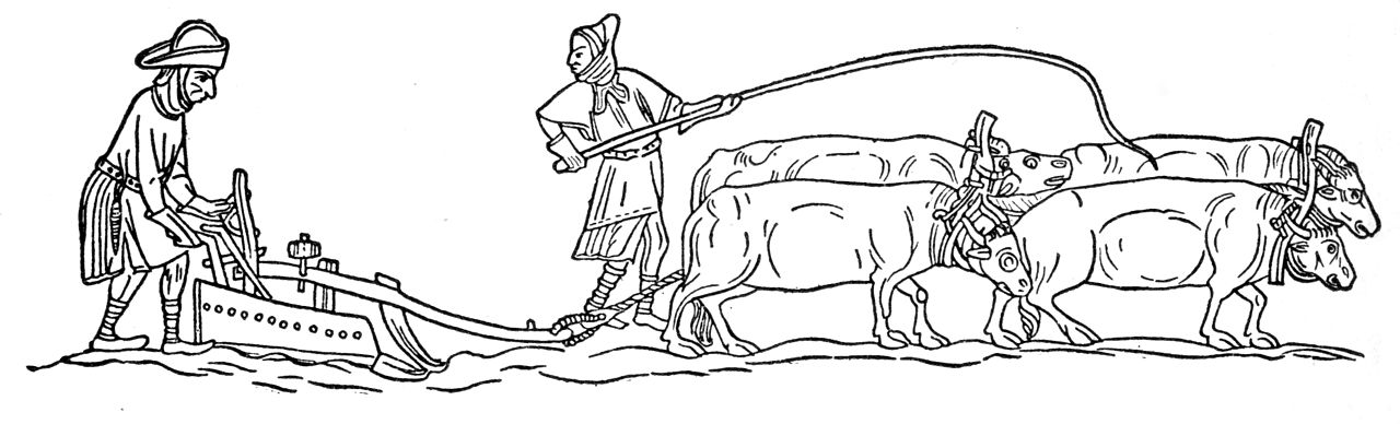
A traditional Medieval village was more or less self-reliant. The labourers grew the grain with the help of tools made by the local blacksmith and carpenter; the miller ground the corn into flour for the baker to make into bread; the brewer turned the barley into ale; the women milked the cows and spun and wove both the linen and the sheep’s wool into a variety of garments. And all were answerable to the Lord of the Manor or his stewards.
However, the shortage of labour resulted in changes to the traditional feudal system. Most people used to be villeins (not villains!) — they worked directly for the lord of the manor in exchange for a cottage and enough land to enable a subsistence living. Market forces enabled them to ask for wages, and those already receiving wages could demand more. With more money in their pockets some bought more land, and sold their surplus food in the markets at Lewes or Brighton.
Remote Downland villages such as Balsdean were ‘severely affected’. It shrank from a village to a small hamlet of two farms. Others disappeared altogether. This depopulation was not just due to famine and plague. Those in charge of this remote downland village would have struggled to meet these higher wage costs. Therefore a switch from a mixed arable to a much more specialised pastoral economy — the keeping of sheep — would be far more profitable enterprise. Sheep require far less labour to manage. But there would have been consequences.
However, without wheat for flour they would have to buy their bread, or at least the necessary ingredients, from the weekly markets either in Lewes or Brighton. Shops at this time were more or less non-existent. Kingston would have used Lewes market, but Balsdean probably looked to Brighton to supply its needs. It was part of Rottingdean, and Rottingdean had been part of the same hundred (a collection of villages for administrative purposes) as Brighton.
Needless to say, there were many new business opportunities available in our towns and cities. Many made their fortune as entrepreneurs, including the real-life Dick Whittington, who was born shortly after the Black Death. Though he wasn’t poor and didn’t have cat, he did make his fortune in London as an importer and exporter of fine cloths, including much sought after fine English wool. Balsdean may have looked to supply weavers with fleeces, though possibly not of the high quality demanded by Richard Whittington.
Brighton, as a market town steadily grew, and with its newfound money was able to invest in fishing boats capable of exploiting lucrative North Sea cod and herring. Tough, dangerous work, but the rewards were substantial.
Jugs of Ale Served by Joan or Judy
Meanwhile, all this enterprise would be thirsty work. Alehouses served ale or wine to increasing numbers of customers, no longer able or wanting to brew their own. The vessel they would be served in, shortly after the arrival of the Normans was called a ceac (pronounced cheyak or simply jack, like the boy’s name); Chaucer’s characters, created shortly after the Black Death, enjoyed “breed and chese, and good ale in a jubbe” (The Miller’s Tale); so some have suggested onomatopoeic origins — a name that sounds like the noise it makes — ‘jack-jack-jack…’, ‘jub-jub-jub…’. But the actual word jug first appears after Chaucer, in the 15th century, as a nickname for low class women generally called Joan, Jenny, or Judith, the sort of women who may have served ale in a jack or jub. It only appears as late as 1538 for the name of the vessel from which they would have poured the ale. My theory, in line with Wedgwood’s Dictionary of English Etymology, is that jug, as a vessel for pouring liquids, originated as a portmanteau or blend word, combining jack and jubbe with the nickname for the kind of woman who would have served ale or wine with it. Its derogatory use for women can be seen from certain quotations:
Ruff: I will give thee sixpence to lie one night with thee. Mer: Gogs heart, slave, dost thou think I am a sixpenny jug? Thomas Preston’s play, Cambyses, 1569.
Fool: Whoop Jug [1623 Jugge] I love thee. Shakespeare, King Lear, IV, 219.
…the sordid temptations of the jug and the bottle, … Robert South, Shamelessness in sin, the certain forerunner of destruction: in a Discourse Upon Jeremiah VI, 15.
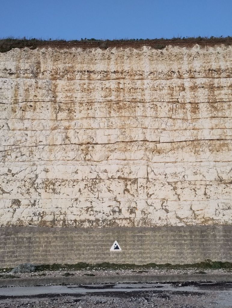
Undercliff Walk; chalk cliffs between Saltdean and Brighton Marina
On Saturday 18th May at 1pm I will be leading an undercliff geology walk starting from Saltdean. A four mile gentle walk and talk along the Undercliff Walk from Saltdean to Brighton Marina – a Geological Site of Special Scientific Interest.
You will hear about the chalk and flint rocks which give our downland walks their form and qualities. The chalk was laid down at a time of global warming, shortly before the extinction of the dinosaurs.
I have recently returned from a geological study trip to the Italian limestone Apennine hills and the Swiss Alps. From there I was able to learn and experience many of the processes and forces responsible for the formation and uplifting of our Downs.
I am not a geologist but I have been learning quite a lot over the past few years – some of which I have shared online on this blog. Chalk and flint are extraordinary substances.
Prehistoric people relied on the glassy flints to make their razor sharp tools. Later they learnt that striking flint with a piece of iron (such as the iron nodules sometimes found in the chalk) would create a spark that could be used to light fires. Today flint is used as a building material in Sussex walls.
Chalk absorbs water like a sponge. It means that streams are rarely found on the surface in our downland valleys. However, wells sunk down deep into our chalk provide all of our drinking water on the South Downs.
Behind Brighton Marina, immediately overlooking Asda car park is one of Britain’s best examples of Ice Age geology. It used to be called a ‘bone bed’ for it is full of mammoth, wooly rhinoceros, and the bones of other ice age mammals that roamed across our South Downs when it looked like frozen Arctic tundra.
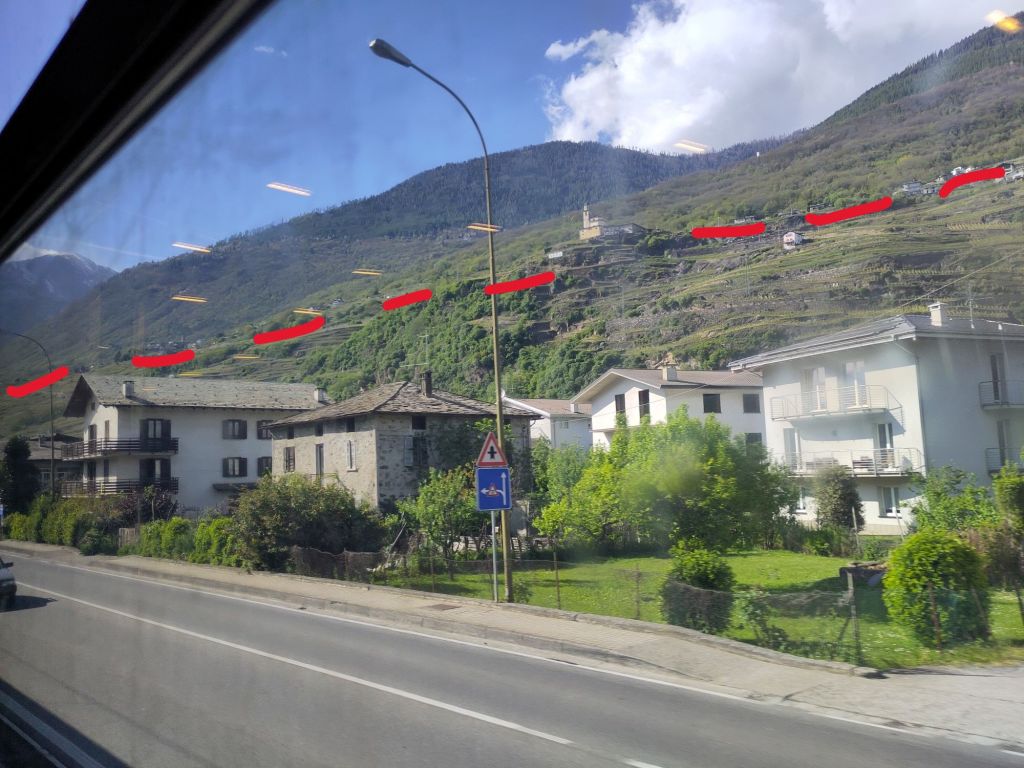
Chiesa di San Fedele a PoggiridentiFrom right to left: Parrocchia San Giorgio martire, chiesa di san Antonio Abate, Castel Grumello and the arrow marks Triangia villageSondrio town at the feet of the Linea Insubrica, with the tiny village of Triangia on the (former) tectonic fault line under the arrowLinea Insubrica looking north-west from Italy towards Switzerland – former tectonic plate boundary between Africa and Europe
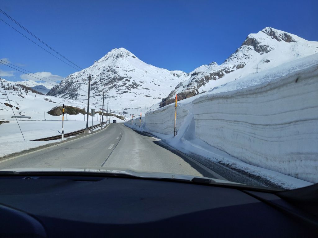
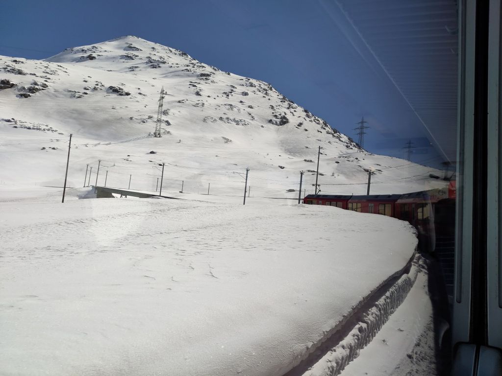
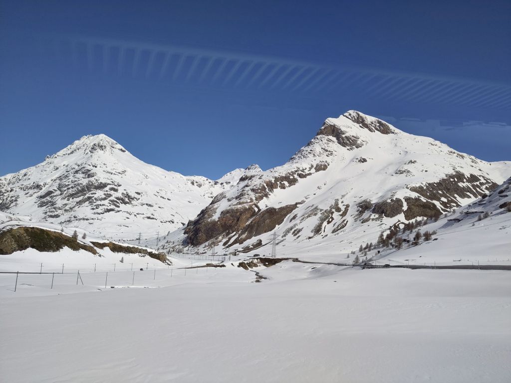
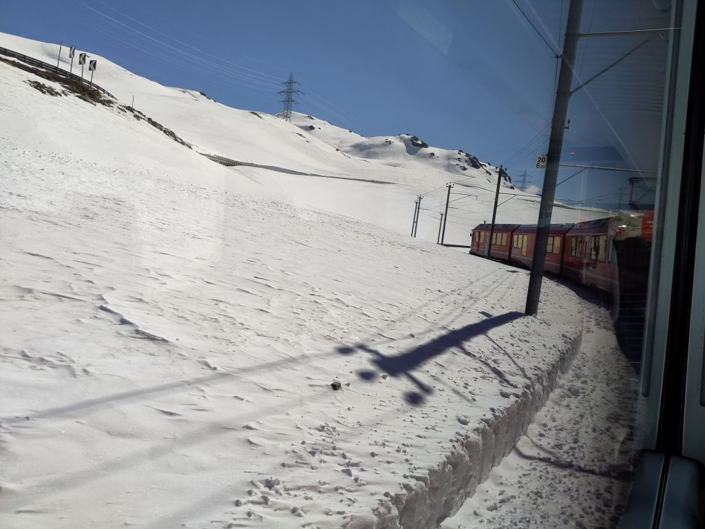
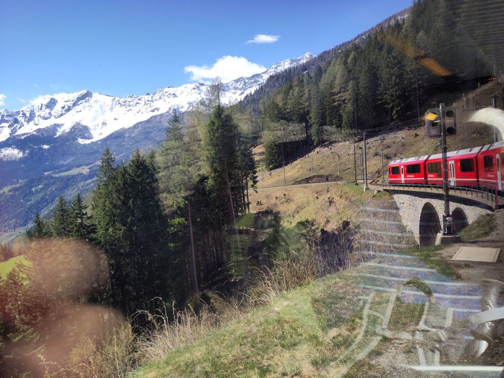
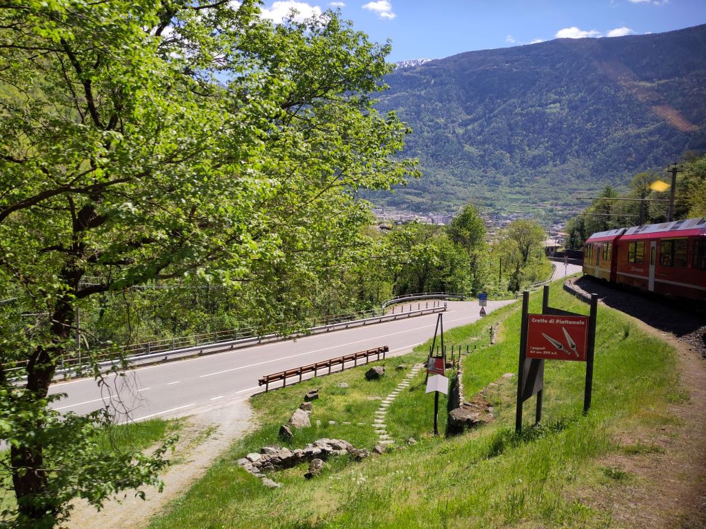
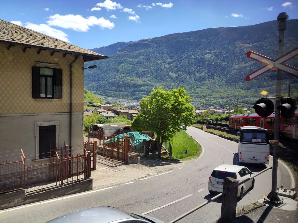
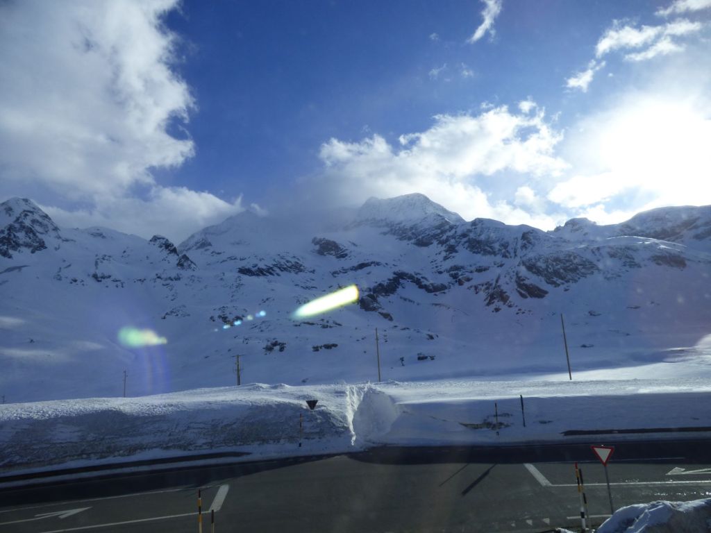
The start of my day was in the snow-bound Swiss mountain pass of Bernina, from which the train made its slow winding passage southwards down, round, across and through steep alpine hillsides towards sunnier climes.
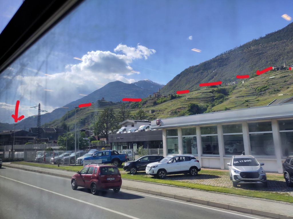
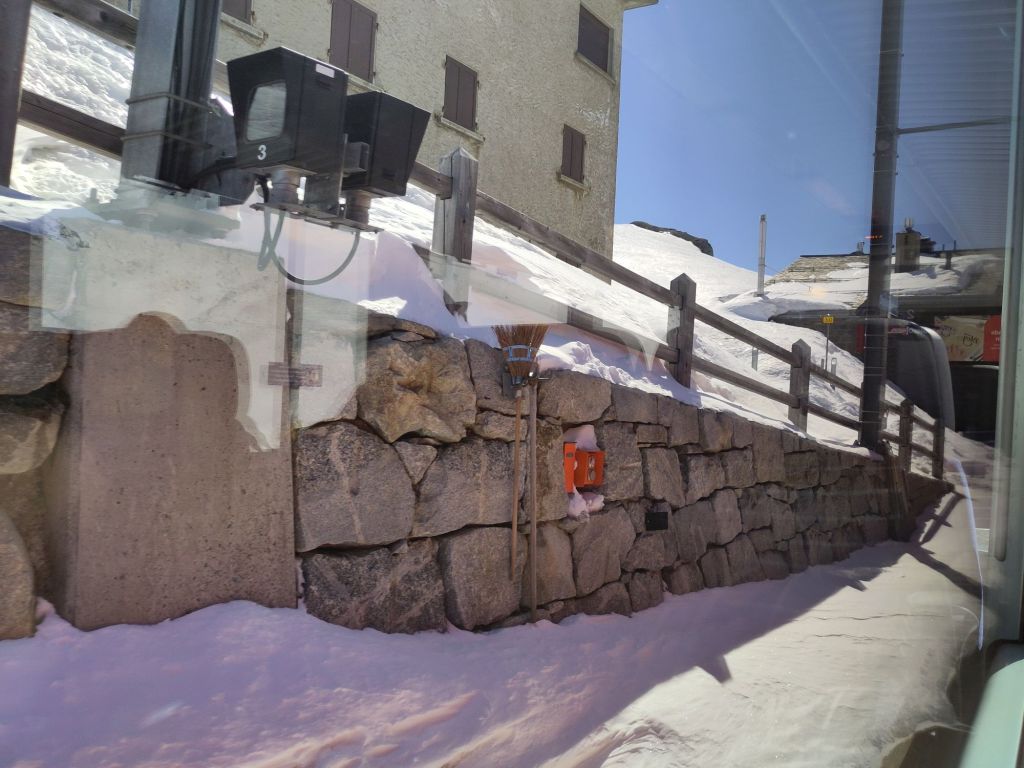
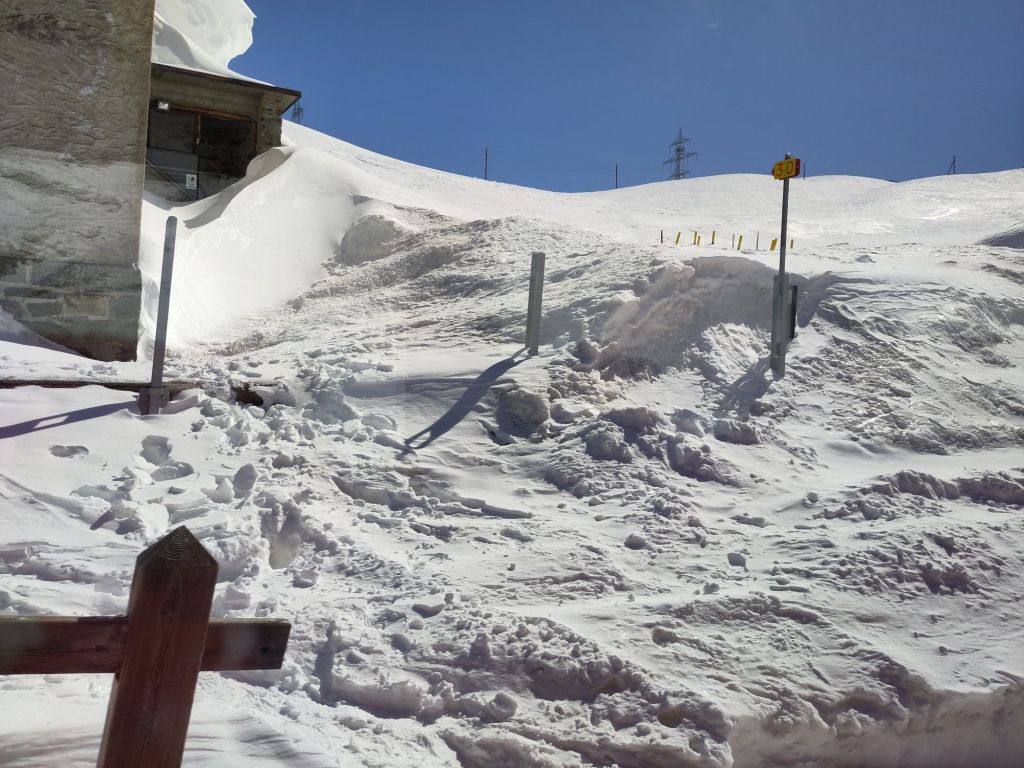
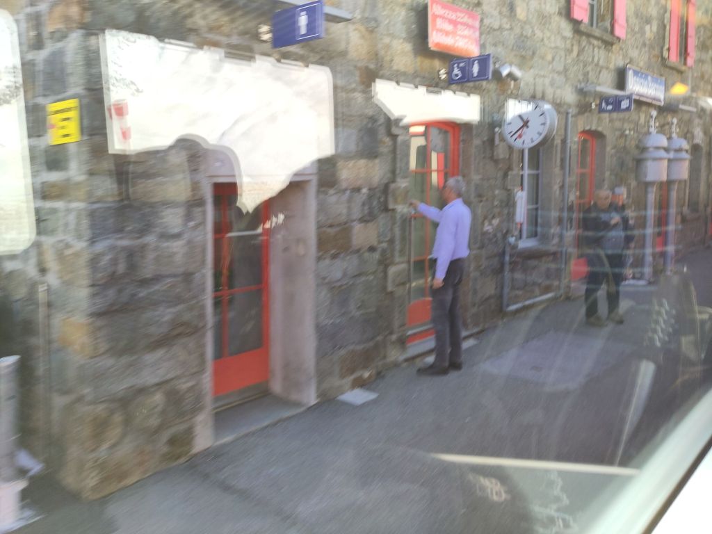
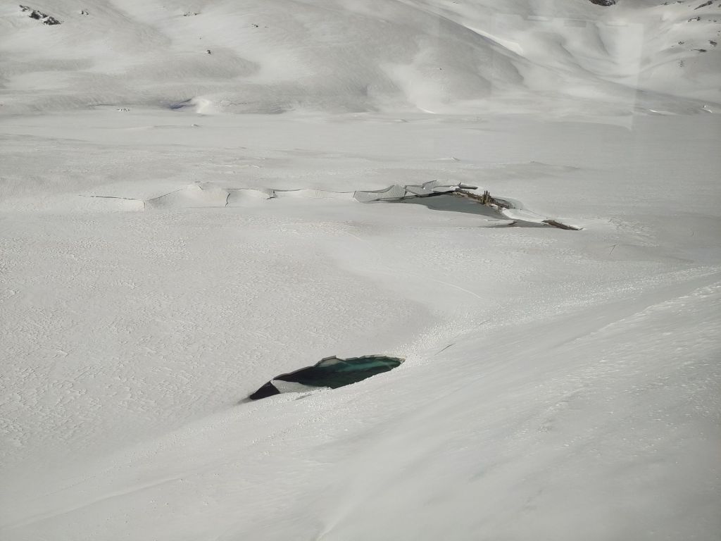
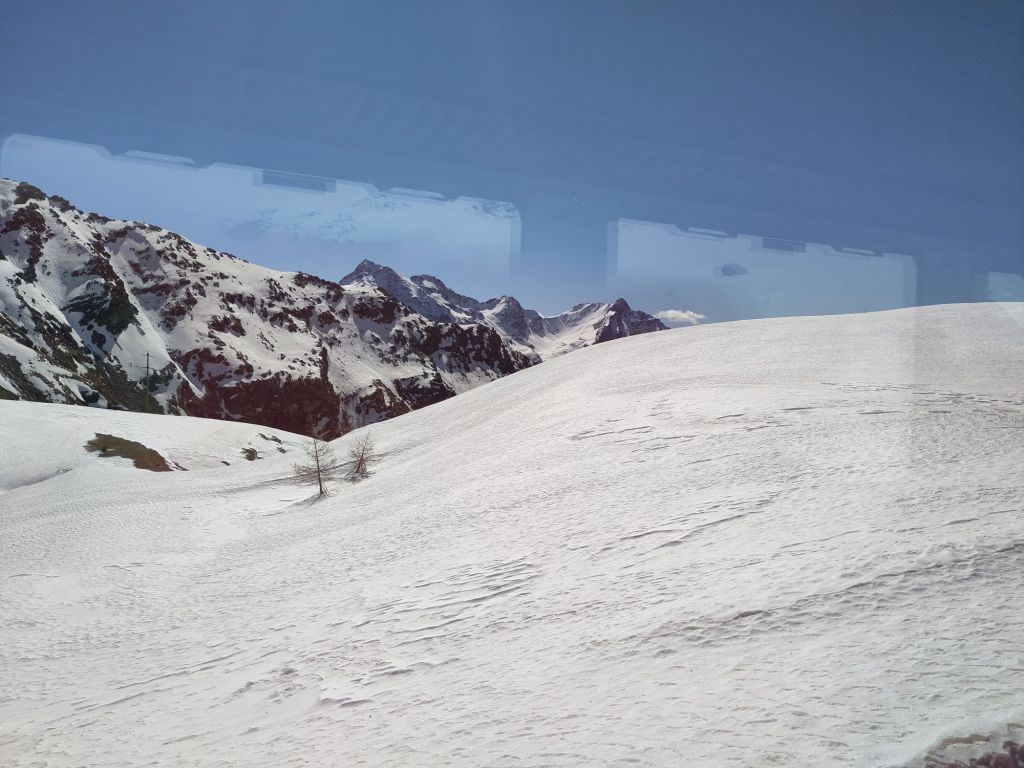
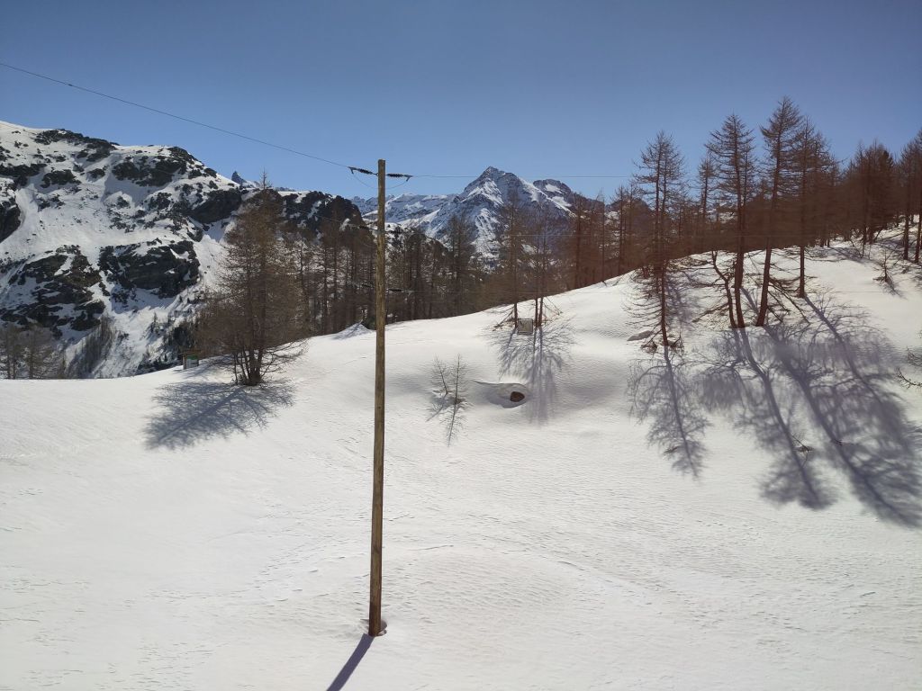
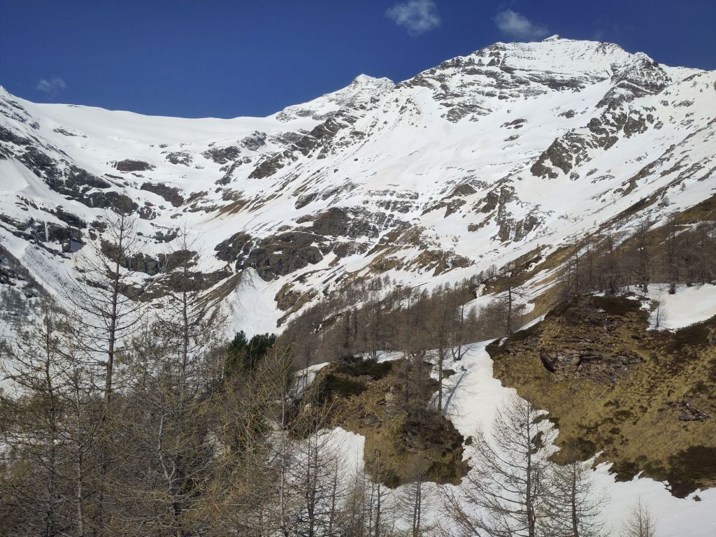
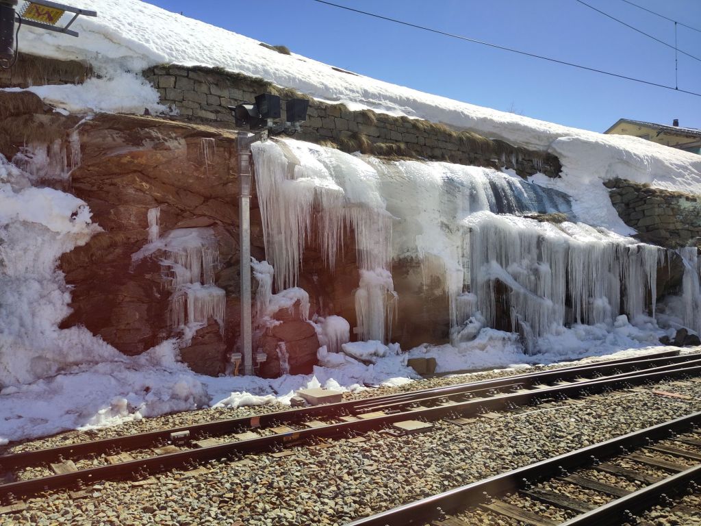
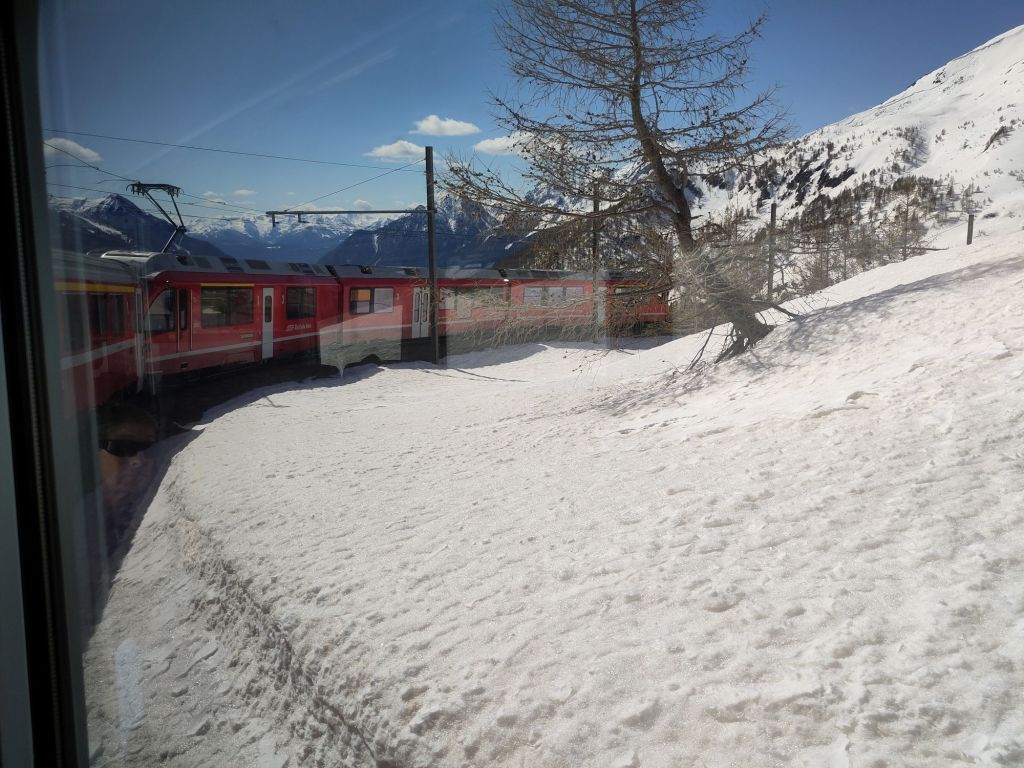
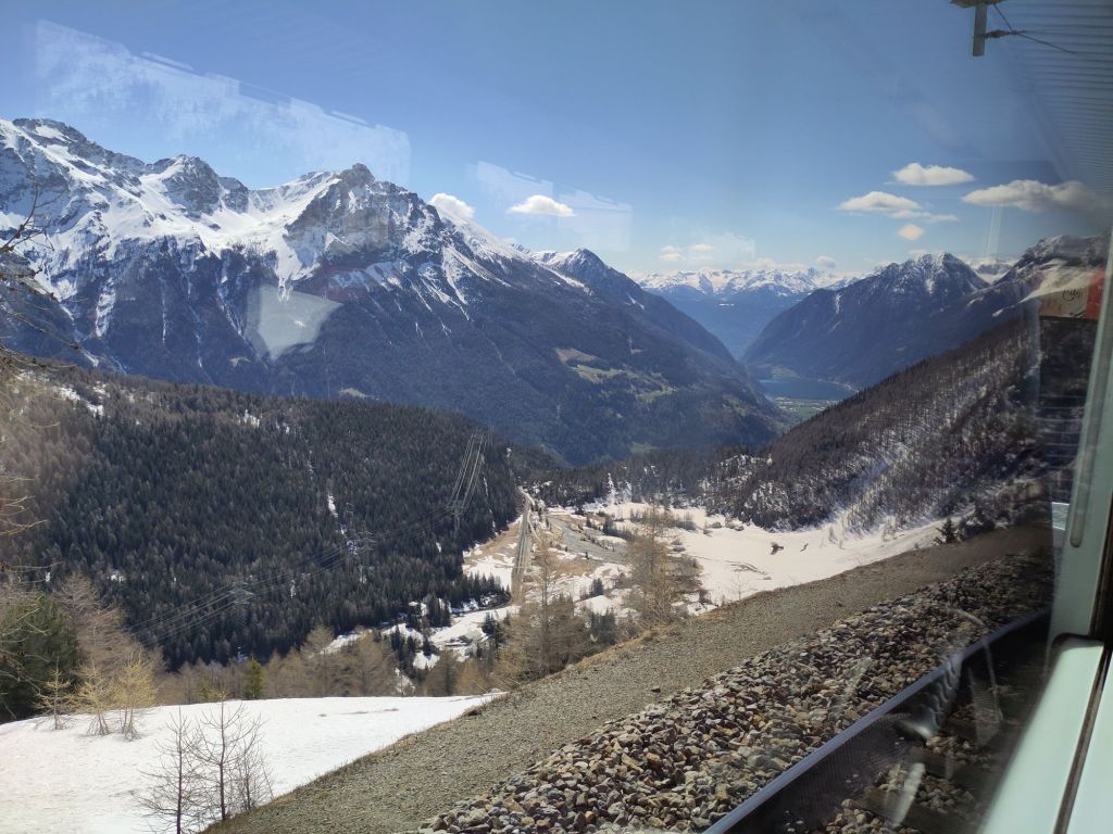
Driving away from Bernina Pass to an accessible train station Back on the train heading back towards Ospizio Bernina Station and cream coloured limestone rocksThrough a small tunnel and all I can see is a reflection of my luggage!The train slows at Ospizio Bernina Station And there are my footprints from yesterday heading up towards the hotel!Meanwhile they had cleared a new route through the snow to the station which has attracted huge crowds of passengers – about 6 – but they were not from the hotel and yet there is nothing else nearby! A mystery.Spring sun beginning to thaw the snow and ice covered aptly named Lago Bianco (White Lake)The first trees in almost 24 hours More trees Almost a forest Snow melt refreezes Around and down we slowly goAnd at the bottom in the far distance are the ‘Pre-Alps’ of Italy Grass begins to grow And we leave the Swiss winter cold for a beautiful warm Italian spring Italian Tirano in the valley bottom La dolce vita
And if you look very carefully, above the building and behind the trees are the Swiss Alps from whence I came.
The rest of the train journey was pleasant, with moments of excitement travelling parallel to the tectonic boundary called the Linea Insubrica or Periadriatic Seam. The kindergarten version of a very complex story is that millions of years ago Italy was a peninsula attached to Africa before the Mediterranean Sea existed. In its place was a sea called the Tethys which separated the continental tectonic plate of Africa (with Italy) from that Europe. The African ‘plate’ rotated and pushed the promontory that was Africa up against Europe. This forced the rocks at the point of collision to move (over a few million years) several kilometres upwards and up to 50 kilometres sideways. This was called the Alpine Orogeny. The after-shock ripples extended north and west all the way beyond the Basin of Paris to Brighton and London, uplifting the South and North Downs and lowering the London Basin (see Chalk 1, Chalk 2, Chalk 3 and Chalk 4) as well as other ranges of hills and valleys.
Meanwhile, the rotation of Africa closed the Tethys ocean, but then when it continued to rotate, it pulled away from Europe, leaving Italy behind and in the process opened a new sea called the Mediterranean.
As usual it should be noted that the details are complicated. The important thing to note was that passing the Linea Insubrica (on my way to a totally boring overnight stop in Milano) I was so excited it was hard for me not to tell all my fellow passengers all about it. I wanted to tell them I am returning here for a few days on my way home because it is one of the most exciting geological areas ever!! They just looked bored until the train arrived in Milan.
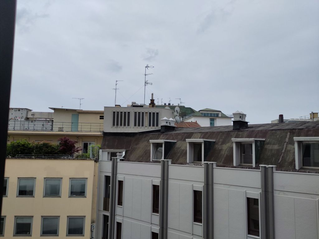
A little green oasis – a rooftop garden seen from my Smart Hotel bedroom in Milano
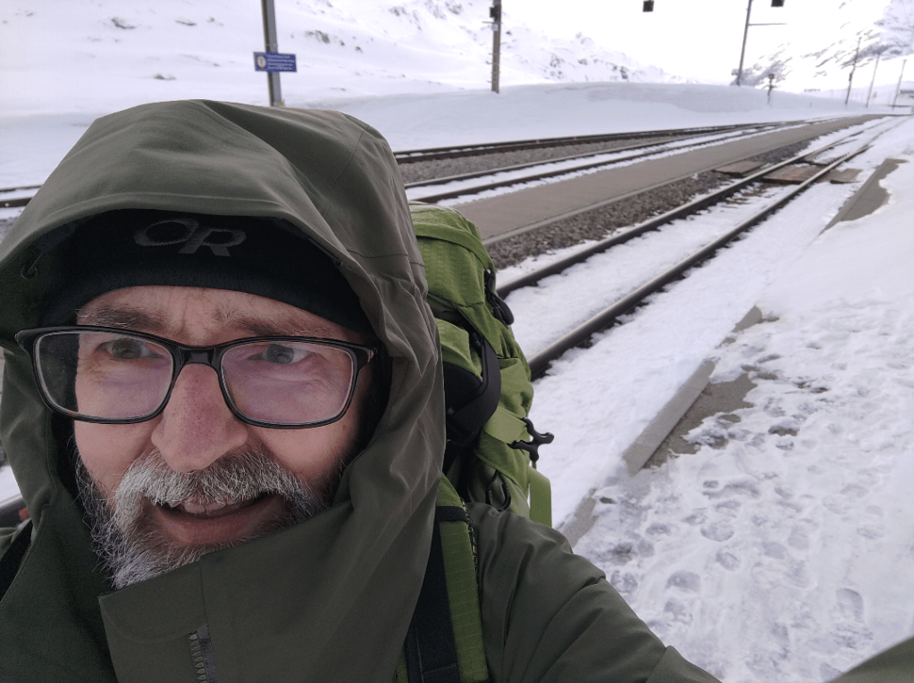
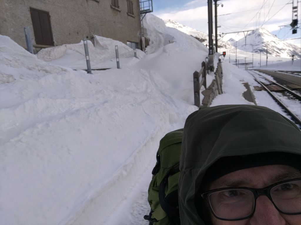
I had arrived at the railway station – the highest regular passenger train station in Switzerland. And it was totally deserted! The few icy footprints that were to be seen soon disappeared under deep drifts of snow. I quickly put on the rest of my winter gear. The temperature was literally not figuratively freezing cold. Without good gloves there was the potential for frost-bite. I had an emergency whistle, head-torch and mobile phone and made an epic attempt to climb up and out of the station.
Follow the ski tracks up and around the back of the station building.Did I mention it was a bit cold?! Snow almost to the top of the station rooftop. An easy 10 minute walk said the hotel website!
I had walking poles to help me probe the snow for drifts of unknown depth. I was grateful that my good boots were able to cut steps in the icy crust. I was also grateful for my mountain walking gaters that stopped the snow from getting into my boots when struggling through thigh deep stretches of looser drifts. After about 10 minutes or so the battery failed on my phone because of the cold. Luckily I had made good choices when I bought my winter gear. Only my fingers were cold. My fingerless gloves with just a little flap to convert them to mittens were not up to the job.
I was breathing like a steam engine going up a steep hill carrying a heavy load. I would like to think it was the altitude (2,328 m or 7,638 ft), but it was largely down to my lack of fitness. Somewhat disconcerting was that because of the rise in ground I couldn’t see the direction of the hotel until the last few yards. I had reached about a two metre snow drift with a vertical face, created by the snow plough at the edge of the road. Fortunately a notch had been cut into it so a very inelegant roll and flop dropped me safely back down to solid ground.
Looking back on my route from the hotel. The telegraph poles head down to the station.The metal triangle is the top of a road traffic sign marking the exit of a very large car park. My footsteps are just about visible dropping down into the gully.
I later read that when there is snow on the ground hotel guests arriving by train should get off at a station two stops back down the line and should have telephoned in advance for someone from the hotel to collect them by car. Where is the adventure in that?!
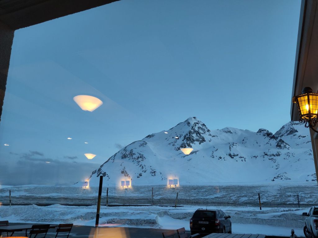
Hotel Bernina Hospiz was superb they had kept the feel of a traditional Swiss hostelry with a warm modern veneer to make it acceptable to a contemporary visitor. Walkers such as myself were welcome, and outside each bedroom was a very practical plastic tray on which to place one’s defrosting boots. The views from the hotel were stunning.
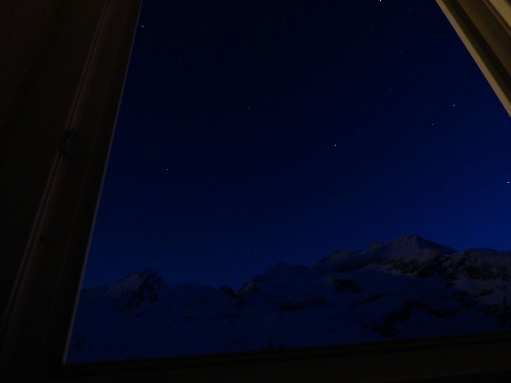
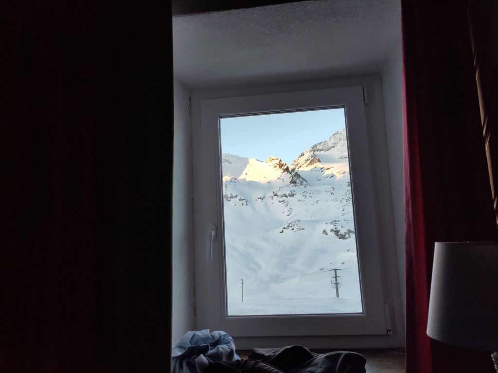
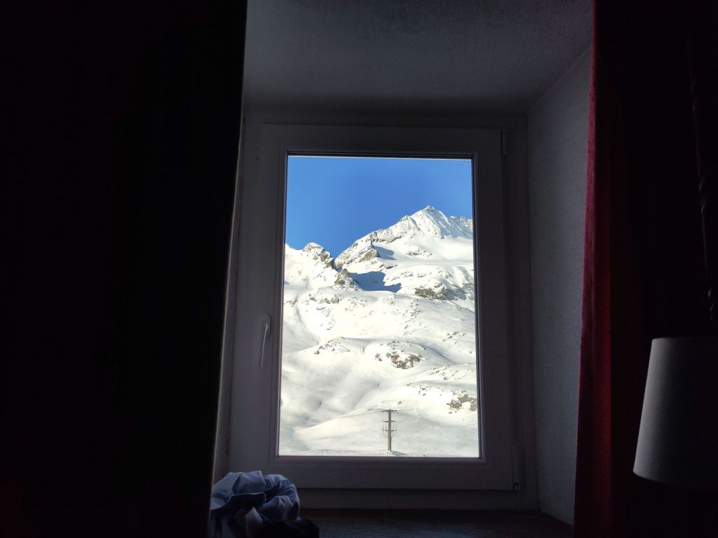
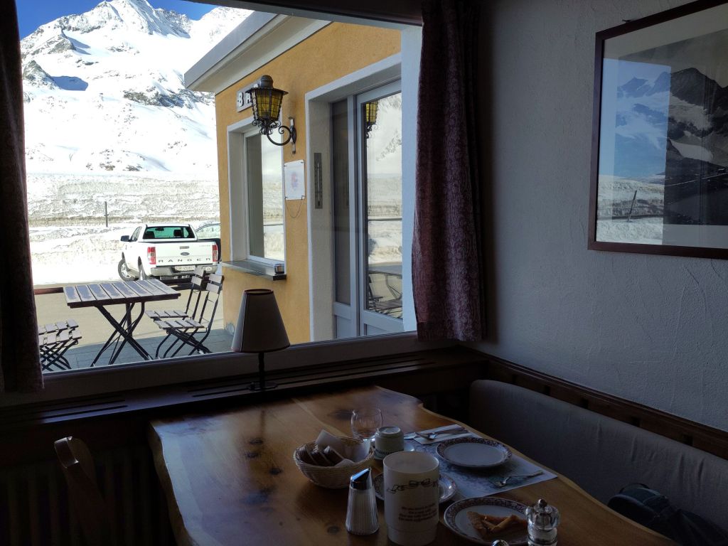
View from the dining room Stars over the Bernina mountains from my bedroom (click to enlarge)DawnMorning – time for breakfast!Coffee and other goodies 🙂An old photo of the hotel
And then it was time to leave. The wind had dropped, the sun was shining and I gratefully accepted a lift to a station that was accessible by car! A truly memorable experience which I would happily repeat. Adversity makes it easier to appreciate things that we normally take for granted.
Oh yes. Until this mountain pass, everyone spoke Swiss German. The hotel was the language boundary and the staff’s first language was Italian. Despite the snow I was on my way south…