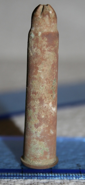
Last year, on a site visit, I found what I thought might have been a WWII live bullet. But when it was pointed out to me that it may be both dangerous and even illegal to possess I decided it was time to hand it in to the police.
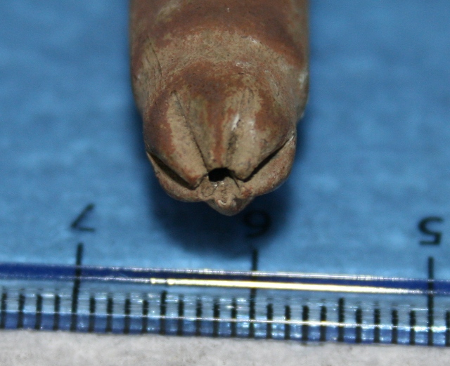
Before doing so I recorded it the best I could with just a simple ruler and a camera – and noticed what might be some writing on its green copper and rusty iron coloured corroded base. Being without specialist solvents, I chose to use some household methylated spirits to clean its base.
Rosette crimped blank .303 cartidge, made by The Royal Laboratory, Woolwich Arsenal, 1893-1904.Rosette crimped blank .303 cartidge, made by The Royal Laboratory, Woolwich Arsenal, 1893-1904.Rosette crimped blank .303 cartidge, made by The Royal Laboratory, Woolwich Arsenal, 1893-1904.Rosette crimped blank .303 cartidge, made by The Royal Laboratory, Woolwich Arsenal, 1893-1904.
                    Find      .303
Bullet diameter     ~8mm      7.9mm
Neck diameter       ~9mm      8.6mm
Shoulder diameter   ~10.5mm   10.2mm
Base diameter       ~11mm     11.7mm
Rim diameter        ~13mm     13.7mm
Rim thickness       ~1.5mm    1.6mm
Case length         ~54mm     56.4mm
My approximate measurements indicate this is a .303cartidge. The Headstamp – R ^ L C II – shows it was made by The Royal Laboratory, Woolwich Arsenal, 1893-1904, and was a Mark 2 cartridge with cordite as the propellant. The rosette crimped nose means it was a blank.
My research was entirely from the websites of passionate experts, the best of which I give below:
So how might a blank rifle cartridge marking the very end of Queen Victoria’s Reign and the start of the Edwardian Period get to be associated with a farm labourer’s cottage and farmyard? I need to do a little research but I recall seeing photographs of army camps in both Kingston and Falmer of around this time. My idea is that it was probably used in army training exercises on the Downs, children may have taken it, and hidden it, until it was found by me a hundred years later. The Davey family in the 1901 Census had no children, but by 1911 the 12 year old schoolboy Leonard Morris, nephew of Frederick and Fanny Moon, was staying in Newmarket Farm. He is definitely my favourite as the person who secretly possessed this dangerous treasure.
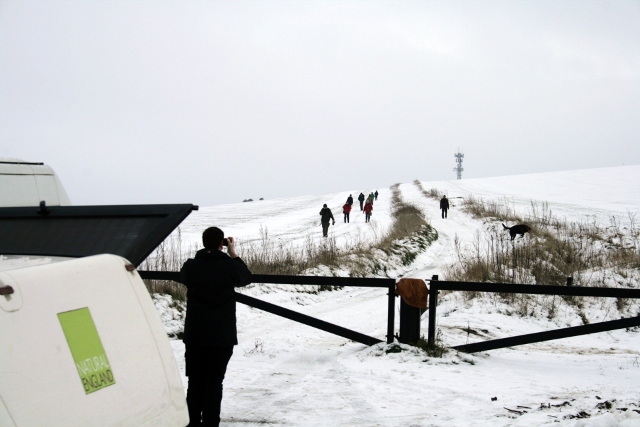
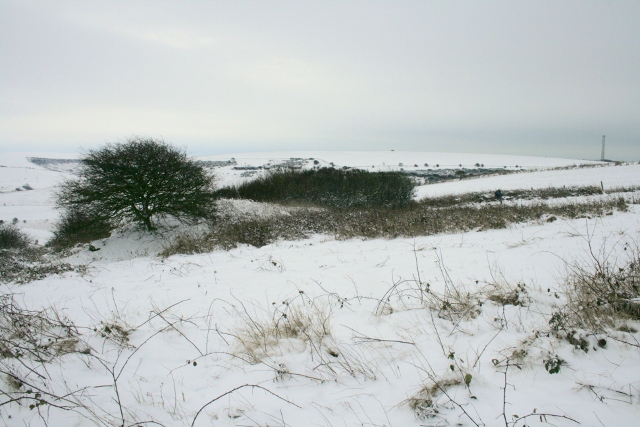
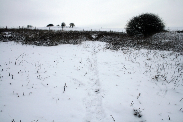
Just catching up on a post I meant to write a while back – the day after I surveyed the site in the snow.
Whilst the site itself was only covered in a shallow few inches of snow, the snow on the Juggs Road (Drove Avenue) just on the northern side of the ridge leading towards the top of Newmarket Hill had drifted considerably. Also, working on-site in slippery conditions whilst using sharp slashing tools is not sensible from a Health & Safety point of view so, after a quick look around and history lesson, we all went home!
Here I am making public the dates of my forthcoming volunteer dig days! The next three days are:
Location
When
Summary
Description
Castle Hill car park, Sea View Way, Brighton and Hove, Brighton BN2 6NT, UK
Sep 29, 2026 at 10:30 am – 11:30 am
Castle Hill Healthwalk
Castle Hill Healthwalk: Explore this stunning chalk grassland National Nature Reserve. (When conditions are muddy, and on the last Tuesday of the month, the walk follows an alternative route around Bullock Hill, opposite the reserve.)Meeting Place: Castle Hill National Nature Reserve Car Park, Woodingdean, off Falmer Road (B2123), just north of the junction with Bexhill Road. …
Castle Hill car park, Sea View Way, Brighton and Hove, Brighton BN2 6NT, UK
Oct 6, 2026 at 10:30 am – 11:30 am
Castle Hill Healthwalk
Castle Hill Healthwalk: Explore this stunning chalk grassland National Nature Reserve. (When conditions are muddy, and on the last Tuesday of the month, the walk follows an alternative route around Bullock Hill, opposite the reserve.)Meeting Place: Castle Hill National Nature Reserve Car Park, Woodingdean, off Falmer Road (B2123), just north of the junction with Bexhill Road. …
We work on site every Friday and Sunday, 10am-4pm, from April to December 2013. Volunteers and other visitors are most welcome. We meet at the Falmer Road Car Park, Woodingdean (just N of the junction with Bexhill Rd) but please contact me beforehand in case we have to cancel for any reason.
Detailing my archaeological plans, trench by trench, has enabled me to realise just how much work will be involved in order to better understand how the cottage may have functioned:
Newmarket Cottage Trench Plan 2; January 2013. Base plan from East Sussex Record Office.
Find NE corner of garden boundary wall (1x1m trench on corner & extend if required to max 2x2m)
Find S boundary wall junction; including corner of farmyard & garden & possible garden structure (1x1m trench on estimated junction & extend if required to 3x2m)
Find junction of the internal wall between the house, garden and the N boundary wall, including parts of the farmyard on one side and the outside toilet on the other (1x1m trench on estimated junction & extend if required to 3x2m)
Find SW corner of water tank on boundary wall (1x1m trench & extend if required to 2x2m)
Find NW corner of water tank on boundary wall (1x1m trench & extend if required to 2x2m to join up with previous trench – this is an important feature to locate)
Find SW corner of house on boundary wall (1x1m trench & extend if required to 2x2m)
Find NW corner of house on boundary wall (1x1m trench & extend if required to 2x2m)
Find a possible internal house wall line on W side of house; may have been an extension to S of house (1x1m trench increased to 1x3m if required – it would become an extension to the trench to find the SW corner of the house)
Find internal house wall lines on W side of house; between main downstairs rooms (1x1m trench increased to 1x3m if required)
Find internal house features on W side of house; possible pantry and stairway (1x1m trench increased to 1x3m if required – would become an extension to both the previous trench and the one to find the NW corner of the house)
Find front door to house (2x1m trench enlarged to 3x1m if required – may become an extension to the trench to find the NW corner of the house)
Find front garden gate – possibly opposite front door of house (2x1m trench enlarged to 3x1m if required – may also locate NE corner of outside toilet)
Find NE corner of house, including ‘wood-shed’ (2x1m trench enlarged to 3x1m if required – this may become an extension to the trench to find the front door to house)
Find SE corner of ‘wood-shed’ & projection of E side of house, possible back-door and internal house wall (2x2m trench enlarged to 3x3m if required)
Find door in internal house wall (2x1m trench enlarged to 3x1m if required – may become extension of trench to find W end of this internal wall)
Find fireplace (2x1m trench enlarged to 3x1m if required)
If I start at the beginning of March, and manage two trenches per month, then I would have finished an investigation of the internal features of the house by the end of October.
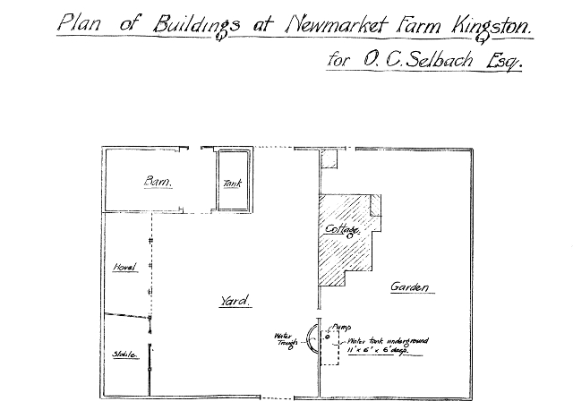
The location of the outside toilet has been disputed, between Lucy and Bob Phipps who lived there as children from 1934–1938. One recalled it as being next to the garden gate, the other as being next to the front door. Old Ordnance Survey maps and Mr Selbach’s plan show a suitable structure next to the front garden gate. Trenches 3, 7 and 11 may be able to confirm its location.
The other big target(s) is the “well(s?)” where both the Lathams’, and the Phipps’ got their water. However, this is shrouded in mystery! Neither family has been able to recall anything about a water-tank. Yet this is clearly marked on the plan found with Mr Selbach’s papers dating 1921. There is a patch of water-loving spearmint growing in a rubble filled depression in the vicinity of this tank. Trenches 4 and 5 are to attempt to determine the nature of this feature. It is always possible that Mr Selbach’s plan was for a proposed water tank that was never actually built, and the spearmint is growing on the site of a well. Bob Phipps recalled a shallow well, outside a window, to the south of the house. However, Anne Latham (who lived there from 1938-1942) recalled the well being outside the kitchen window to the north of the house. It may be that a geophysics survey, or even a dowser, may able to help with the location of an extra 1x1m trench or so.
Personally I am especially interested in locating the fireplace(s). There were two rooms downstairs described in 1868 as a kitchen and a wash-house. The wash-house would probably have been on the north side of the house, and the kitchen to the south, with a single dividing wall between the two. The nineteenth century cooking would have been on an open fire, and the wash-house would almost certainly have had a copper for heating water. This was common in agricultural cottages, especially in one so remote – there would be no neighbours to share laundry facilities with. I have not been able find anyone who clearly remembers the location of the fireplace(s). There were certainly none upstairs in the three bedrooms. Therefore a single central chimney would have been ideal; all three bedrooms would have benefited from any radiant heat; and the flue for the copper could have been on the opposite side of the kitchen/washroom wall from the kitchen fireplace and thus may have shared the same chimney. This is speculation though. Even if someone does have a memory of its location, we know from the outside toilet and the well/water-tank, that this information may not be reliable. Trench 16 has been planned to find its most probable location.
However, if the bulldozer driver was a little too active in this part of the house, there may be no evidence left of the fireplace. ‘Trench‘ 17 has therefore been planned for a systematic exploration (a partial excavation) of the large mound of demolition rubble to look for any chimney pots. This would be a very large target – about 28 metres long, several metres wide and a metre or two deep. It contains some very large pieces of masonry. The strategy would be to clear the demolition mound of its vegetation, and to strip it of some of the smaller debris, to search for identifiable chimney fragments. This could be a winter project.
Based on this first year of digging, a possible second year’s programme may be considered. This would involve excavating down through undisturbed archaeology. Possibilities include:
A possible rubbish dump in the SE corner of the garden
Waterlogged sediments, possibly 2 metres down, in the bottom of the ‘water-tank’
Construction details of the house (original and possible later phases)
A ‘railway’ that was recorded in a 1925 document (tracked wagons across farmyard?)
Farmyard surface(s)
Stable
Cattle ‘hovel’
Barn, including its 20thc extension, and its water-tank
Access tracks and paths (to Kingston in 19thc, to Balsdean, Woodingdean and Falmer in 20thc, also access to the field to the S of the farmyard)
Water-pipe from the well in Newmarket Bottom – which had a pumping engine – which possibly fed the water tank in the back garden, and/or the water-tank in the barn – this might be located by geophysics and not necessarily dug, except for those parts of it within the Newmarket Farm Dig site (Mr Selbach planned to have a large water tank up on the top of Newmarket Hill, which was to be filled from the well down in Newmarket Bottom, and which was to supply water to an housing estate on the SW side of Newmarket Hill – which he was prevented from building)
Possibility of a pipe to fill the water-tank with rainwater from the Newmarket Cottage roof, both before and/or after the Newmarket Bottom well pump which may have been in operation from just 1921-1925.
The last two excavation targets may possibly be revealed during this year’s programme of work to the south of the house. If something is found, it would be recorded, but it would not be followed down into undisturbed archaeology – at least not until a formal project plan review point was reached.
Rainwater guttering should certainly be looked for in the bulldozed mound of rubble.
My finds policy has yet to be planned – this will have to wait for another post – I need to get some expert advice on this.
Another hurdle has been cleared! Smiths Gore, who manage Brighton & Hove City Council’s farmland portfolio (including Castle Hill Nature Reserve), have obtained formal permission for me to go ahead with my excavation project.
There is now only one more permission to be obtained – namely that of being able to dig on a nature reserve of European significance. Luckily the reserve manager, Malcolm Emery, is dealing with this on my behalf. Because the site used to be a residence and farmyard, it is an area of high fertility (lots of poo and pee!), and therefore has become colonised by nettles and brambles. In the early 1950’s the area was bulldozed to make the site safe. This has very much reduced the biodiversity and ecological significance of this small corner of the reserve. Therefore further digging should not threaten the nature reserve’s conservation status in any way.
I have also started receiving offers of help from volunteers interested in being involved in an archaeological dig. This is excellent news! I need to decide on a fixed day once a month for volunteer days to be able to happen – sometime in March.
I was on site yesterday and it was good to see it again – without its earlier blanket of snow! I didn’t take any photos, but I did clean up a few fragments of wall that are visible – so it is now easier to show visitors the approximate ground plan.
The next clearance day may possibly be next Thursday – though this hasn’t been confirmed yet – it depends on the forecast, and whether Malcolm Emery has any higher priority jobs that need doing.
Time Team get a lot done in just 3 days – but they are professionals, and they know what they are doing. Their routines are just that – routine. What we see is really just the tip of a very efficient iceberg.
I found a guide to this archaeological routine in a publication by the Museum of London Archaeology, which they summarised (with a little simplification from myself):
Clean Area
Identify limits of trench [context] on the ground
Photograph if required
Identify location of trench on site grid
Draw plan of feature (at 1:20)
Use relevant type of ‘context sheet’ to record archaeology (depends on what is being excavated)
Give the trench [context] a unique number (from site context register)
Record this number on the plan(s)
Take relative levels; mark spot heights on plan (record technical surveying details on reverse of context sheet)
Convert relative levels to absolute [Ordnance Datum] levels
Describe context
Prepare ‘finds bag’ and enter site code and context number on label(s?)
Determine suitable method of excavation, need for sampling and method of finds collection
Excavate context, amending and adjusting description as necessary
Take finds to an appropriate place
Determine relationships of newly-recorded context to previously excavated [by overlaying plans]
Cross-reference relationships on context sheet and fill in matrix
Enter date and initials on context sheet
Place plan and context sheet in with relevant ‘to be checked’ files
All plans, context sheets and relationships should be checked before leaving site
Once the context (trench) has been recorded, and the finds have all been fully described and recorded, the trench needs to be put to bed, and then it must *all* be written up, including their interpretation. Only then is it advisable to open the next trench, based on what has been learnt from the previous trenches.
This is all new to me, so it may take days, or even weeks to complete all the paperwork. This is not a full time project. So I am proposing that volunteer days should be planned for one day per month, at least to begin with.
Happier now! In my last post (pun not intended!) I realised I needed to read about Project Planning in general. As a result I realised I was trying to put my cart in front of the horse; I was trying to timetable an hypothetical end point of one year, and then working backwards towards how to get there, and getting lost along the way.
Instead I tried brainstorming each of the outcomes I hope to achieve – one trench at a time – mini project stages in and of themselves – and each following on from the one before.
And it seems to have worked – apart from the timescale part (I can deal with that later) – and so it is that I now have a provisional list of targets:
Find NE corner of garden boundary wall (1x1m trench on corner & extend if required to max 2x2m)
Find S boundary wall junction; including corner of farmyard & garden & possible gdn structure (1x1m trench on estimated junction & extend if required to 3x2m)
Find SW corner of water tank on boundary wall (1x1m trench & extend if required to 2x2m)
Find NW corner of water tank on boundary wall (1x1m trench & extend if required to 2x2m)
Find SW corner of house on boundary wall (1x1m trench & extend if required to 2x2m)
Find NW corner of house on boundary wall (1x1m trench & extend if required to 2x2m)
Find internal house wall lines on W side of house (three 1x1m trenches increased to 1x3m if required)
Find front door and front garden gate (two 2x1m trench enlarged to 3x1m if required)
Find NE corner of house, including ‘wood-shed’ (2x1m trench enlarged to 3x1m if required)
Find SE corner of ‘wood-shed’ & projection of E side of house, possible back-door & internal house wall (2x2m trench enlarged to 3x3m if required)
Find door in internal wall (2x1m trench enlarged to 3x1m if required)
Find fireplace (2x1m trench enlarged to 3x1m if required)
Clear vegetation on mound of demolition rubble & look for chimney pots
Newmarket Cottage Trench Plan; January 2013. Base plan from ESRO.
This only provisional – but I have to start somewhere.
Looking SE at Newmarket Cottage site in snow; January 21st 2013.
I like snow – so am looking forward to helping clear the rest of the site of its brambles, etc tomorrow – in about 10cm or more of snow! Malcolm Emery, the Reserve Warden, agreed with me that we should go ahead as planned – unless it snows again in the night.
Looking N towards cottage site in brambles on right; January 21st 2013.
I was up on the hill today finishing off marking the major boundary wall junctions using Selbach’s 1921 plan and existing sections of wall lines as a guide. When I started this morning I had just one corner, a projected wall junction, and a half cleared site covered in snow. By the end of the day I had four corners and the two junctions of the internal garden/ farmyard wall. The northern boundary wall appeared to be a couple of meters further south than I expected – which meant it was well inside the modern fence-line. The south-west corner just kissed the modern fence-line. So the complete farm-site may well all be located within the Nature Reserve boundary.
Looking East along northern site boundary; January 21st 2013.
And the best thing of all – after estimating the directions of each of the walls, and attempting to measure off the distances from corner to corner – the corners were only a metre out, which for me is pretty bloomin’ good!
My (nearly) 13 year old niece and my mother, braved the cold to help me find out whether a plan of Newmarket Farm which we had was an accurate representation of the archaeology on the ground. The plan was a copy of the one that was found in documents held in East Sussex Record Office, and was probably drawn in 1921 when Oscar Selbach bought Newmarket Farm.
1921 Selbach plan of Newmarket Farm. From ESRO
The overall aim of the day’s work was to perform (some of) the tasks required to be done before being able to mark the area of the archaeological dig site, approximately 3m beyond the boundaries of the Newmarket Farm site. The extra 3m is to provide public access as well room to place the spoil from the trenches.
The area of the site needs to be marked out before the next date which has been planned for the clearance of the rest of the site.
Based on the dimensions given for the water tank, the scale of the plan has been estimated, and has therefore enabled the lengths of the wall lines to be meassured. My measurements were independently confirmed by my niece.
The next objective was to identify two fixed points of archaeology on the ground to check the accuracy of Selbach’s plan. Previous to the site clearance work of the 9th January, only the SE corner (bottom right on the plan) was visible and some isolated portions of the south and east boundary walls. During site clearance a small portion of the wall which divided the garden from the farm-yard was revealed. Therefore our next task was to uncover enough of this wall to be able to estimate where it met the southern boundary wall, somewhere near a small elder bush.
Looking E at my niece & myself finding the wall-line between garden and farm-yard; 13th January 2013.
Did I say that it was cold! Also, almost all of the existing line of the wall was buried under a thick mat of bramble and stinging nettle roots. No wonder Time Team makes it look so easy – they have a mechanical digger to do this part!
Looking SE at my niece & myself finding the wall-line between garden and farm-yard; 13th January 2013.
But with hard work and perseverance we managed to expose enough of the wall to estimate that it met the southern boundary wall immediately to the east (left) of the elder bush.
Next, Selbach’s plan indicated that the distance from this point to the SE corner of the garden boundary wall was about 52.5 feet. When we meassured this on the ground it was found to be about 52 feet. Therefore we felt able to (provisionally) conclude that Selbach’s plan could be used as a guide to estimating the lengths of the other walls.
Just before we left I quickly measured the distance between the elder and the SW corner of the house, and marked it with a peg. There was no sign of any change in ground level in the vicinity of this point. Selbach’s plan will therefore be very importantant for any future attempts to locate archaeological targets on the ground.
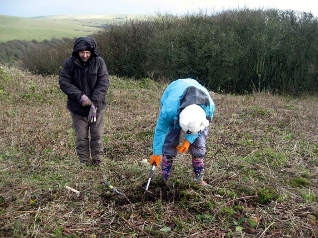
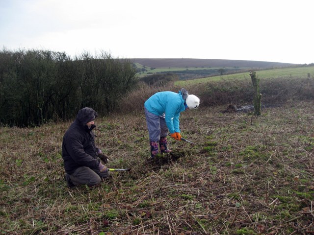
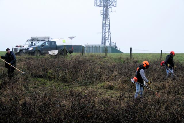
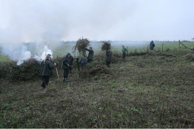
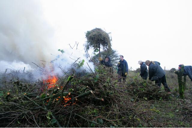
Thanks to Malcolm Emery and a couple of colleagues from Natural England, as well as a group from the South Downs Volunteer Ranger Service, at least half the site was cleared yesterday (Weds 10th January 2013), and a second day has been planned to complete the job.
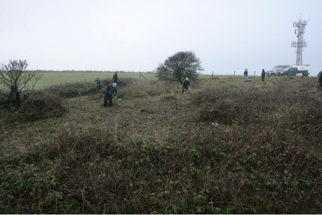
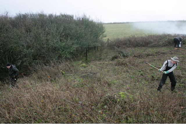
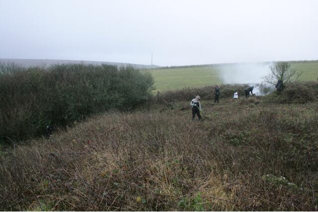
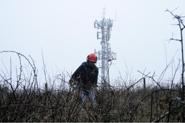
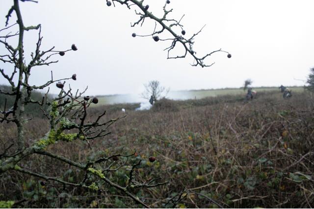
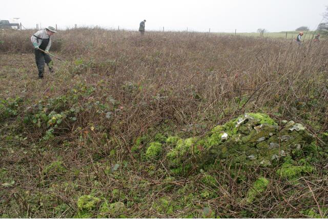
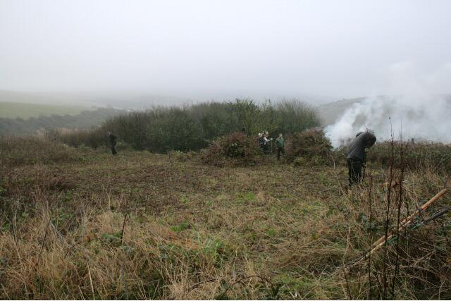
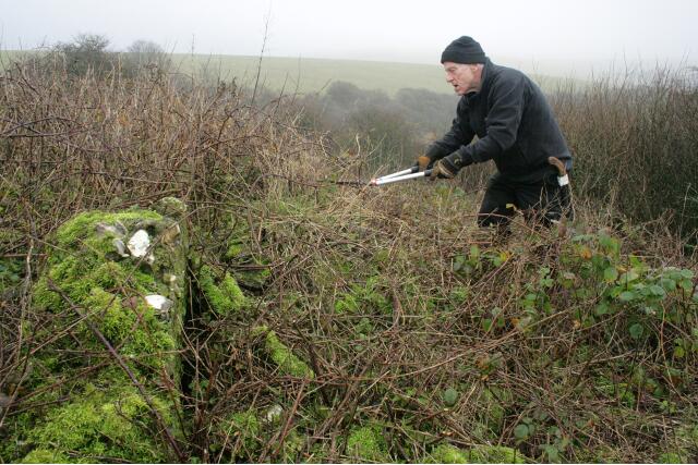
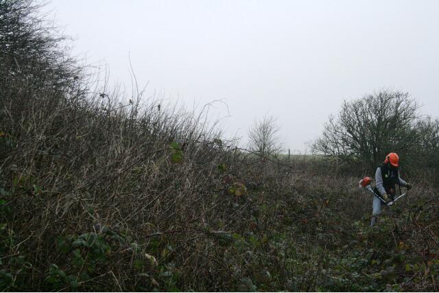
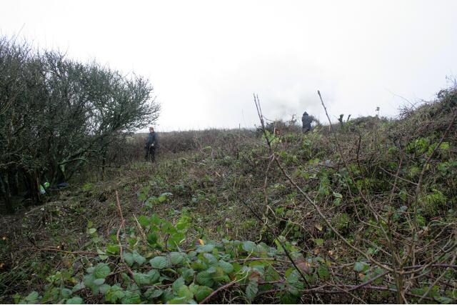
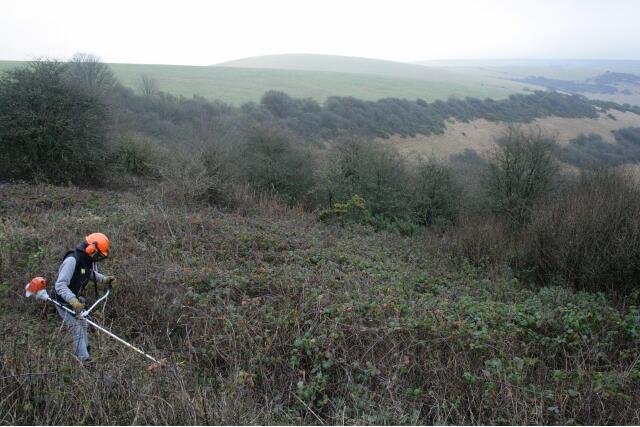
View WSW from demolition rubble mound E side of the house site looking SW across back garden towards S farmyard boundary between the trees left and centre; 10th January 2013.Looking slightly W of S from bulldozed mound of rubble to E of house site looking towards SE corner of the garden just under the Prunus scrub; 10th January 2013.Looking S along bulldozed mound of demolition rubble partially hidden by brambles. The side of the house would have been on the right of the picture. The small elder bush to the right of the fire marks the junction of the wall dividing the garden to its left from the farmyard to its right, and the wall which bounded both to the south; 10th January 2013.Clearing NW corner of the site, the site of a barn. Looking towards what has become an a major landmark – a television aerial marking the top of Newmarket Hill; 10th January 2013.The chap on the right is raking the mowings, which were burnt. Removing the debris reduces the fertility of the soil, which reduces the vitality of the rank vegetation; 10th January 2013.Looking W at Newmarket Farm site being cleared of brambles; 10th January 2013.Photo taken from within the house site looking to the SW at elder bush marking site of S end of wall dividing house and garden. The chap on the right is Malcolm Emery, taking a welcome break from his desk; 10th January 2013.Taken from under the spreading hawthorn near the NE corner of the house site, looking slightly west of south, with the elder (centre back near the fire) marking the site of the back wall between garden and farmyard; 10th January 2013.A view of the site looking to the NW with a piece of demolished masonry revealed from under the brambles; 10th January 2013.View from location of barn on NW side of site looking SE across the farmyard towards distant Prunus scrub marking SE corner of the garden; 10th January 2013Volunteer clearing back some of the vegetation from the mound of demolition rubble, just inside the east boundary wall of the garden, looking E – upright piece of masonry is not in situ – 10th January 2013.Looking N towards the NE corner of the site, just outside the garden wall, clearing the vegetation about 3m wide of the site boundary to allow for public access as well as room for spoil from any trenches; 10th January 2013Looking S towards SE corner of the garden boundary wall just under the Prunus scrub; 10th January 2013View beyond the site, towards Castle Hill to the NE, from on top of the mound of demolition rubble; 10th January 2013Looking approx WSW from SE corner of house towards distant hawthorn near SW corner of farmyard showing surface contours of site being revealed; 10th January 2013
The farmyard, in the centre of the photo, was discovered to be on a terrace, with the farm buildings – stables and cow barn – at a higher level (to the right), and the garden at a lower level (to the left).
Photo taken approx SE corner of house site looking SW towards tree stump marking junction of dividing wall separating the garden on left, from the farmyard on right where it met the S property boundary; 10th January 2013.Looking NW at site clearance by burning of the cut vegetation; 10th January 2013Looking NW at burning of wet vegetation; 10th January 2013
It would have been nice if the cleared vegetation had been removed from site and composted. Better for the environment. But it would have involved a lot of work, a lot more transport, and a lot less of the site would have been cleared.