

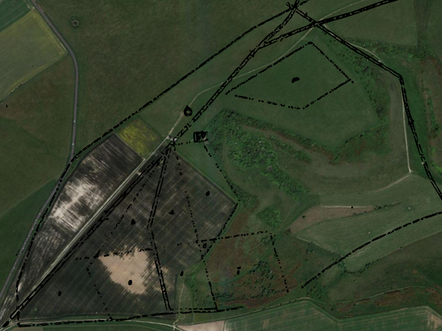
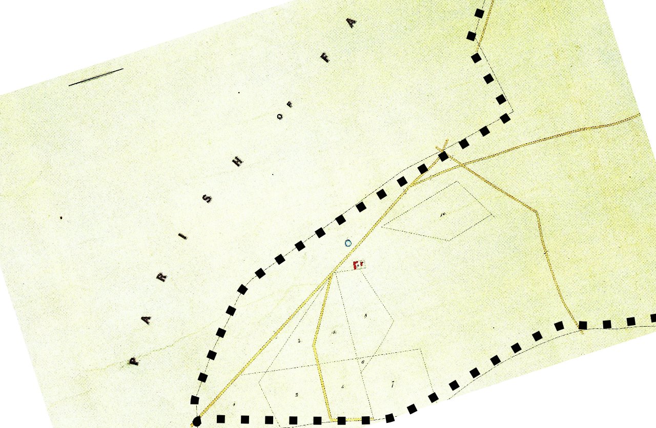
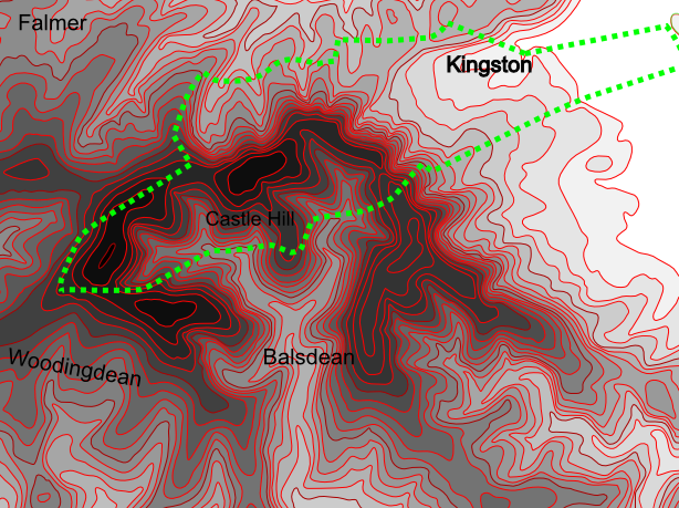
I recently found a new website with maps, which was given the fantastic acronym of MAGIC. I am always looking out for (free) online sources for maps. I have always loved maps. And now the abilities of free software – such as Gimp, an Open Source alternative to Photoshop, or Inkscape, an Open Source alternative to Corel Draw – to create transparent overlays, have enabled me to compare changes in the historic landscape that would otherwise have been difficult to do. As an unfunded amateur I have very little money or other resources with which to conduct my researches, so freely accessible maps and related images are always welcome. A few very useful sources that I have found are:
- http://magic.defra.gov.uk/
-
The MAGIC website provides authoritative geographic information about the natural environment from across government. The information covers rural, urban, coastal and marine environments across Great Britain. It is presented in an interactive map which can be explored using various mapping tools that are included. Natural England manages the service under the direction of a Steering Group who represent the MAGIC partnership organisations.
- http://maps.nls.uk/
- Although this site is Scottish, it includes excellent maps of the rest of Britain.
- http://www.thekeep.info/map/
- East Sussex maps, including HER (historic environment records), and Tithe maps.
- https://www.old-maps.co.uk/#/
- Old Maps website have an excellent range of detailed old O.S. maps.
- https://www.google.co.uk/maps
- The new old faithful – Google Maps – with its excellent satellite images.
- http://www.bing.com/maps/
- Bing Maps have excellent bird’s eye aerial photos.
- http://www.envf.port.ac.uk/geo/research/historical/webmap/sussexmap/Yeakell_36.htm
- Last but not least in this list, Yeakell and Gardner’s excellent late 18th century maps of southern Sussex.


One reply on “Magic Maps”
[…] Magic Maps; Posted on December 11, 2014 […]