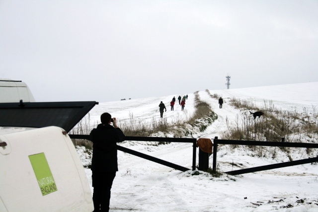
Just catching up on a post I meant to write a while back – the day after I surveyed the site in the snow.
Whilst the site itself was only covered in a shallow few inches of snow, the snow on the Juggs Road (Drove Avenue) just on the northern side of the ridge leading towards the top of Newmarket Hill had drifted considerably. Also, working on-site in slippery conditions whilst using sharp slashing tools is not sensible from a Health & Safety point of view so, after a quick look around and history lesson, we all went home!
I wasn’t sure until recently the best way to mark out the Archaeological site boundary.
I know from experience that light weight string gets caught up in brambles and that it easily gets tangled, it can trip people up and can easily get accidentally cut.
Heavier duty rope would be better, but would be expensive, and heavy to carry.
Hazard warning tape is another possibility, but it draws too much attention to itself – I would only want to use it when there is a real need to keep people out of an area – which in this case I do not.
I knew that surveyors on Time Team used a spray paint but I wasn’t sure how permanent it was, or toxic – I would be using it on a nature reserve. However, a little Googling on the Internet and I found a spray paint called SylvaMark. This has been approved for use by English Nature (Natural England‘s predecessor) on their own reserves, and after reading the blurb, it looks exactly what I want. I chose a blue colour since it was less fluorescent than the others and a type that only lasts a couple of weeks or more. It should arrive by the end of the week. I just hope the weather stays dry enough for me to be able use it before the next site clearance day.
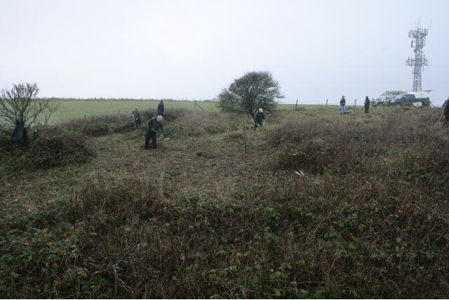
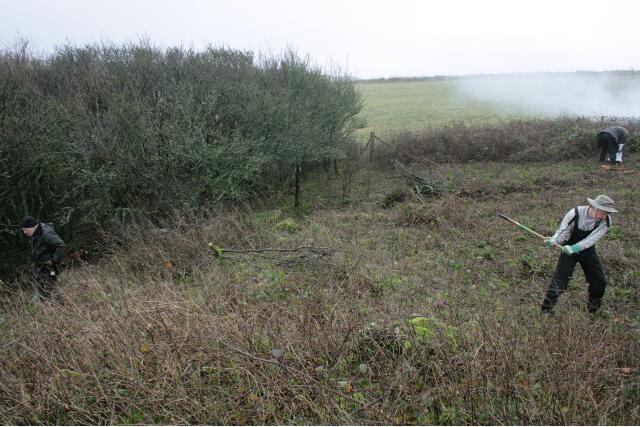
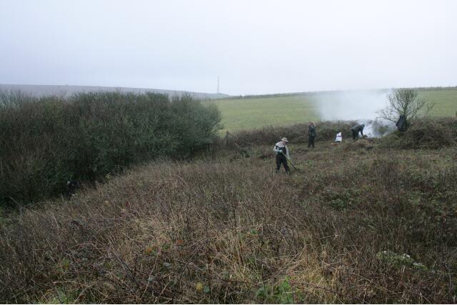
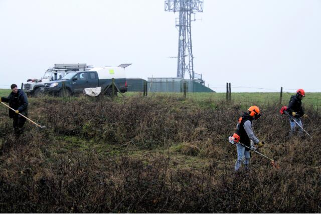
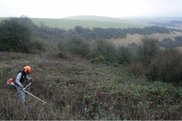
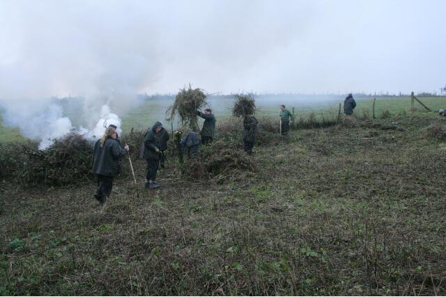
Thanks to Malcolm Emery and a couple of colleagues from Natural England, as well as a group from the South Downs Volunteer Ranger Service, at least half the site was cleared yesterday (Weds 10th January 2013), and a second day has been planned to complete the job.
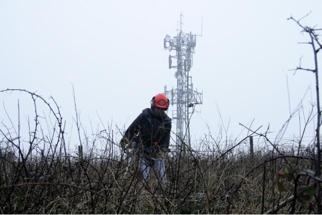
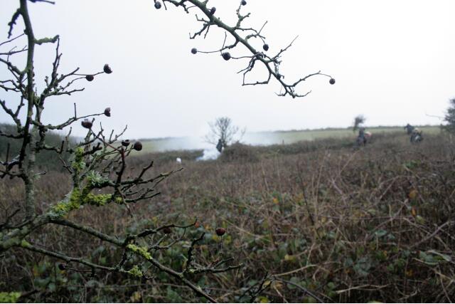
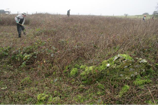
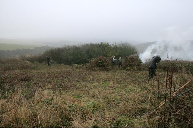
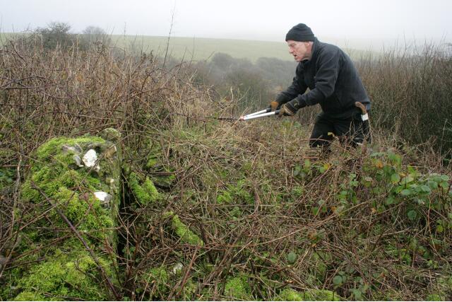
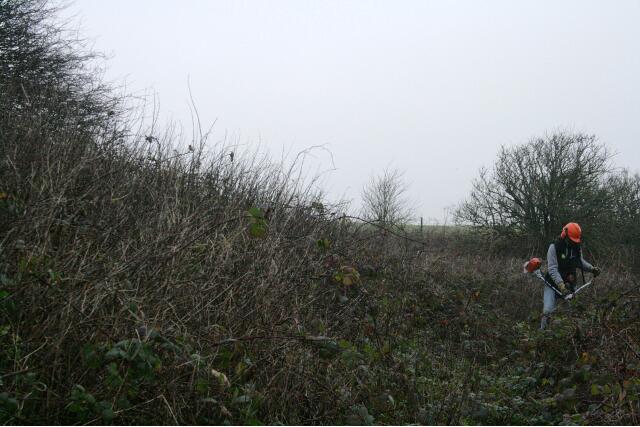
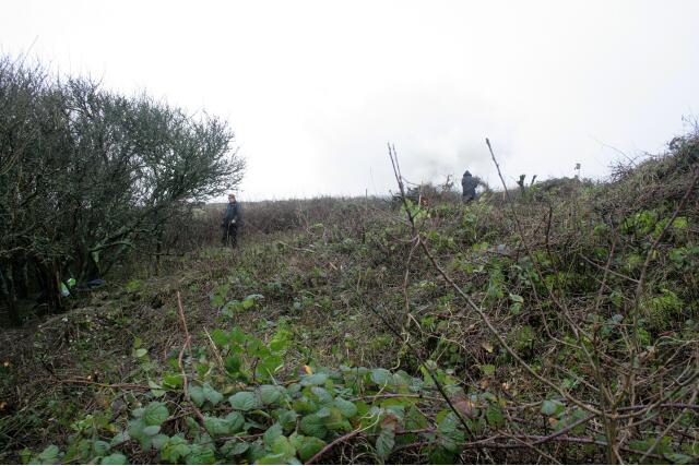
View WSW from demolition rubble mound E side of the house site looking SW across back garden towards S farmyard boundary between the trees left and centre; 10th January 2013.Looking slightly W of S from bulldozed mound of rubble to E of house site looking towards SE corner of the garden just under the Prunus scrub; 10th January 2013.Looking S along bulldozed mound of demolition rubble partially hidden by brambles. The side of the house would have been on the right of the picture. The small elder bush to the right of the fire marks the junction of the wall dividing the garden to its left from the farmyard to its right, and the wall which bounded both to the south; 10th January 2013.Clearing NW corner of the site, the site of a barn. Looking towards what has become an a major landmark – a television aerial marking the top of Newmarket Hill; 10th January 2013.The chap on the right is raking the mowings, which were burnt. Removing the debris reduces the fertility of the soil, which reduces the vitality of the rank vegetation; 10th January 2013.Looking W at Newmarket Farm site being cleared of brambles; 10th January 2013.Photo taken from within the house site looking to the SW at elder bush marking site of S end of wall dividing house and garden. The chap on the right is Malcolm Emery, taking a welcome break from his desk; 10th January 2013.Taken from under the spreading hawthorn near the NE corner of the house site, looking slightly west of south, with the elder (centre back near the fire) marking the site of the back wall between garden and farmyard; 10th January 2013.A view of the site looking to the NW with a piece of demolished masonry revealed from under the brambles; 10th January 2013.View from location of barn on NW side of site looking SE across the farmyard towards distant Prunus scrub marking SE corner of the garden; 10th January 2013Volunteer clearing back some of the vegetation from the mound of demolition rubble, just inside the east boundary wall of the garden, looking E – upright piece of masonry is not in situ – 10th January 2013.Looking N towards the NE corner of the site, just outside the garden wall, clearing the vegetation about 3m wide of the site boundary to allow for public access as well as room for spoil from any trenches; 10th January 2013Looking S towards SE corner of the garden boundary wall just under the Prunus scrub; 10th January 2013View beyond the site, towards Castle Hill to the NE, from on top of the mound of demolition rubble; 10th January 2013Looking approx WSW from SE corner of house towards distant hawthorn near SW corner of farmyard showing surface contours of site being revealed; 10th January 2013
The farmyard, in the centre of the photo, was discovered to be on a terrace, with the farm buildings – stables and cow barn – at a higher level (to the right), and the garden at a lower level (to the left).
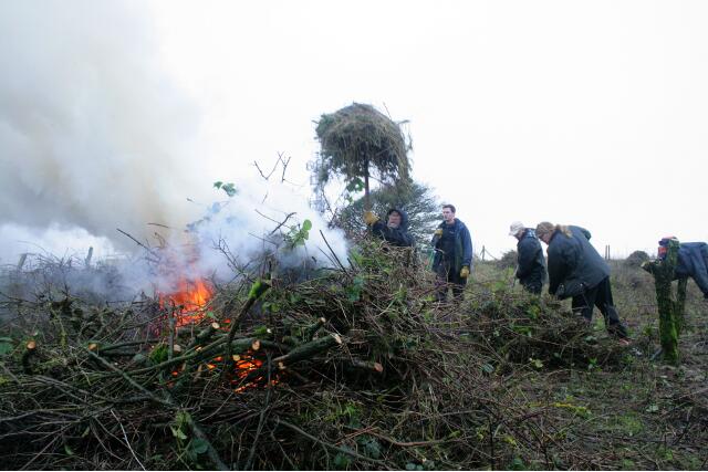
Photo taken approx SE corner of house site looking SW towards tree stump marking junction of dividing wall separating the garden on left, from the farmyard on right where it met the S property boundary; 10th January 2013.Looking NW at site clearance by burning of the cut vegetation; 10th January 2013Looking NW at burning of wet vegetation; 10th January 2013
It would have been nice if the cleared vegetation had been removed from site and composted. Better for the environment. But it would have involved a lot of work, a lot more transport, and a lot less of the site would have been cleared.